Champaign, Illinois – Mild springlike temperatures will continue across central Illinois through early next week, but residents should prepare for increased rain chances beginning Saturday afternoon. Forecasters are tracking a system that could bring widespread rainfall to areas south of Interstate 72, with the highest probabilities reaching 80%.
Daytime highs are expected to remain in the lower to upper 50s through Sunday. Temperatures will gradually climb into the upper 50s and near 60 degrees by Monday and Tuesday, offering a brief stretch of comfortable conditions. Overnight lows tonight are forecast to dip into the lower to mid-30s, keeping early mornings chilly despite the mild afternoons.
Rain Chances Increase Saturday
Rain is expected to develop Saturday afternoon and continue into Sunday morning. The heaviest and most consistent rainfall is likely south of I-72, where precipitation chances are around 80%. Areas farther north may see more scattered showers with lower overall coverage.
Saturday night will bring the greatest likelihood of steady rainfall, with probabilities ranging from 40% to 80% across central Illinois. While widespread severe weather is not currently anticipated, periods of moderate rain could lead to slick roadways and brief visibility reductions.
Travel Impacts Across Central Illinois
Communities including Springfield, Champaign, Peoria, Bloomington, and Decatur should plan for wet conditions Saturday afternoon through early Sunday.
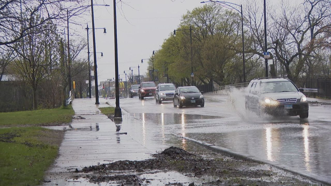
Drivers traveling along major highways such as Interstate 55, Interstate 72, Interstate 74, Interstate 39, and U.S. Route 51 may encounter reduced visibility and standing water during heavier showers. Motorists are advised to allow extra travel time, reduce speeds during rainfall, and maintain safe following distances.
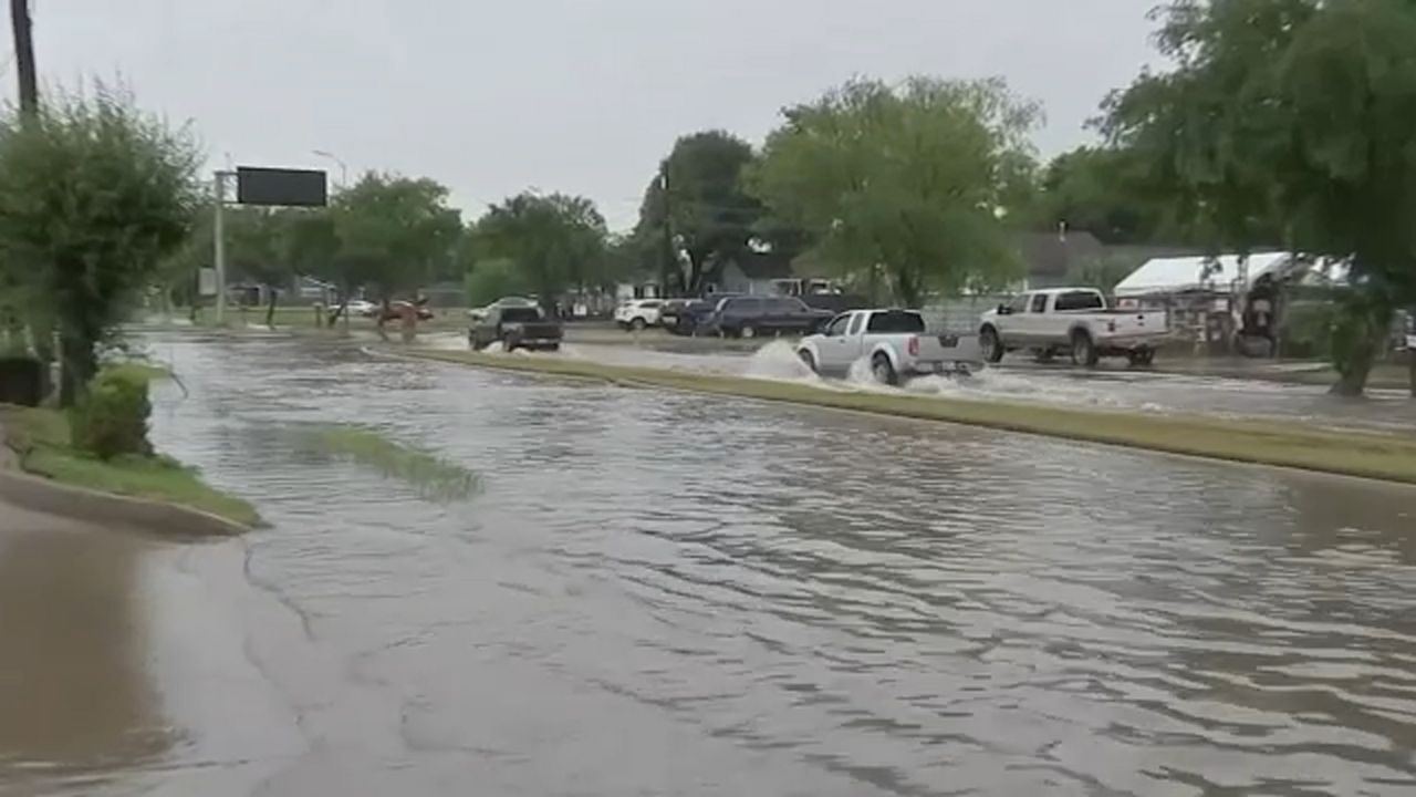
Despite the elevated rain chances, widespread flooding is not expected at this time. However, localized ponding in low-lying or poorly drained areas could occur if heavier bursts of rain develop.
Clearing Skies and Warmer Days Ahead
By Sunday afternoon, precipitation is expected to taper off, with clouds gradually decreasing across the region. Monday is shaping up to be partly cloudy and noticeably milder, with highs approaching 60 degrees. Tuesday will likely continue the warming trend, although a slight chance of rain could return Tuesday night.
For students and commuters, Monday and Tuesday will provide the most favorable travel conditions following the weekend showers. The warmer temperatures may also encourage more outdoor activity after a damp start to the weekend.
Residents across central Illinois should monitor local forecasts for updates as the weekend system approaches. While the rainfall is expected to be beneficial and not disruptive on a large scale, planning ahead for wet roadways will help ensure a safe and smooth weekend.