Wichita, Kansas — Millions of Americans across the Plains and Upper Midwest are preparing for a potentially life-threatening severe weather outbreak after forecasters issued a rare Level 4 out of 5 storm threat spanning nearly 1,000 miles across the central United States.
The dangerous weather setup comes just one day after strong storms already battered parts of the same region on Sunday, raising concerns that conditions could rapidly worsen heading into Monday night.
Rare High-Level Threat Issued for Multiple States
Forecasters say the most dangerous conditions are expected across central and northeastern Kansas extending into southeastern Nebraska, where the atmosphere is becoming increasingly unstable.
The severe weather threat also stretches into parts of southwestern Iowa and northwestern Missouri, placing millions under heightened alert for dangerous storms.
Meteorologists warn that a powerful upper-level storm system moving out of the Southwest will collide with hot and humid air already sitting over the middle of the country.
This setup is creating what experts describe as a highly dangerous environment for explosive storm development.
Tornadoes and Giant Hail Possible
According to forecasters, Monday afternoon could mark the beginning of a major tornado outbreak as conditions rapidly intensify along a cold front and dryline.
By late afternoon and evening, thunderstorms are expected to strengthen into rotating supercells capable of producing violent, long-track tornadoes.
Forecasters described the setup as an “atmospheric powder keg” that could ignite rapidly once storms begin forming.
The severe storms are also expected to generate massive hail ranging from baseball-sized to softball-sized, posing serious risks to vehicles, homes, and anyone caught outdoors.
In addition to tornadoes and hail, damaging winds capable of knocking down trees and power lines are expected throughout the region.
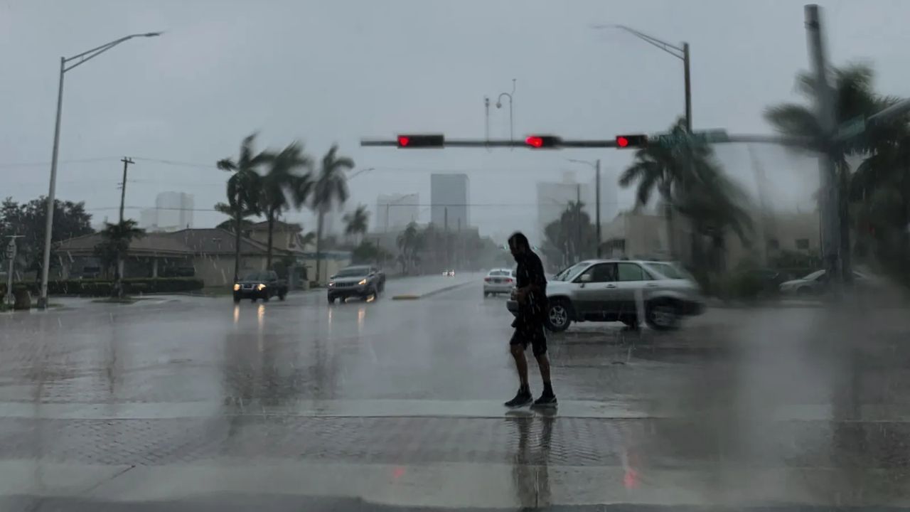
Overnight Storm Danger Increasing
Unlike many storm systems that weaken after sunset, meteorologists warn that these dangerous conditions could continue well into the overnight hours Monday night.
A large wall of storms containing heavy rain and destructive winds is expected to push eastward, potentially affecting at least a dozen states overnight.
Nighttime tornadoes are especially dangerous because visibility is limited and many people may be asleep when warnings are issued.
Emergency officials are urging residents to keep phones charged, enable weather alerts, and prepare safe shelter areas in advance.
Severe Weather Expands Tuesday
The threat is expected to continue into Tuesday as storms shift farther east toward the Ohio Valley.
Forecasters have already issued a Level 2 out of 5 severe storm threat for parts of the region as additional thunderstorms develop.
Tuesday’s system is expected to produce widespread rainfall totals between 1 and 2 inches stretching from northern Minnesota down through northeast Texas.
The heavy rain may also create a minor flash flooding risk, particularly in areas already saturated from earlier storms.
Wet Pattern Continues Ahead of Holiday Weekend
While the most intense severe weather is expected to end by late Tuesday, forecasters say the active weather pattern is far from over.
Additional rounds of rain and storms are expected to return later in the week, potentially affecting travel plans for millions of Americans heading into the Memorial Day weekend.
Residents in high-risk areas are being encouraged to closely monitor forecasts and prepare for rapidly changing conditions.
Are severe storms expected in your area this week? Share your thoughts and stay weather-aware in the comments below.