Memphis, Tennessee – Sub-freezing temperatures are set to return to the Mid-South, with overnight lows dropping to 25 degrees in Memphis by 6 a.m. Monday, creating freeze conditions along major roadways including I-40 and I-240. The cold stretch is expected to last through early Tuesday before a gradual warmup begins midweek.
Forecasters warn that while road surfaces should remain dry, bridges and elevated ramps could briefly approach freezing before sunrise, increasing the risk of slick spots during the early commute.
Incident Overview
A series of cold fronts moving across the region will bring temperatures back closer to seasonal norms after a period of unusual warmth. The strongest surge of cold air arrives late Saturday night, ushering in the coldest stretch of weather in roughly a week.
By early Monday morning, Memphis is forecast to reach 25 degrees, while surrounding cities are expected to experience similar sub-freezing conditions. The freeze threat will continue into Tuesday morning before temperatures begin to moderate.
Timeline of the Cold Front
The cold air begins settling in late Saturday night, with Sunday morning marking the first round of below-freezing temperatures. However, the coldest readings are anticipated early Monday and Tuesday before sunrise.
Forecast minimum temperatures include:
- Memphis: 25 degrees Monday morning
- Jackson, Tennessee: 22 degrees
- Jonesboro, Arkansas: 24 degrees
- Oxford, Mississippi: 27 degrees
Daytime highs on Sunday and Monday will struggle to reach beyond the upper 30s to lower 40s, making it one of the chilliest periods the region has seen in recent days. A warming trend is expected to begin Wednesday, with temperatures rebounding into the 60s by late week.
Details From Forecasters
Meteorologists indicate that while no precipitation is expected, temperature drops could still create hazards in certain areas.
“The colder air will be most noticeable during the morning commute, especially where light winds add to the chill,” forecasters said.
Officials note that bridges and elevated roadways tend to cool faster than standard pavement, which could lead to brief icy patches even when the rest of the roadway appears dry.
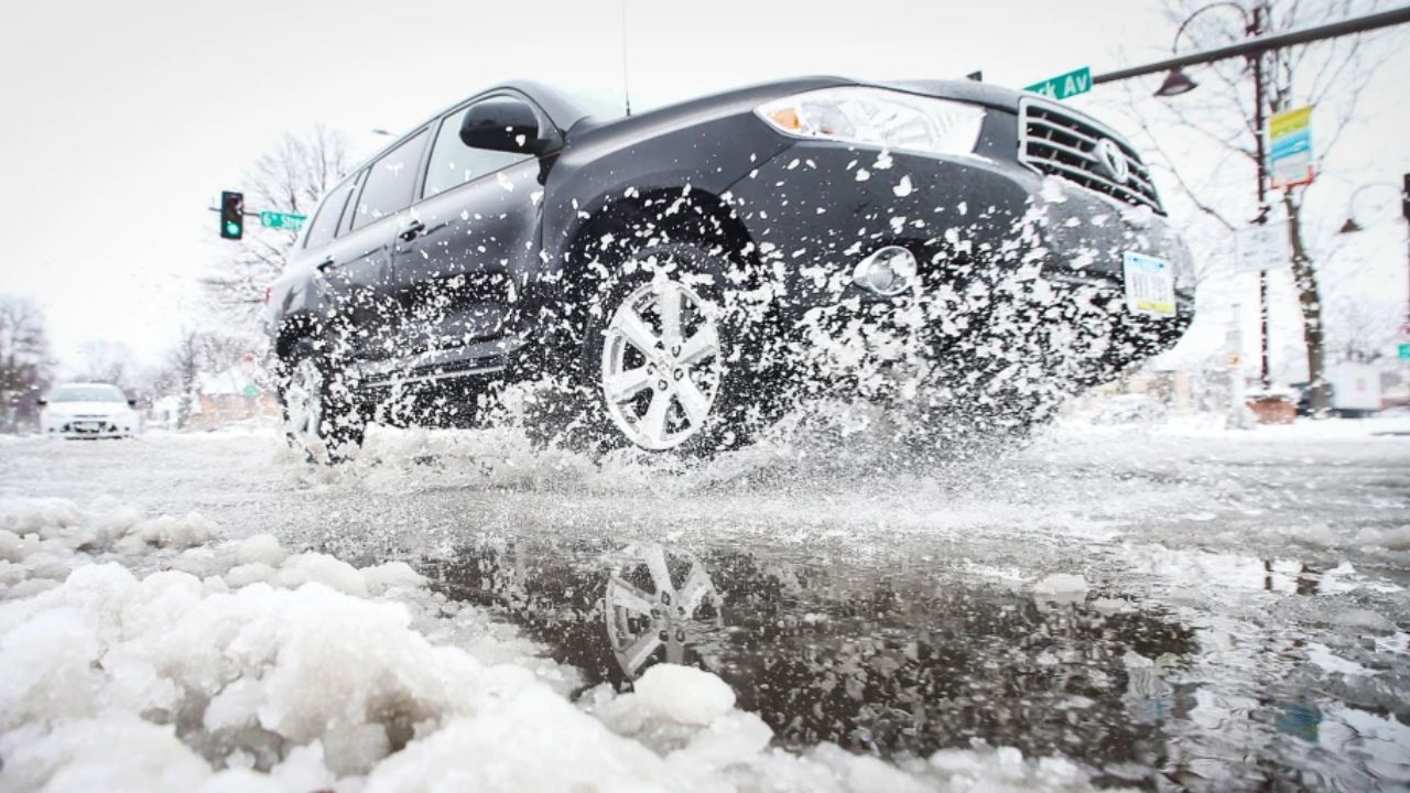
Key Travel Concerns Along Major Highways
Drivers using I-40, I-240, and I-55 during the early morning hours should remain cautious. Elevated ramps and overpasses are particularly vulnerable when temperatures hover near or below freezing.
Although widespread icing is not anticipated, even short periods of freezing conditions can affect traction. Commuters are encouraged to allow extra travel time and maintain safe following distances.
Wind chills may also make the air feel colder than the actual temperature, increasing discomfort for anyone waiting outdoors or walking to transit stops.
Public Safety and Freeze Preparedness
With multiple mornings expected to dip below freezing, residents are advised to take precautions to protect both property and pets.
Recommended safety measures include:
- Protecting exposed outdoor pipes to prevent freezing and bursting
- Bringing pets indoors during overnight hours
- Allowing vehicles extra time to warm up before early departures
- Checking tire pressure, as cold air can reduce it
Prolonged exposure to freezing temperatures can also pose health risks, especially for older adults and young children. Dressing in layers and limiting time outdoors during early morning hours can help reduce cold-related stress.
Additional Context: Seasonal Transition
The Mid-South has experienced fluctuating temperatures in recent weeks, with periods of record warmth followed by abrupt cool-downs. This pattern is typical during seasonal transitions when cold fronts move through more frequently.
While this freeze event is not unusual for late winter, the quick temperature swing may catch some residents off guard. Additional freeze advisories could be issued if colder air settles more firmly across the region.
Conclusion
Memphis and surrounding communities are bracing for a 25-degree freeze by 6 a.m. Monday, with sub-freezing temperatures expected through Tuesday morning. While major roadways are forecast to remain dry, bridges and elevated ramps along I-40, I-240, and I-55 could briefly approach freezing conditions during the early commute. Warmer temperatures are expected to return by midweek.
If you’re traveling early this week, plan ahead, drive carefully, and take necessary precautions at home.
Share your experiences in the comments below.