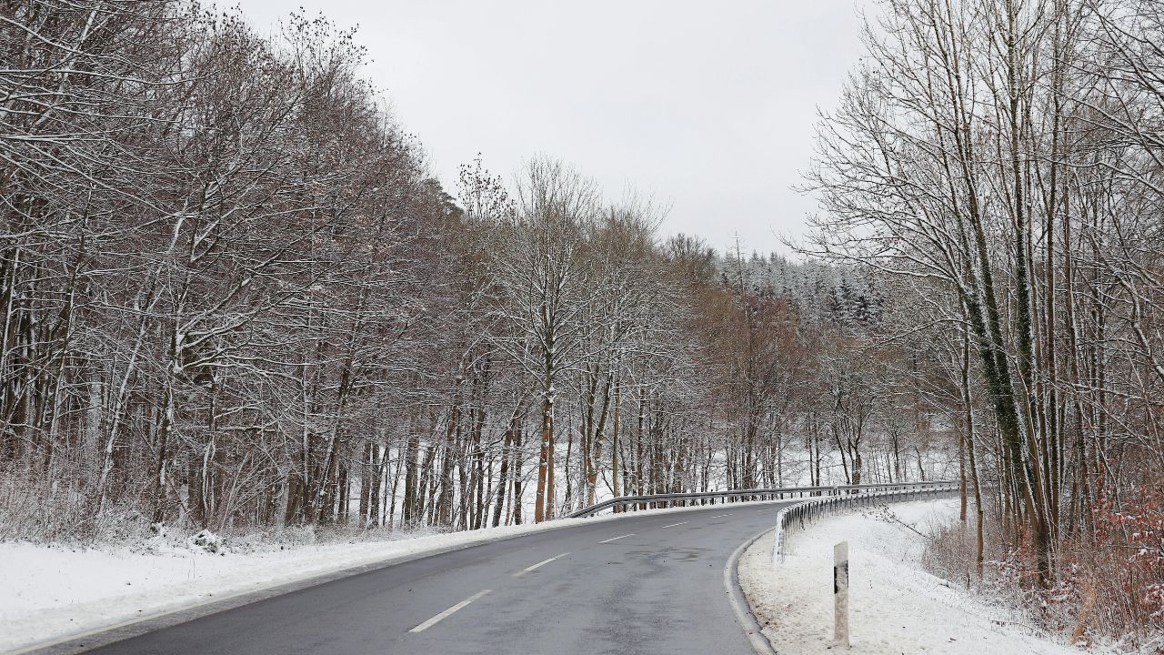
Sault Ste. Marie, Michigan – Rain is expected to transition into accumulating snow across northern Michigan Friday afternoon, bringing up to 3 inches in some areas and creating slick driving conditions along major highways, including I-75 and M-32.
Forecasters warn that changing precipitation and falling temperatures could make for hazardous travel during the late afternoon and early evening commute, especially from 1 p.m. to 7 p.m. Friday.
Incident Overview
A developing weather system moving across northern Michigan is set to shift from steady rainfall in the morning to a rain-and-snow mix by early afternoon before turning primarily to snow. The transition is expected to impact areas stretching from Sault Ste. Marie south toward Gaylord and Rogers City.
Snow accumulation totals are projected between 1 and 3 inches, with the heaviest amounts focused across the eastern Upper Peninsula and portions of the northern Lower Peninsula, commonly known as the Tip of the Mitt.
Road conditions are expected to deteriorate quickly as pavement temperatures drop, leading to slushy buildup and isolated icy patches.
Timeline of Expected Conditions
The most significant impacts are forecast during the mid-to-late afternoon window. Rain will begin mixing with snow early in the afternoon, followed by steadier snowfall rates as colder air settles into the region.
By late afternoon, untreated roads may become slick, particularly in elevated or open areas where temperatures cool more rapidly. Snow is expected to taper later Friday evening, though scattered snow showers may linger overnight.
Highways Most at Risk
Travelers along I-75 from Grayling to the Mackinac Bridge should prepare for changing road surfaces. Wet pavement could quickly become slushy as snowfall intensifies and temperatures decline.
Additional trouble spots include:
- M-28 across the eastern Upper Peninsula
- US-131 near Petoskey
- M-32 corridors connecting Gaylord and surrounding communities
Visibility could drop below one mile in heavier bursts of snow, particularly in open stretches where wind may reduce visibility further.
Key Weather Facts
- Expected snowfall: 1 to 3 inches
- Most affected corridor: Sault Ste. Marie to Gaylord
- Peak impact window: 1 p.m. – 7 p.m. Friday
- Potential visibility reduction: Below one mile
- Primary highways affected: I-75, M-28, US-131, M-32
While no major winter storm warnings have been issued, localized hazardous travel remains possible through Friday night.
Road Response and Changing Conditions
Transportation crews are expected to monitor and treat highways as conditions evolve. However, rapid drops in pavement temperature may cause isolated slick spots before plowing and salting operations fully take effect.
Drivers should be particularly cautious on bridges, overpasses, and ramps, which tend to freeze more quickly than main road surfaces.
Safety Recommendations for Residents
Authorities are urging residents to take precautionary steps before heading out during the afternoon and evening commute.
“Allow extra travel time, reduce speeds on bridges and ramps, and monitor road conditions before leaving,” weather officials advise.
Checking updated road condition reports prior to departure can help drivers avoid the most hazardous stretches.
Motorists should also:
- Maintain a safe following distance
- Avoid sudden braking or sharp turns
- Keep headlights on during periods of reduced visibility
- Carry emergency supplies during winter travel
Additional Context
Early-season snow events like this often create more dangerous conditions than larger winter storms because drivers may not yet be fully adjusted to winter driving habits. Even light accumulations can quickly turn hazardous when combined with falling temperatures and busy commuter traffic.
Fluctuating precipitation patterns—especially rain switching to snow—can also increase the likelihood of icy patches forming beneath slush, creating black ice risks that are difficult to detect.
Conclusion
Northern Michigan residents should prepare for rapidly changing weather conditions Friday afternoon as rain transitions to snow and up to 3 inches of accumulation develops in localized areas. The most challenging travel conditions are expected between 1 p.m. and 7 p.m., particularly along I-75 and surrounding regional highways.
Though widespread winter storm warnings are not in place, drivers should remain alert and adjust plans as necessary to ensure safe travel.
If you’re traveling in northern Michigan this evening, plan ahead and drive cautiously. Share your experiences in the comments below.