CHICAGO, IL — Millions of residents across the Midwest and Central U.S. are bracing for a “high-impact” severe weather event this week that experts warn will be significantly more dangerous than last week’s storms. Meteorologists are tracking a violent system capable of producing multiple tornadoes, baseball-sized hail, and life-threatening flash floods through Tuesday night and into Wednesday.
Tuesday Night: The “Danger Zone” After Dark
According to AccuWeather Senior Meteorologist Tyler Roys, the period from Tuesday afternoon through Tuesday night poses the greatest risk. A high-risk corridor has been identified stretching from Des Moines, Iowa, to Milwaukee and Chicago.
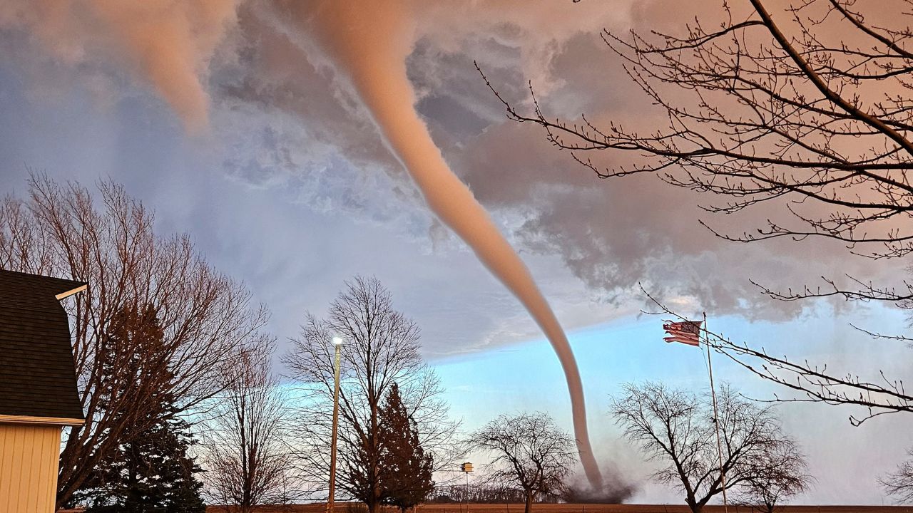
The primary concern for local officials is the timing of these storms. “Some of the most dangerous storms may develop around dusk and continue after dark,” Roys warned. Nighttime tornadoes are historically more lethal because they are difficult to see and can strike while residents are asleep.
Key Threats Include:
- Destructive Hail: Potential for hail the size of golf balls or baseballs, capable of shattering windshields and damaging roofs.
- Damaging Winds: Gusts of 60 to 70 mph, with some areas seeing “StormMax” bursts up to 85 mph—enough to topple trees and cause widespread power outages.
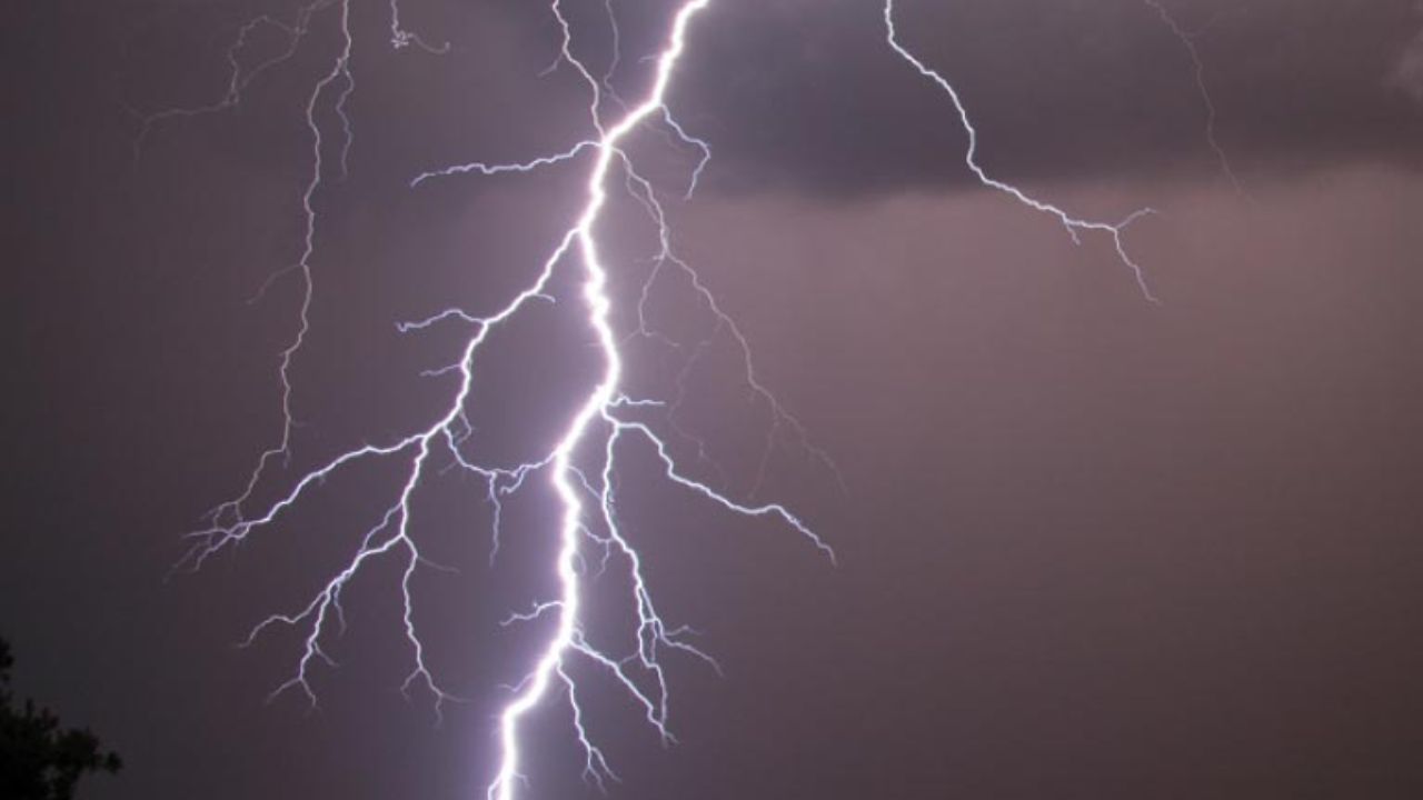
- Tornadoes: A high risk of discrete thunderstorms merging into an intense squall line capable of producing tornadoes.
Travel and Infrastructure Disruptions
Major travel hubs, including O’Hare and Midway in Chicago, and Detroit Metropolitan Airport, are expected to face significant delays. Pilots and ground crews are on high alert for microbursts and hail, which can make landings and takeoffs extremely hazardous.
As the storms move east, a “long-lasting high wind event” is expected to travel from Wisconsin and Northern Illinois into the Lower Peninsula of Michigan, reaching Detroit late Tuesday night.
Wednesday and Beyond: The Threat Shifts
The severe weather won’t stop on Tuesday. On Wednesday, the storm front will extend from north-central Texas all the way to central Wisconsin and parts of the Northeast, including New York and Pennsylvania.
The Upper Midwest is also facing a “dual-threat” scenario. The combination of heavy downpours, recent snowmelt, and previous rainfall is triggering a surge in river levels. Moderate to major flooding is expected to persist through midweek, with many rivers not receding until the weekend.
New Storm Surge Expected Friday
After a brief transition on Thursday, a new system will re-energize over the Plains. Forecasters have already flagged Friday and Saturday for another broad zone of potent weather. The highest risk on Friday will center around Kansas City, Missouri, and extend from Texas to Minnesota.
Safety Recommendations for Residents
Local authorities urge everyone in the threat zones to:
- Have Multiple Alerts: Ensure your phone’s emergency alerts are ON and have a battery-operated weather radio.
- Identify Your Shelter: Know exactly where to go—ideally a basement or an interior room on the lowest floor.
- Secure Property: Move vehicles into garages and bring pets or livestock to safety before dusk.
Are you in the path of the storm? Share your local weather conditions or photos in the comments below to help keep your neighbors informed. Stay safe, Midwest!