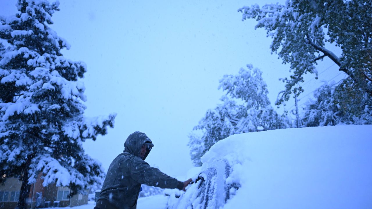
DENVER, CO – A powerful late-season snowstorm has blanketed the Front Range and southeast Wyoming, breaking decade-long records and leaving more than 50,000 residents in the dark on Wednesday.
Record-Breaking Totals
The National Weather Service (NWS) in Boulder reported 10.7 inches of snow, marking the city’s heaviest May snowstorm in 13 years. Other areas saw even more dramatic accumulations:
- Estes Park: Over 24 inches (2 feet) of snow.
- Rocky Mountain National Park: Up to 20 inches reported.
- Cheyenne, WY: 8.9 inches, the city’s heaviest snowfall of the entire season.
- Denver International Airport: 5.5 inches as of Wednesday morning.
Power Outages and Road Closures
The heavy, wet nature of May snow has taken a toll on local infrastructure. Approximately 56,000 power outages were reported, primarily across the Denver metro area, as snow-laden tree branches snapped onto power lines.
Travel remains treacherous in several corridors. Interstate 80 was temporarily shut down between Laramie and Cheyenne, and authorities continue to report slushy, dangerous conditions on Interstate 25 from North Denver to Fort Collins.
The Forecast: Slow Recovery
Snow is expected to taper off from north to south throughout Wednesday evening. However, an additional 5 inches of accumulation is possible in the foothills west of I-25 in central and southern Colorado.
While this storm provides a boost for remaining ski areas like Arapahoe Basin and Copper Mountain, experts note it will not be enough to solve the region’s long-term snow drought.
Historical Context
While May snow isn’t unheard of in the “Mile High City,” this storm is significant. Denver’s latest measurable snow on record occurred on June 2, 1951. For Cheyenne, this storm almost doubled their entire seasonal snowfall total, which had been at record lows prior to this week.