PHILADELPHIA, PA – Weather authorities have issued a NEXT Weather Alert for the Philadelphia region as an extremely dangerous heat wave threatens to break 125-year-old temperature records this week.
An Extreme Heat Watch is officially in effect from noon Wednesday through 8:00 p.m. Sunday. Officials expect this to be elevated to an Extreme Heat Warning by early Tuesday, prompting the opening of local cooling centers.
The Timeline: When It Hits Hardest
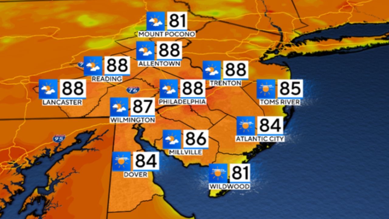
While the heat wave begins on Tuesday with a high of 92 degrees, the most dangerous conditions will settle in from Wednesday through Saturday.
- Wednesday: High 100°F | Low 74°F (NEXT Weather Alert)
- Thursday: High 104°F | Low 80°F (NEXT Weather Alert)
- Friday: High 104°F | Low 83°F (NEXT Weather Alert)
- Saturday: High 98°F | Low 81°F (Storm threat)
With intense humidity, heat indices are projected to skyrocket between 105 to 110-plus degrees.
Chasing Historic Records
Philadelphia is on track to potentially witness its worst heat wave in at least 15 years. Since 1894, the city has only seen 64 days reach the 100-degree mark.
Significantly, Philly has never had four consecutive 100-degree days in recorded history—a record that could be challenged this week as the city chases the historic July 2 (103°F from 1901) and July 3 (104°F from 1966) benchmarks.
Storm Risks and Public Safety
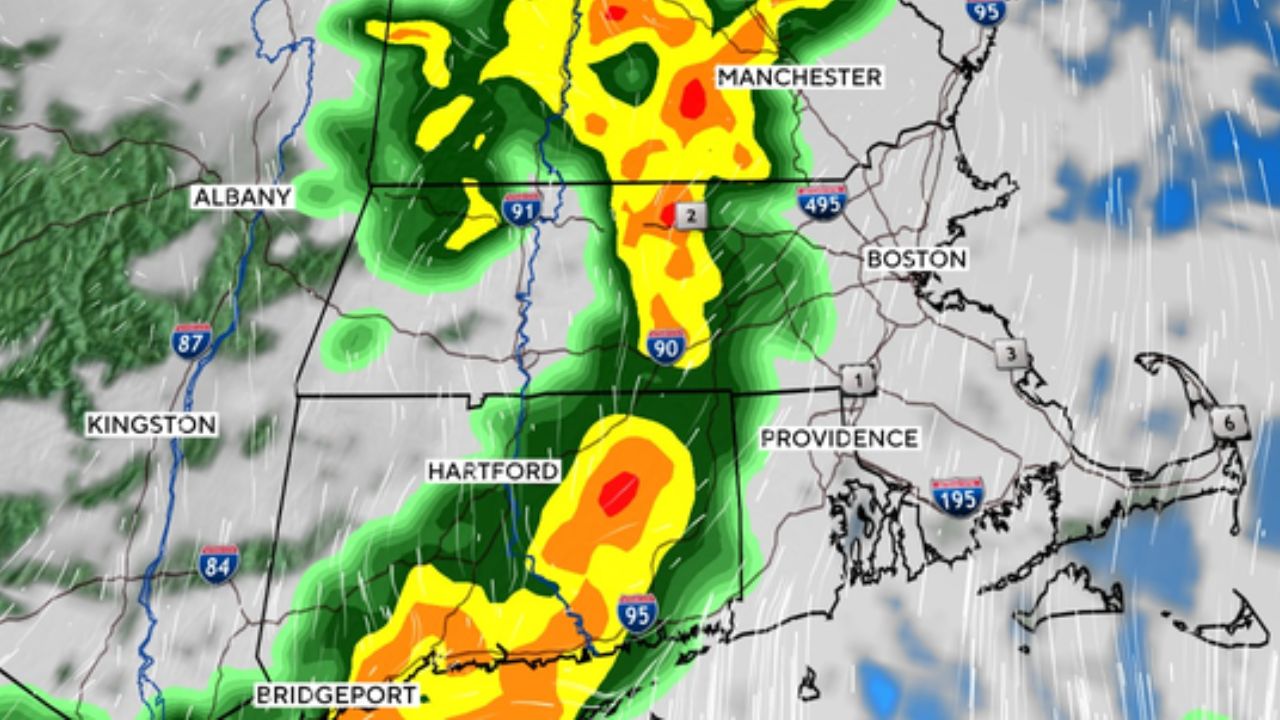
The extreme heat and humidity could trigger pop-up afternoon and evening thunderstorms each day. While any rain might temporarily drop temperatures into the upper 90s, these storms carry risks of flash flooding and severe wind gusts.