Kansas City, Missouri — Residents across the Missouri Valley and parts of the Midwest may have only hours to prepare as a volatile storm system develops Friday, bringing the threat of strong tornadoes, giant hail, and destructive winds into the evening and overnight hours.
Forecasters warn that severe thunderstorms could rapidly intensify during the late afternoon across the central Plains before pushing east toward Missouri and neighboring states overnight.
Severe Storms Expected to Intensify Friday Afternoon
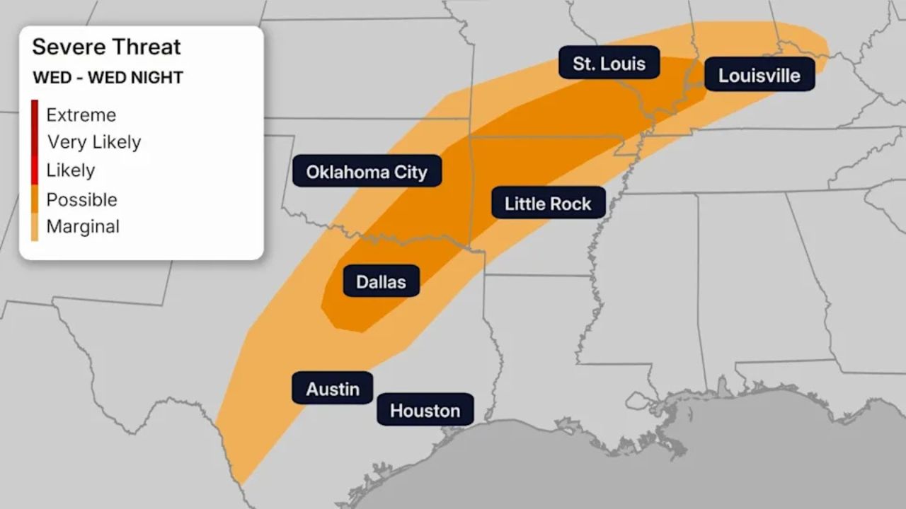
According to the National Weather Service Storm Prediction Center, storms are expected to develop across parts of Kansas and Oklahoma during the afternoon before expanding eastward.
The corridor of greatest concern stretches from the Southern Plains into the Midwest, including communities such as Kansas City, Topeka, Wichita, Springfield, and Des Moines.
Meteorologists say atmospheric conditions could support intense thunderstorms capable of producing tornadoes, destructive winds, and extremely large hail.
Storms may quickly organize into powerful supercells capable of producing dangerous weather in a short amount of time.
Strong Tornadoes and Giant Hail Possible
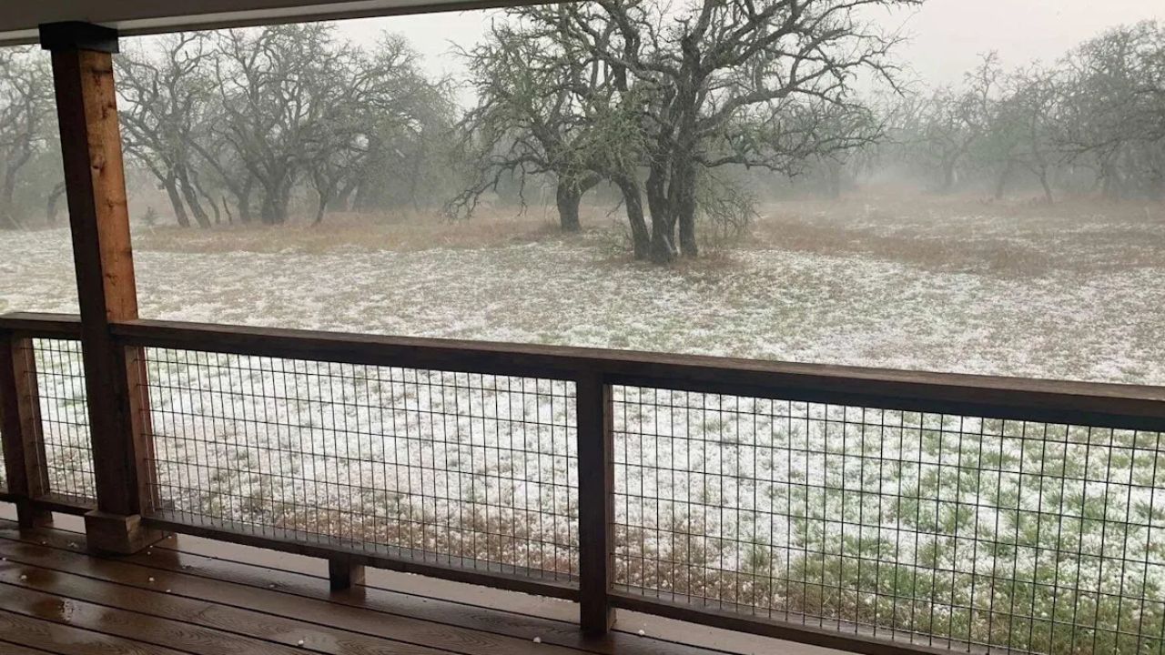
The strongest storms could produce hail larger than two inches in diameter, which is large enough to cause serious damage to vehicles, roofs, and crops.
Wind gusts could approach 75 mph, potentially knocking down trees and power lines while creating dangerous travel conditions.
Forecasters warn that strong tornadoes are also possible, particularly as storms move east during the evening hours when atmospheric instability remains high.
Because some storms may form quickly, residents are urged to remain alert to weather alerts and warnings.
Evening and Overnight Storm Threat
Storms are expected to move east into western and central Missouri during the evening, then continue into parts of Iowa and Illinois overnight.
The overnight timing increases the danger, as tornado warnings may occur while many people are sleeping.
Emergency officials recommend having multiple ways to receive alerts, such as weather radios or smartphone emergency notifications.
Severe storms may continue tracking east through the Ozarks and portions of the Midwest overnight, with additional watches and warnings likely.
Travel Conditions Could Change Rapidly
Major travel routes may also experience dangerous weather conditions during the storms.
Highways potentially affected include:
• Interstate 35
• Interstate 70
• Interstate 44
Drivers could encounter bursts of large hail, sudden wind gusts, heavy rain, and reduced visibility.
Travelers are advised to monitor weather conditions and delay travel if severe storms approach.
Residents Urged to Prepare Now
Emergency managers are encouraging residents across the region to prepare ahead of the approaching storms.
Recommended safety steps include:
• Reviewing tornado safety plans
• Identifying the safest place in the home to shelter
• Charging mobile devices ahead of the storm
• Staying updated through local weather alerts
Because conditions can change quickly during severe weather outbreaks, preparation ahead of time is essential.
As the storm system develops Friday, additional watches and warnings may be issued across the Plains and Midwest.
Are you in the Missouri Valley or Midwest and preparing for tonight’s storms? Share how your community is getting ready and what conditions look like in your area in the comments below.