NATIONAL — A powerful weather “double-header” is unfolding across the United States this week. While the Eastern half of the country prepares for record-breaking cold and potential crop damage, a separate, aggressive Pacific storm is dumping heavy rain and several feet of snow across the West.
From “hard freezes” in the Appalachian mountains to flooding threats in California, here is what you need to know to stay safe and protect your property.
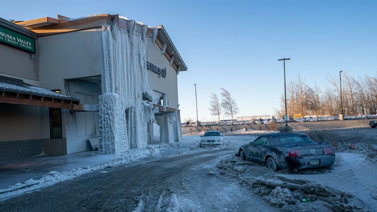
The Big Chill: Freeze Warnings from the Midwest to the Carolinas
A strong cold front is currently pushing across the Eastern U.S., dragging temperatures well below seasonal averages. According to the National Weather Service, daytime highs will struggle to reach the 40s and 50s in many regions.
The most significant danger lies in the overnight hours.
- The Forecast: Lows are plummeting into the 20s and 30s across the interior Northeast, the Ohio Valley, and the Great Lakes.
- The Surge South: Surprisingly, freeze warnings have been issued as far south as North Carolina, where blossoms are already out and vulnerable.
- Expert Insight: “We are looking at two consecutive very cold mornings,” says AccuWeather’s Brett Anderson. He warns that Monday night into Tuesday morning will bring “ideal cooling conditions,” leading to widespread frost.
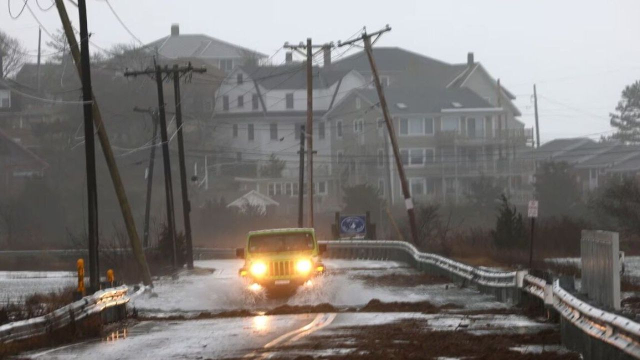
West Coast Alert: Feet of Snow and Flooding Rain
While the East shivers, the West is getting soaked. A deep Pacific storm system is moving inland, bringing a mix of high-altitude snow and low-altitude drenching rain.
- Sierra Nevada: Forecasters expect a massive 1 to 2 feet of snow through Tuesday.
- California: Northern and Central California are under a flood watch as repeated rounds of heavy rain saturate the soil.
- Extended Reach: The precipitation is expected to expand into the Pacific Northwest and the Great Basin as the week progresses.
Action Plan: How to Protect Your Plants and Pipes
The sudden drop in temperature is particularly dangerous because a recent warm spell pushed many plants ahead of schedule. “Blossoms and buds that emerged early are especially vulnerable,” warns AccuWeather’s Tyler Roys.
Before the sun goes down tonight, residents in freeze-prone areas should:
- Bring Plants Inside: Move tender potted plants to a garage or basement.
- Cover Gardens: For plants in the ground, use burlap or specialized frost blankets (avoid plastic touching the leaves).
- Drain Systems: Empty irrigation systems to prevent cracked lines.
- Disconnect Hoses: Remove garden hoses from outdoor faucets to prevent internal pipe bursts.
Midweek Warm-up and Fire Concerns
In a strange twist, much of the central U.S. will see a brief spike in temperatures, with the Plains hitting the 70s and 80s by Wednesday. However, officials warn that because the region remains very dry, this rebound in heat could lead to elevated fire concerns later in the week.
Meanwhile, a lingering boundary in Texas will keep daily thunderstorms and isolated flash flooding in the forecast through midweek.
What’s the weather like where you are? Did the frost hit your garden, or are you dealing with the heavy rain out West? Share your local conditions and photos in the comments below!