UNITED STATES — March may be here, but winter is far from over across large parts of the country. As of Friday, March 6, the National Weather Service (NWS) continues to issue warnings for severe weather, including snow, strong winds, thunderstorms and potential tornadoes.
Two separate storm systems are currently moving across the nation — one impacting the Central Plains and Midwest, and another targeting the Northeast. While not expected to match the intensity of the recent record-breaking blizzard of 2026, both systems are expected to bring significant impacts heading into the weekend.
Midwest, Central Plains and Northeast Could See Up to 12 Inches of Snow
According to the National Weather Service, winter storm warnings, watches and advisories have been issued for parts of:
- Wisconsin
- Montana
- North Dakota
- South Dakota
- Wyoming
- New York
- Pennsylvania
- Vermont
- New Hampshire
- Massachusetts
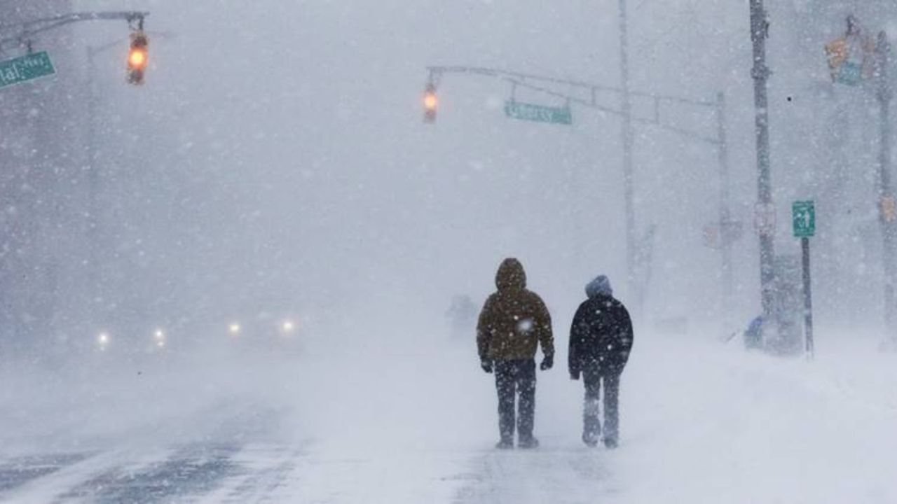
In higher elevations and isolated areas, snowfall totals could reach up to 12 inches. Strong winds, with gusts up to 60 mph in some regions, may lead to blowing snow and reduced visibility.
While widespread record-breaking totals are not expected, accumulations ranging from a dusting to several inches are likely across affected states. With temperatures hovering closer to seasonal norms, much of the snow may not linger long after the storm passes.
Meteorologists warn that neighboring states could also be impacted if storm tracks shift.
Severe Weather Threat Expands Across Southern and Central U.S.
While northern states deal with snow, portions of the southern and central United States are facing a different threat.
The National Weather Service indicated that a multi-day severe weather pattern is underway. Friday carries an Enhanced Risk (Level 3 out of 5) for severe storms in certain regions.
Hazards include:
- Damaging wind gusts
- Large hail
- Tornado potential
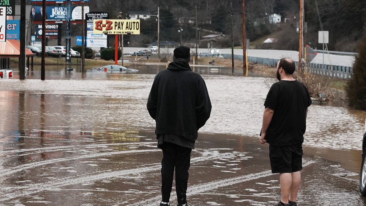
- Flash flooding
According to AccuWeather meteorologists, a clash between warm Gulf air and cooler Pacific and Canadian air masses is fueling repeated rounds of storm systems.
“A prolonged pattern of repeated storm systems will fuel multiple rounds of severe thunderstorms and heavy rain across a wide portion of the central United States,” AccuWeather experts stated.
Flooding Concerns Rising
Heavy rain associated with these storm systems could increase the risk of flash flooding in vulnerable areas. Saturated ground conditions from previous storms may worsen runoff and localized flooding concerns.
Residents in affected regions are urged to monitor local alerts and prepare for rapidly changing weather conditions through the weekend and into next week.
Spring Officially Begins March 20
Despite the winter-like conditions in many areas, the first official day of spring falls on March 20, according to the Farmer’s Almanac.
There is some good news on the horizon. The National Oceanic and Atmospheric Administration (NOAA) eight-to-14-day outlook suggests warmer-than-average temperatures may begin spreading across portions of the country later in March.
Stay Prepared
With snow in the north and severe storms in the south and central states, this transitional weather pattern highlights the volatility typical of early March.
Travelers and residents in impacted areas should:
- Check local forecasts frequently
- Avoid unnecessary travel during heavy snow or severe storms
- Prepare emergency kits
- Follow official guidance from weather authorities
For more breaking national updates, weather alerts and in-depth coverage, visit GunnisonGiddyUp.com and stay informed.