CENTRAL U.S. — A relentless and deadly severe weather outbreak is continuing its destructive march across the American Heartland. After a weekend that has already claimed at least two lives and leveled buildings across the Plains, meteorologists are warning that the worst may still be to come for the Midwest and Ohio Valley.
As of Monday morning, a “dangerous situation” remains in effect as the atmospheric recipe of warm, humid air and intense wind shear creates a breeding ground for long-track, violent tornadoes.
Fatalities Reported in Texas
The human toll of this latest storm system became clear early Sunday morning. Authorities confirmed that two people were killed as powerful storms tore through North Texas—one fatality in Wise County and another in Parker County.
The destruction has not been limited to the south. In Edgerton, Kansas, reports indicate barns have been destroyed and homes heavily damaged. Across Missouri, the towns of Adrian, Collins, and Clinton are dealing with downed power lines, uprooted trees, and structural damage to brick buildings.
Monday Forecast: High-Risk Supercells for the Midwest
Weather experts are sounding the alarm for Monday, as the higher severe threat shifts toward the Mississippi and Lower Ohio Valleys.
The National Weather Service warns that another day of supercell thunderstorms could spawn “strong tornadoes”—some potentially reaching EF3 status or higher. Residents in the following cities should remain in a high state of alert:
- St. Louis and Kansas City, MO
- Des Moines and Iowa City, IA
- Chicago and Indianapolis
- Little Rock, AR and Nashville, TN
The Historic “Tornado Emergency” in Enid
This current siege follows a terrifying Thursday that saw a rare Tornado Emergency issued for Enid, Oklahoma, and the Vance Air Force Base. That tornado was officially rated an EF4, packing winds of 170–175 mph.
It marked the first EF4 tornado in Garfield County since 1991. While ten injuries were reported, the damage was described as catastrophic. During the same event, a staggering wind gust of 107 mph was recorded at Vance Air Force Base, while residents in Marion, Kansas, reported softball-sized hail (4 inches in diameter).
Flood Threats and “Turn Around, Don’t Drown”
While the wind and tornadoes grab headlines, a significant flood threat is emerging for the western Great Lakes and the Mid-South.
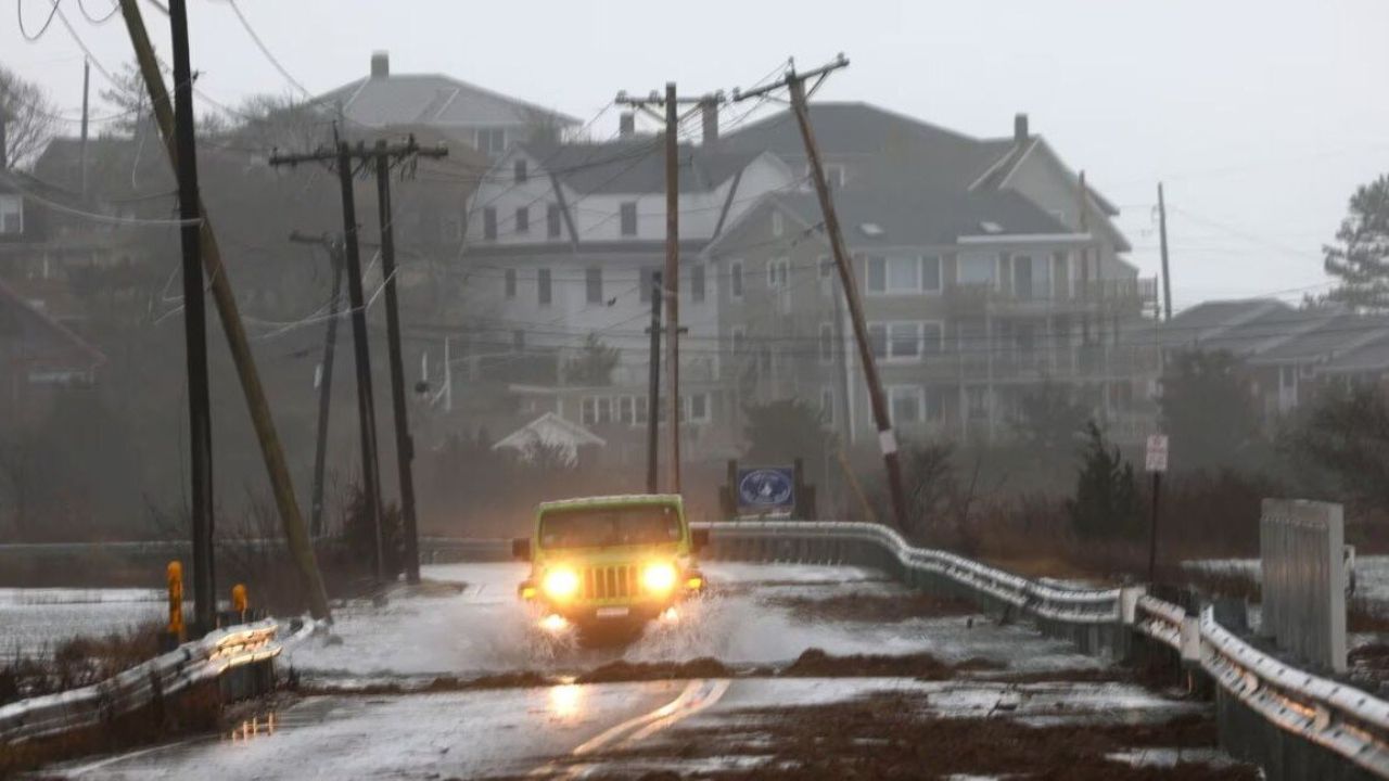
With the ground already saturated from spring deluges, an additional inch of rain could trigger flash flooding. Experts warn that flooding is particularly dangerous at night when standing water on roads is nearly invisible. Drivers are urged to “Turn Around, Don’t Drown,” as most flood-related deaths occur in vehicles.
What’s Next? Tuesday Outlook
The storms aren’t expected to let up until midweek. By Tuesday, the frontal boundary will sag into the Gulf Coast states. The greatest risk area will stretch from Northeast Texas to Kentucky, putting cities like Memphis, Shreveport, and Huntsville directly in the crosshairs.
How to Stay Safe
- Know your “Safe Spot”: An interior room on the lowest floor, away from windows.
- Charge your devices: Power outages are likely across the region.
- Enable Wireless Emergency Alerts (WEA): Ensure your phone can wake you up if a warning is issued while you sleep.
Are you in the path of these storms? Share your local weather conditions or photos of the storm’s aftermath in the comments below to help keep your neighbors informed.