ST. LOUIS, MO – After a brief respite, a massive storm system is taking shape over the Midwest, threatening areas already recovering from a series of destructive spring tornadoes and severe weather.
Major Cities In The Impact Zone
Meteorologists warn that a developing low-pressure system combining with a frontal boundary and surging moisture will trigger severe thunderstorms on Wednesday. The storm zone spans across the Central Plains and into the Ohio Valley, putting several major metro areas directly in the path:
- St. Louis, MO
- Chicago, IL
- Indianapolis, IN
- Kansas City, MO
Forecasters from AccuWeather emphasize that these storms are capable of generating damaging wind gusts, large hail, and isolated tornadoes.
Threat Shifts East On Thursday
The severe weather setup will advance eastward on Thursday, tracking through the Ohio Valley and into the Northeast. High winds, heavy downpours, and localized flooding are expected to stretch from Kentucky all the way into parts of New England, threatening significant disruptions to both road and air travel.
Local weather experts have noted that the National Weather Service’s early and direct warnings indicate a highly volatile atmosphere.
An Already Devastating Spring Season
This latest system follows a historically active spring for extreme weather across the region:
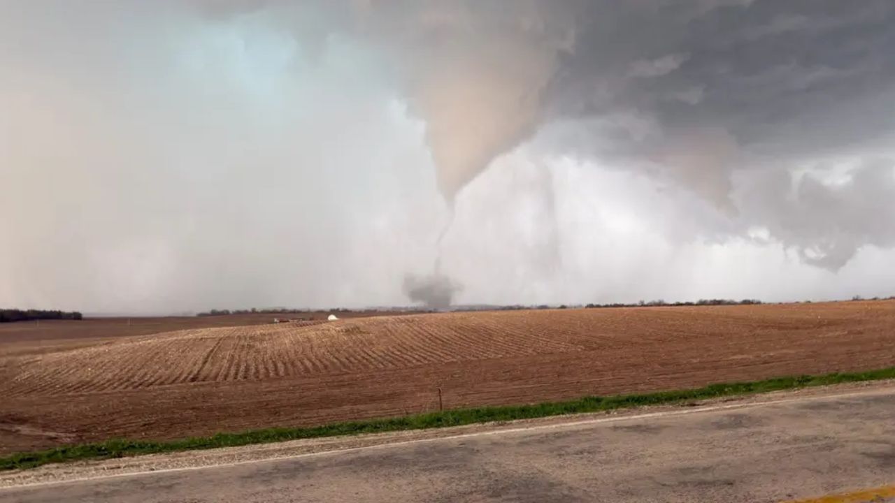
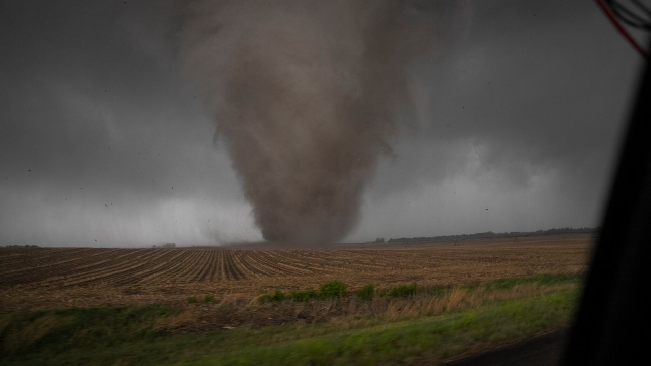
- Illinois & Iowa: Recovering from multiple destructive tornado outbreaks and heavy hail fields that struck in April.
- Michigan: Still rebuilding from a deadly EF-3 tornado in March that resulted in four fatalities.
National Weather Monitor
Beyond the Midwest, meteorologists are also tracking Tropical Storm Arthur, which threatens to bring flooding rains to the Gulf Coast and the lower Mississippi Valley later this week. Additionally, flood warnings remain active across large portions of Texas, raising concerns for local travel and infrastructure.