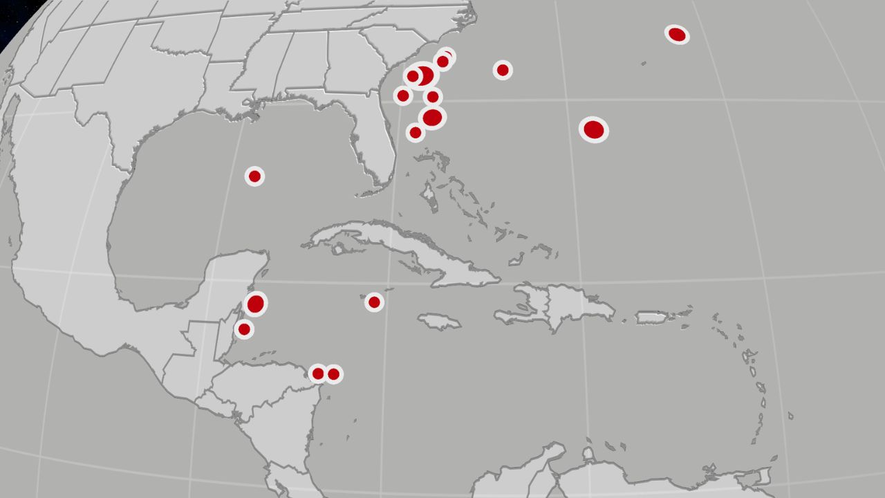
MIAMI, FL — Florida is currently caught in a dramatic weather tug-of-war. While a stationary front brings much-needed soaking rain to the drought-stricken Sunshine State, officials are warning that the relief could come with a dangerous price: flash flooding in urban areas.
In an unusual turn for April and May—typically the peak of Florida’s dry season—upper-level disturbances from the Gulf are dumping inches of rain across the peninsula. While the water is desperately needed, the sheer volume and speed of the downpours are creating a new set of hazards for residents.
The Current Situation: Damage and Deluge
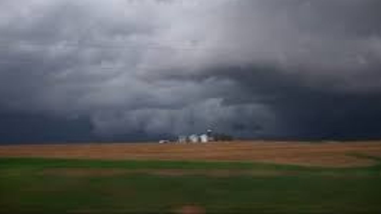
The week has already seen significant weather activity. Parts of Florida have recorded between 2 to 6 inches of rain, though the distribution remains scattered. However, the rain hasn’t been entirely peaceful.
On Tuesday, a severe thunderstorm packing high winds tore through the Miami suburb of Hialeah, causing structural damage to at least two homes. This serves as a stark reminder that even “drought-busting” rain can turn destructive in an instant.
Forecast: Who Will See the Most Rain?
Meteorologists expect this unsettled pattern to remain locked in through Thursday. Drier air is forecasted to arrive by Friday, likely clearing the way for outdoor weekend plans and Spring Break activities.
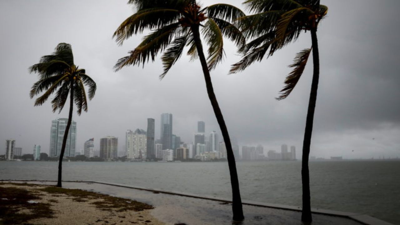
However, before the clearing begins, the East Coast remains in the bullseye. Cities including Miami, Fort Lauderdale, West Palm Beach, and Daytona Beach are expected to see the highest additional rainfall totals.
- Expected Totals: Additional amounts over an inch are likely from the Space Coast down to the Everglades.
- Isolated Extremes: Slow-moving storms could dump over 5 inches in localized spots.
- Rain Rates: Some areas may experience intense bursts of 1 to 2 inches per hour, a rate that almost guarantees urban flooding.
Conversely, the Florida Panhandle and the West Coast are expected to see much lighter amounts, with some areas receiving no additional rain at all.
A Historic Drought: The Stakes Are High
The desperation for rain stems from a historic dry spell. Florida is currently enduring one of its worst droughts of this century. According to the U.S. Drought Monitor, nearly 80% of the state is under “extreme” drought conditions—the most widespread coverage since record-keeping began in 2000.
In Northern Florida, the situation is even more dire, with some areas classified under “exceptional” drought, the highest possible category. To put the deficit in perspective:
- Tallahassee has recorded only 6.66 inches of rain this year, less than half of its 15-inch average.
- Jacksonville, Orlando, and Daytona Beach are all reporting significantly below-average rainfall.
The Danger of “Too Much, Too Fast”
While the rain is a blessing, drought-parched soil acts like concrete. When rain falls too quickly, the ground cannot absorb it, leading to immediate runoff and flash flooding. Experts estimate that Florida needs at least two feet of rain over the next three months to fully erase the current deficit.
As we move through Thursday, residents are advised to monitor local radar and stay clear of flooded roadways. The hope remains that this unusual spring soaking will be steady enough to heal the soil without drowning the streets.
Is your neighborhood seeing the rain or still bone-dry? Share your photos and rainfall totals in the comments below!