INDIANAPOLIS, IN — Hoosiers are in for a weather rollercoaster this week as Indianapolis balances unseasonably warm temperatures with a series of incoming storm systems. While Tuesday offers a taste of early summer, local residents should prepare for a significant shift in conditions as high winds and rain chances take center stage.
Hold Onto Your Hats: High Wind Warning
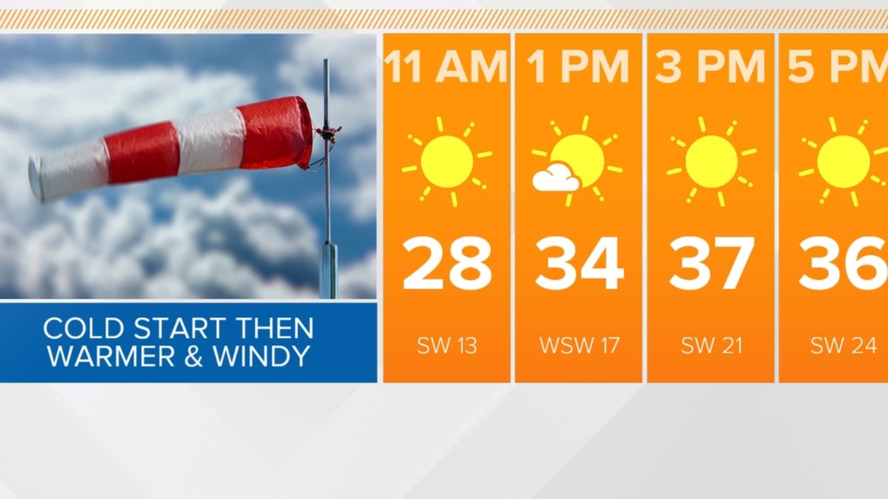
The primary story for Tuesday is the wind. Indianapolis is currently “sandwiched” between two massive pressure systems—high pressure sitting to the south and east, and low pressure to the north and west. This atmospheric squeeze play is generating gusty conditions across Central Indiana.
Meteorologists warn that wind gusts could peak at up to 40 mph this afternoon. Residents are advised to secure loose outdoor furniture, trash cans, and hanging plants. While the winds may be a nuisance for drivers in high-profile vehicles, they are serving a purpose: pumping warm air from the south and west directly into the Hoosier State. This surge will push afternoon highs into the mid-70s, well above the seasonal average.
Overnight Thunder and Midweek Showers
As we move into Tuesday night, the calm will be interrupted. A cold front sliding in from the north will bring isolated showers and a few “noisy” thunderstorms to the region.
While the National Weather Service does not currently expect severe weather tonight, the thunderstorms could be loud enough to wake light sleepers. The rain is expected to be spotty, meaning some neighborhoods may see a quick downpour while others stay dry.
Wednesday will maintain this unsettled pattern. A weak frontal system is expected to linger over Indiana, resulting in:
- Mainly cloudy skies throughout the day.
- Spotty showers and occasional rumbles of thunder.
- Persistent mild air, with temperatures once again reaching the mid-70s.
Looking Ahead: Weekend Plans and a May Chill
The active pattern continues as we head toward the weekend. A more potent storm system moving out of the Great Plains will target Indiana on Friday. While the highest risk for severe weather currently sits to our west, Central Indiana should prepare for scattered showers and gusty thunderstorms Friday afternoon and evening.
For those planning outdoor activities this Saturday, keep the umbrellas handy for the first half of the day. Fortunately, Sunday is shaping up to be the “pick of the week,” with dry conditions and pleasant highs in the low 70s.
The “Potent Front” and May Outlook
Enjoy the warmth while it lasts. Long-range signals suggest a major shift is coming next Monday. A “potent front” is expected to sweep through the state, ushering in much cooler air. The 8- to 14-day outlook is already flashing blue, indicating below-average temperatures that will likely carry us into the first week of May.
Hoosier Poll: With 40 mph gusts today and storms tonight, how are you adjusting your plans? Are you excited for the mid-70s, or are you worried about the “May Chill” predicted for next week?
Let us know in the comments below!