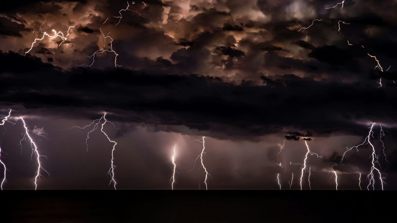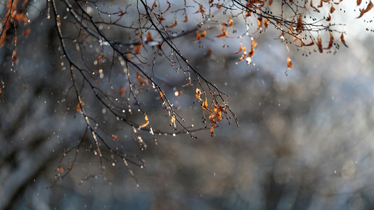
Quad Cities, Iowa–Illinois — A brief taste of mild January air is giving way to a sharper winter turn across the Quad Cities. Low clouds are racing east along the Mississippi River this morning as rain spreads in, darkening roads and setting the stage for colder air, gusty winds, and a weekend snow chance.
Forecasters say today’s warmth is temporary. A passing system brings widespread rain and strengthening south winds, followed by falling temperatures tonight and a more wintry pattern through Sunday.
Rain and Wind Dominate Thursday
Rain becomes widespread later today, with highs climbing into the mid-50s before colder air arrives. South winds gusting near 30 mph will accompany the rain, occasionally reducing visibility during heavier bursts. Travel impacts are most likely along I-80, I-74, and Highway 61, where ponding on roadways may develop.
According to the National Weather Service, rainfall continues into the evening before tapering overnight. While early pavement conditions remain mostly dry, the combination of rain and wind will make for slower travel through the afternoon and early evening hours.
Temperature Drop Tonight Raises Slick Spot Risk
Behind the departing rain, cooler air filters in late tonight. Temperatures slide into the upper 30s, allowing lingering moisture to cool rapidly. Bridges, overpasses, and untreated roads are especially vulnerable to quiet refreezing late tonight and toward daybreak Friday.
Drivers traveling after dark should stay alert for isolated slick patches that may not be immediately visible, particularly in low-lying areas and on elevated road surfaces.
Brief Break Friday Before Winter Returns
Friday brings a short-lived pause. Conditions turn breezy but drier, with partial sunshine and highs near the mid-40s. While road conditions improve during the day, colder air remains close by.
Friday night marks another step down the temperature ladder, setting up a more classic winter feel for the weekend. Overnight cooling primes the region for snow potential and colder mornings.
Snow Chance and Sharper Cold This Weekend
Saturday introduces a chance for light snow, mainly during the daytime hours. At this point, accumulations appear minor, but highs struggle to reach the upper 30s, reinforcing a colder pattern. Even light snowfall can reduce traction, especially during brief heavier bursts.
As skies clear Saturday night, cold air settles in quickly. Lows drop near 19, renewing the risk of refreezing on roads that were wet earlier in the day.
Sunday stays firmly winterlike. Sunshine returns, but highs hover near 31, limiting daytime melting. Any leftover moisture or snowmelt may refreeze again after sunset, keeping early-morning travel tricky across the Quad Cities.
What to Watch and How to Prepare
Residents should plan for changing conditions through the weekend. Key points to keep in mind:
- Allow extra travel time during rain today and tonight.
- Watch closely for slick spots late tonight and again Saturday night into Sunday morning.
- Prepare vehicles for colder starts, including checking tires and windshield fluid.
Five-Day Outlook for the Quad Cities, IA–IL
- Today: Rain likely, windy, high near 56
- Friday: Partly sunny, breezy, high near 46
- Saturday: Chance of snow, colder, high near 37
- Sunday: Mostly sunny, cold, high near 31
- Monday: Sunny and milder, high near 42
Looking Ahead
While January’s warmth fades quickly, the return to winter conditions appears manageable if residents stay weather-aware. Rain today, refreezing risks tonight, and light snow potential Saturday are the main concerns before calmer, colder weather settles in.
Seeing rain change over or icy patches near you? Share your experiences in the comments below.