CHICAGO, IL – Chicago residents are bracing for a turbulent week as a volatile weather pattern brings the dual threats of dangerous storms and intense heat to the region.
Tuesday: Storm Risks and Localized Flooding
Scattered showers and isolated thunderstorms will persist through Tuesday morning, with afternoon temperatures climbing into the upper 80s. The Storm Prediction Center (SPC) has placed the entire Chicago area under a “marginal” risk of severe weather starting Tuesday afternoon into early Wednesday morning.
The primary threats with this initial wave are:
- Heavy rainfall that could trigger localized flash flooding.
- Isolated hail up to an inch in diameter.
Wednesday: Scorching Heat Followed by Severe Threat
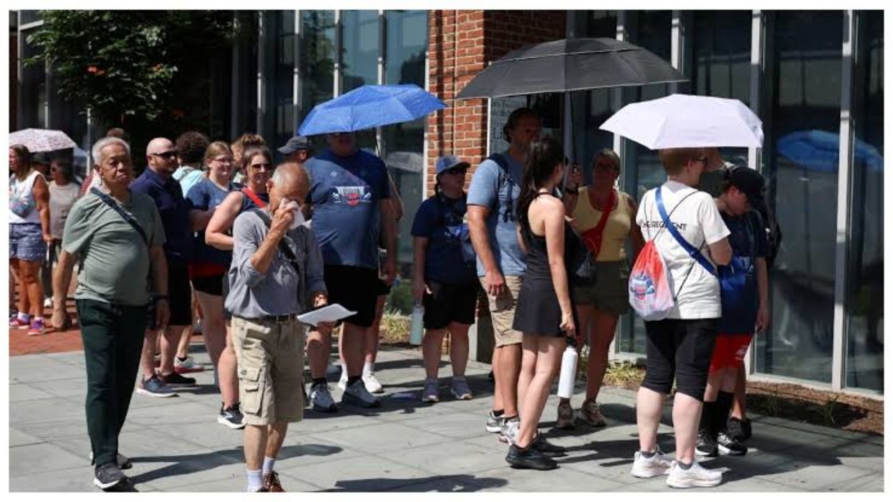
Wednesday will start dry but brings a significant spike in temperature, with highs reaching the low-to-mid 90s. High humidity levels will push heat indices close to 100 degrees by the afternoon.
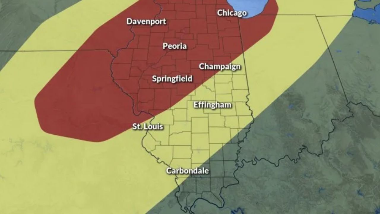
By Wednesday evening, the weather turns dangerous. The SPC has upgraded most of the region to a “slight” risk for severe storms. However, parts of McHenry and DeKalb counties face an even higher “enhanced” risk. This wave of storms brings a threat of damaging winds, large hail, and a non-zero risk of tornadoes.
Thursday: Most Widespread Storm Threat
An approaching cold front on Thursday will trigger the week’s most widespread severe weather event. All areas surrounding Chicago could see severe impacts. Depending on the exact timing of the front, communities could face powerful gusty winds, large hail, torrential downpours, and potential tornado activity.
Weekend Relief
Once Thursday’s cold front clears the area, conditions will stabilize. Temperatures are projected to drop into the 80s for Friday and Saturday, with even cooler weather in the 70s arriving by early next week.
Residents are urged to secure loose outdoor items and keep a close eye on local radar updates throughout the week.