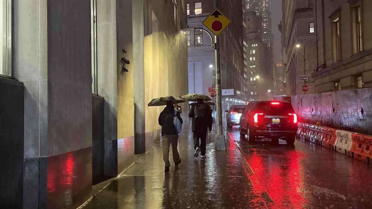
Massachusetts Winter Weather Advisory After a brief break from Tuesday’s snow and ice, Massachusetts residents should prepare for another round of winter weather as snow, sleet, and freezing rain are forecast to move across the state Thursday evening into Friday morning.
The National Weather Service has issued a Winter Weather Advisory in effect from 5 p.m. Thursday until noon Friday for multiple counties across the state.
Counties Under the Winter Weather Advisory
The advisory includes:
- Berkshire County
- Hampden County
- Hampshire County
- Franklin County
- Worcester County
- Middlesex County
- Essex County
- Suffolk County
- Norfolk County
Residents in these areas could see up to 2 inches of combined snow and sleet along with up to one-tenth of an inch of ice accumulation.
Forecasters warn that even minor ice buildup can create hazardous travel conditions.
Slippery Roads and Commute Concerns
According to the advisory, slippery road conditions are likely and may significantly impact:
- Thursday evening commute
- Friday morning commute
Drivers are urged to allow extra travel time, reduce speeds, and use caution on bridges, overpasses, and untreated secondary roads.
Temperature Outlook Across Massachusetts
Wednesday Night
- Eastern & Central Massachusetts: Upper 20s to low 30s
- Western Massachusetts: Low 20s
- Fog possible statewide after 9 p.m.
Thursday
- Morning: Fog and cloudy skies
- Afternoon highs: Upper 30s to low 40s statewide
The initial precipitation is expected to begin between 2 p.m. and 4 p.m. Thursday, starting primarily as rain.
Transition to Wintry Mix Overnight
As temperatures fall Thursday evening into the upper 20s and low 30s, rain is expected to transition to:
- Freezing rain
- Sleet
- Snow
The wintry mix is forecast to taper off by mid-to-late Friday morning, though some freezing mist or drizzle may linger into the afternoon, particularly in inland areas farther from the coast.
Ice Accumulation and Power Outage Risk
Forecasters predict:
- Most of Massachusetts will receive at least a light glaze of ice.
- Higher terrain areas could see one-quarter to one-third of an inch of ice.
- Southeastern Massachusetts is expected to see the least icing.
Even modest ice accumulation increases the risk of:
- Tree damage
- Downed power lines
- Localized power outages
Residents are encouraged to prepare emergency kits and ensure electronic devices are charged in case of outages.
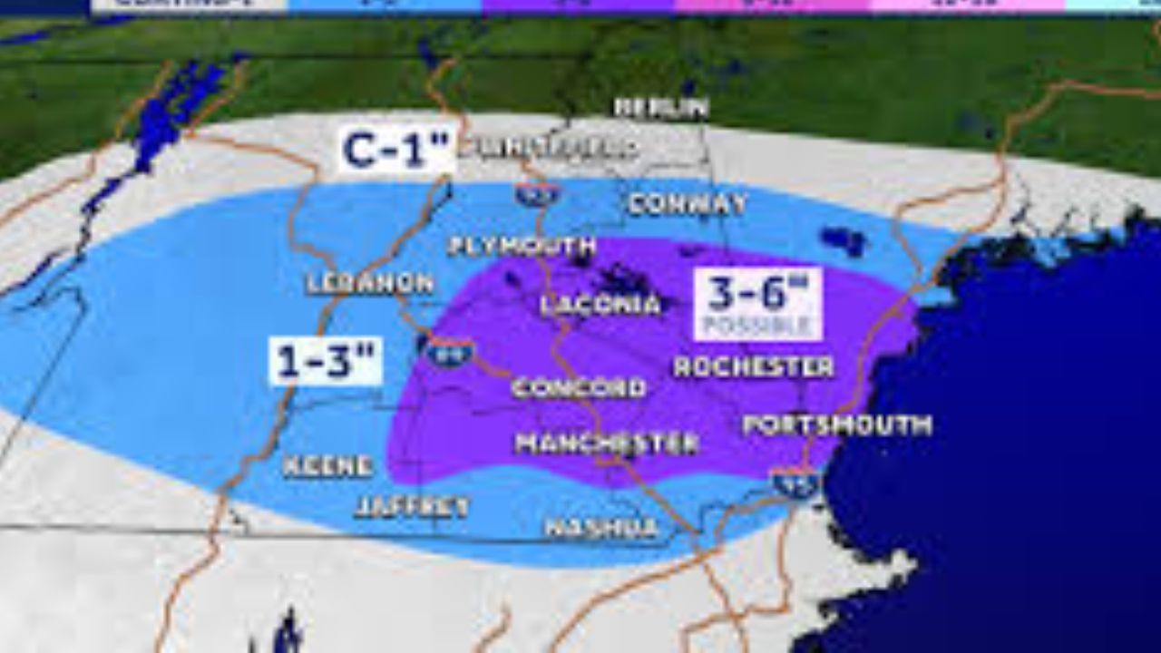
Snowfall Totals
Snow accumulation is expected to remain limited for most areas:
- Most of Massachusetts: Less than 1 inch
- Suffolk and Essex Counties: Up to 2 inches possible
By Friday afternoon, precipitation is expected to end with cloudy skies remaining and temperatures climbing into the mid-30s.
How to Prepare for the Winter Weather
To stay safe during the advisory period:
- Check local forecasts frequently for updates.
- Avoid unnecessary travel during peak icing hours.
- Keep sidewalks and driveways treated with salt or sand.
- Prepare vehicles with emergency supplies.
- Monitor power outage updates from local utility providers.
Conclusion
Massachusetts residents should brace for another round of winter weather Thursday night into Friday, bringing a mix of snow, sleet, and freezing rain. While snowfall totals are expected to remain relatively modest, ice accumulation could create hazardous travel conditions and increase the risk of power disruptions.
Stay informed through official weather updates and take precautions to ensure safety during the advisory period.