Dallas–Fort Worth, Texas — After a brief cooldown, North Texas is heading right back into springlike warmth, with temperatures climbing well above average and dry conditions dominating the forecast through the end of the month.
Meteorologists say the region is poised for several more warm afternoons, potentially pushing this winter into record territory before a possible pattern shift brings rain chances next week.
Warmer Days Could Challenge Winter Record
So far this winter, the Dallas–Fort Worth area has recorded 13 days with temperatures at or above 80 degrees. The standing record is 14 such days, set during the 2016–2017 winter season.
With more warm afternoons ahead, that record is officially in jeopardy.
Forecasters expect above-normal highs to continue across North Texas, reinforcing the early-spring feel across the Metroplex and surrounding counties.
If current trends hold, this winter could tie — or even break — the record for 80-degree days.
Residents may enjoy the sunshine, but the prolonged warmth and lack of rainfall are also contributing to growing concerns.
Elevated Fire Danger Returns
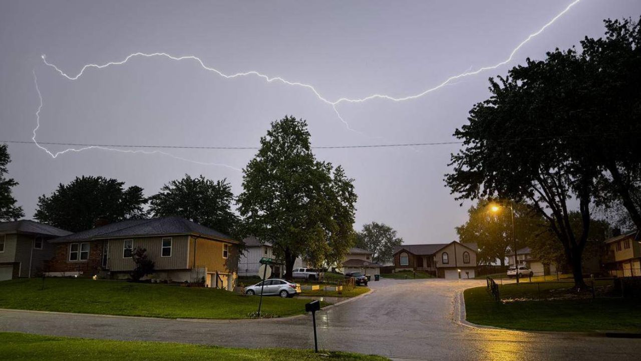
With dry air and gusty winds in the forecast, elevated fire danger is returning to parts of North Texas, especially across western counties where humidity levels are expected to drop the lowest.
Read Also: Outrage Erupts as Snow-Covered SUV Hits Rhode Island Roads Post-Blizzard
Officials are urging residents to use extreme caution with:
- Outdoor burning
- Grilling or open flames
- Equipment that may create sparks
- Discarded cigarettes
Even a small spark can quickly spread under dry and windy conditions.
Fire risk will be highest in areas west of the Metroplex, where humidity values will be particularly low.
While no widespread burn bans have been announced regionwide, conditions will remain favorable for grass fires to ignite and spread rapidly.
Pattern Change Signals Rain Next Week
After an extended stretch of dry weather, forecasters are increasingly confident that a pattern change is developing for next week.
While the exact timing and rainfall totals are still being refined, current models indicate multiple chances for much-needed rain beginning after Election Day.
Right now, the probability of a wetter-than-normal week appears fairly high.
Daily rain chances are expected to begin next weekend and could continue into the following week. Early March may feature several rounds of showers and thunderstorms.
The first week of March looks more active, with opportunities for both rain and possible thunderstorms.
Details about severe weather risk, if any, will become clearer as the system draws closer.
Upcoming Weather Outlook: Dry Now, Wetter Later
The extended forecast shows North Texas staying dry through the remainder of this week, with the dry spell likely lingering into next weekend.
However, by the start of March, the overall weather pattern may shift enough to introduce repeated rain opportunities, potentially helping ease drought concerns and reduce fire risk.
For now, residents can expect sunny skies, warm afternoons and breezy conditions to dominate across the Dallas–Fort Worth area.
Are you enjoying the early taste of spring, or are you ready for some rain in North Texas? Share your thoughts in the comments below.