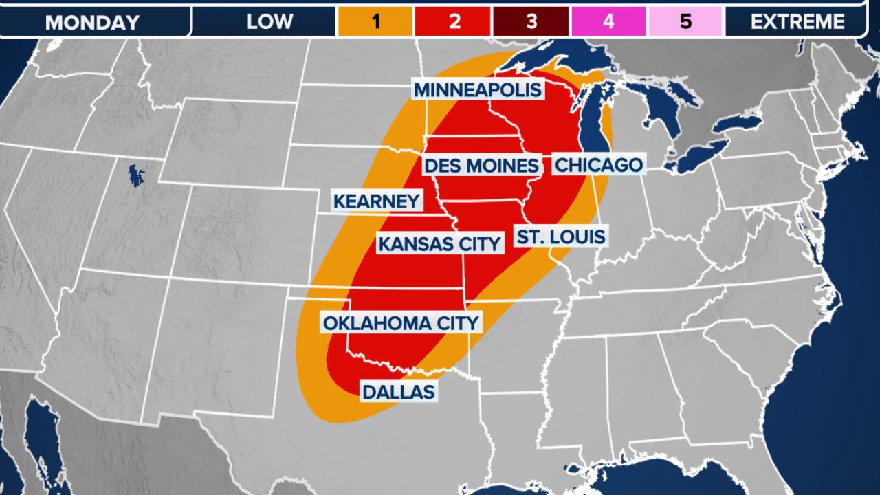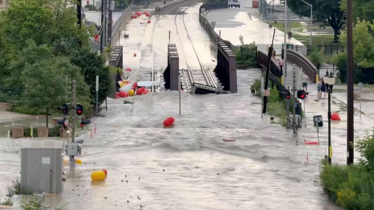
GREEN BAY, WI — Thousands of Wisconsin residents are on high alert today as a powerful wave of severe thunderstorms has left a trail of flooding across the state. The National Weather Service (NWS) in Green Bay has issued extensive flood warnings effective through Tuesday, April 14, warning that heavy rainfall is rapidly turning urban streets into rivers and causing small streams to overflow their banks.
The most critical warnings remain in effect until 7 p.m. Tuesday for northeastern and central Wisconsin. Local authorities are urging residents in the affected zones to stay off the roads and prepare for rising water levels.
Counties Under Immediate Alert
The NWS has identified a broad “Danger Zone” where rainfall has been most intense. If you live in or are traveling through the following counties, extreme caution is advised:
- Northeastern/Central Region: Brown, Calumet, Door, Kewaunee, Manitowoc, Oconto, Outagamie, Shawano, and Waupaca.
- River Systems: Major river basins including the Wisconsin River, Black River, and Wolf River are seeing levels rise well above flood stage.
Specific River Forecasts and Timelines
The flooding is expected to persist for several days in specific areas as runoff from the storms moves through the state’s river systems. Below are the critical locations currently under monitoring:
- Wisconsin River: At Portage (Columbia County), warnings last until Monday afternoon, April 20. Below Castle Rock Dam, warnings remain until late Sunday.
- Black River: Near Galesville (Trempealeau and La Crosse counties), flooding is expected from Wednesday morning through Sunday morning.
- Wolf River: Locations at New London and Shiocton are under warnings until further notice, as water levels remain dangerously high.
- Sheboygan & Manitowoc Rivers: Warnings remain in place through Friday morning for Sheboygan and until further notice for Manitowoc.
The Hidden Dangers of Floodwaters
Local officials are reiterating a life-saving message: “Turn Around, Don’t Drown.” While the water may look shallow, the National Weather Service warns that as little as six inches of fast-moving water can sweep an adult off their feet. Even more concerning, two feet of water is enough to carry away most vehicles, including SUVs and pickup trucks.
Beyond the current of the water, flooding often hides “invisible” hazards. Submerged roads may have collapsed underneath the surface, and floodwaters frequently carry debris, sharp rocks, and downed power lines, creating significant fire and electrocution hazards.
Flood Safety Checklist: What You Need to Do Now
If your area is under a flood warning, emergency management officials recommend the following immediate actions:
- Stay Informed: Keep a battery-operated radio or your smartphone nearby for real-time weather alerts.
- Move to Higher Ground: If you live in a low-lying area or near a creek, do not wait for the water to enter your home before leaving.
- Evacuation: If local authorities advise you to evacuate, do so immediately. Delaying even by an hour can make roads impassable.
- Protect Children: Do not allow children to play near drainage ditches or flowing water.
- Barricades: Never drive around police or fire department barricades. They are there for your protection.
Community Impact and Outlook
As the storm system moves out, the focus shifts to the long-term cresting of the state’s major rivers. Residents in Juneau, Adams, and Wood counties should prepare for rising levels throughout the mid-week as the Yellow and Wisconsin Rivers continue to take on runoff.
Is your neighborhood experiencing flooding? Share your local road conditions and weather photos in the comments below to help keep your neighbors safe.