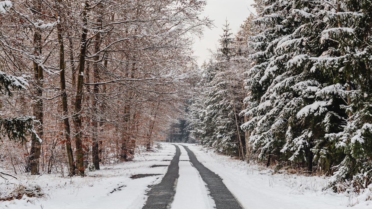
Des Moines, Iowa – Central Iowa starts the day under damp streets and low gray clouds as a mild January weather system moves through the region. Rain is spreading across the metro area this morning, creating slick travel conditions, while a surge of colder air later today sets the stage for a sharp return to winter by the weekend.
Rain and Slick Travel Conditions Today
According to the National Weather Service in Des Moines, rain becomes widespread across central Iowa through the afternoon. Temperatures are expected to climb into the upper 40s, which will keep precipitation mainly liquid during the day.
However, north winds increasing to around 20 mph could reduce visibility during heavier showers. Motorists traveling along I-35, I-80, and major surface roads should be prepared for slick pavement, especially during peak commute hours.
Cold Air Arrives Tonight, Brief Snow Possible
Conditions begin to change after sunset as colder air pushes south into the state. Rain may briefly mix with snow overnight, though forecasters say little to no accumulation is expected at first.
Even without measurable snow, falling temperatures into the mid-30s will allow wet pavement to cool rapidly. Bridges and overpasses are especially vulnerable, and isolated slick spots may develop late tonight into early Friday.
Friday Turns Cooler and Calmer
Friday brings a quieter weather pattern but continues the cooling trend. High temperatures are forecast near 40 degrees, with only spotty precipitation possible. Winds ease compared to Thursday, improving overall travel conditions.
Friday night, however, temperatures drop further, reaching lows near 29 degrees. Any remaining moisture on roads or sidewalks could refreeze overnight, particularly in shaded or low-traffic areas.
Snow Chance Returns Saturday With Sharp Cold
By Saturday, winter conditions reassert themselves across central Iowa. Forecast models show a slight chance of snow, with daytime highs struggling into the mid-30s.
Saturday night marks the coldest stretch of the forecast period, as temperatures plunge to around 18 degrees. Even minor snowfall or daytime melting could refreeze quickly, increasing the risk of slick travel during late-night and early-morning hours.
Cold but Sunny End to the Weekend
Sunday brings a welcome return of sunshine, but little warmth. Afternoon highs are expected to reach only the low 30s, keeping conditions firmly wintry. Clear skies overnight may allow refreezing of any leftover moisture, creating isolated icy patches for early travelers.
Gradual Warm-Up Next Week
Looking ahead, a gradual warming trend develops early next week. Monday is forecast to reach the mid-40s under mostly sunny skies, though mornings will remain cold and frosty.
Five-Day Outlook for Des Moines
- Thursday: Rain likely, breezy, high near 47
- Friday: Slight rain or snow chance, high near 40
- Saturday: Slight chance of snow, colder, high near 34
- Sunday: Sunny and cold, high near 31
- Monday: Mostly sunny, milder, high near 46
Travel and Safety Reminder
Drivers should slow down on wet roads today, stay alert for changing conditions tonight, and prepare vehicles for winter driving ahead of the weekend cold snap.
Seeing slick spots, refreezing, or early snowflakes where you live? Share what conditions look like around Des Moines.