Fort Wayne, Indiana – A rapid weather shift is unfolding across northeast Indiana, bringing wet roads today, followed by a sharp cool-down, a freeze risk, and a chance of snow by the weekend. Drivers and residents should prepare for changing conditions as mild air gives way to winter once again.
Weather Pattern Shifts Across Northern Indiana
Early Wednesday starts on a damp note, with low clouds and wet pavement already in place across Fort Wayne and surrounding communities. This is the leading edge of a fast-moving system that will briefly push temperatures well above normal before colder air returns.
Forecasters with the National Weather Service report that temperatures will surge into the mid to upper 50s today and Friday, which is well above average for early January. While the warmth may feel welcome, it comes with unsettled weather that will affect travel and outdoor plans.
Rain and Wind Create Slick Travel Conditions
Rain develops later today and becomes steadier overnight, continuing into Friday. Periods of moderate rainfall, combined with gusty winds exceeding 30 mph, may reduce visibility and create slick road conditions.
Drivers along I-69, US-30, and major city arterials in Fort Wayne should be alert, especially during the Thursday night and Friday morning commute. While widespread flooding is not expected, brief ponding in low-lying areas and on poorly drained streets remains possible.
Officials stress that even light rain can become hazardous when combined with wind and traffic, particularly during darker hours.
Friday Brings Transition, Not Relief
Rain continues into Friday, tapering off later in the day as winds shift direction. Although severe storms are not anticipated, the weather remains unsettled, and roads may stay damp into the evening hours.
As the rain ends, a noticeable temperature drop begins. Cooler air filtering in from the northwest sets the stage for a more wintry weekend across northern Indiana.
Saturday: Turning Colder With Rain Changing Over
Saturday marks the beginning of the bigger change. Rain redevelops during the day, but temperatures struggle to rise, hovering in the low 40s. The atmosphere continues cooling through the afternoon and evening.
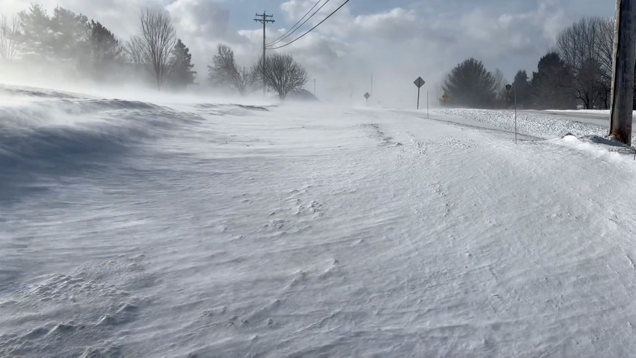
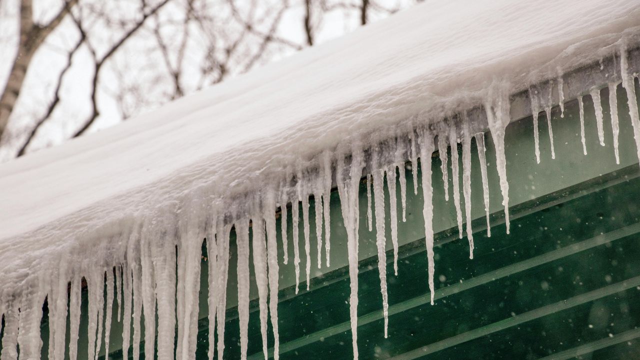
By Saturday night, colder air deepens enough that rain may mix with snow, eventually changing over as temperatures fall into the lower 20s. This creates a flash-freeze risk, especially on bridges, overpasses, and untreated roads.
Motorists traveling late Saturday night or early Sunday should be especially cautious, as wet surfaces may freeze quickly after sunset.
Sunday Brings Snow Chance and Wintry Feel
Sunday looks firmly wintry across Fort Wayne and surrounding areas. Snow chances increase during the day, with highs near 31 degrees. Even light snow accumulations could impact travel, particularly during morning and evening hours when roads are colder.
Winds remain brisk, adding an extra chill and making temperatures feel colder than the thermometer indicates. While this does not appear to be a major snowstorm at this time, minor accumulations can still cause significant slowdowns, especially following the overnight freeze.
Early Next Week: Cold but Quieter
Conditions improve early next week as the system moves out. Sunshine returns Monday, but temperatures remain on the cold side, with highs in the upper 30s and frosty mornings.
Forecasters note that additional weather systems remain possible as winter settles back into place across Indiana, so residents should continue monitoring updates.
Travel and Safety Reminder
With wet roads today, followed by freezing temperatures and snow, officials recommend slowing down, allowing extra braking distance, and keeping winter driving supplies in vehicles this weekend. Pay close attention to shaded roads, bridges, and overpasses, where ice forms first.
Five-Day Outlook for Fort Wayne, Indiana
- Today: Mostly cloudy, rain developing late, high near 56
- Friday: Rain likely, breezy, high near 59
- Saturday: Rain, turning colder, high near 43
- Sunday: Chance of snow, colder, high near 31
- Monday: Mostly sunny, chilly, high near 37
As conditions evolve, residents are encouraged to stay weather-aware and plan travel accordingly. Seeing rain turn to snow or icy patches near you? Share what conditions look like in your area in the comments below.