Syracuse, New York – A developing winter storm is set to bring heavy snow, icy roads, and hazardous travel conditions across much of central New York starting Wednesday night and lasting into early Friday morning. Forecasters warn that a rain-to-snow transition combined with falling temperatures could quickly create dangerous driving conditions across the region.
Incident Overview
A Winter Weather Advisory has been issued for large portions of central New York and parts of northeast Pennsylvania as a multi-day winter system moves through the area. Rainfall expected Wednesday evening will transition to snow overnight as temperatures drop below freezing, allowing ice to form rapidly on untreated roadways.
According to the National Weather Service, snowfall totals will vary by location, but several counties could see significant accumulation before the system tapers off Friday morning.
Timeline of Weather Events
The storm is expected to unfold in stages, increasing the risk of travel disruptions:
Wednesday evening: Rain spreads across the region, keeping roads wet but passable.
Late Wednesday night: Rain changes to snow as colder air moves in, causing wet pavement to freeze.
Thursday morning: Snowfall intensifies, creating hazardous conditions for the morning commute.
Thursday afternoon: The initial system weakens, but road conditions remain slick.
Thursday night into early Friday: Lake effect snow bands develop, adding new accumulations, especially north of the Finger Lakes.
Forecasters note that snowfall may be heavy at times overnight Wednesday, increasing the likelihood of rapid accumulation.
Expected Snowfall Totals by Region
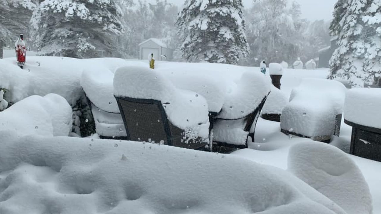
In and around Syracuse, including Onondaga, Madison, Oneida, and southern Cayuga counties, total snowfall of 4 to 7 inches is expected from Wednesday night through Friday morning.
Farther south, communities including Binghamton, Ithaca, Cortland, Elmira, Corning, Watkins Glen, Norwich, and Owego can expect 3 to 6 inches of snow through Thursday afternoon.
In Bradford and Susquehanna counties in Pennsylvania, similar snowfall totals are forecast, with slippery road conditions likely during peak travel hours.
Details From Forecasters
Meteorologists emphasize that the rain-to-snow transition is one of the most dangerous aspects of this system, as it allows ice to form beneath fresh snowfall.
“Snow may fall heavily at times overnight, and wet pavement could freeze quickly as temperatures drop,” forecasters said, noting that travel conditions may deteriorate rapidly across the advisory area.
Additional forecast details are outlined in the latest National Weather Service winter weather outlook, which highlights the increased risk of ice and snow-covered roads during commute hours.
Lake Effect Snow Adds to the Threat
Even after the primary storm system exits Thursday afternoon, the threat is not over. Lake effect snow is expected to develop late Thursday, particularly north of the Finger Lakes, where bands of snow may linger into early Friday morning.
These lake effect bands can be unpredictable, producing localized areas of higher snowfall totals and reduced visibility over short distances.
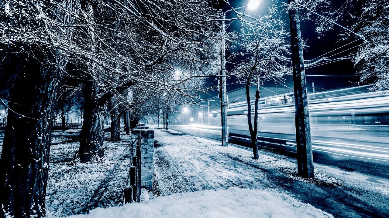
Travel and Safety Concerns
Transportation officials urge residents to use extreme caution if travel is necessary. Difficult travel is expected during both the Thursday morning and evening commutes, with conditions improving only after snowfall tapers Friday.
Drivers are advised to:
- Reduce speed and increase following distance
- Allow extra travel time
- Carry winter emergency supplies
- Avoid sudden braking on icy roads
Pedestrians should also be cautious, as sidewalks and parking lots may become slick overnight.
Conclusion
With up to 7 inches of snow, falling temperatures, and lingering lake effect bands, this winter system has the potential to significantly impact daily travel across central New York and nearby Pennsylvania counties. Conditions are expected to remain hazardous until snowfall gradually tapers early Friday morning.
Residents are encouraged to stay informed, adjust travel plans when possible, and prioritize safety as winter weather intensifies.
If you’re in an affected area, prepare now and check road conditions before heading out. Share your experiences in the comments below.