Schenectady, NY – Dry and seasonable conditions are expected across eastern New York through Friday afternoon, but snow shower chances will increase later tonight, potentially affecting travel near I-890 and surrounding highways.
Residents across the Capital Region can expect a quiet daytime period with partly sunny skies and temperatures typical for mid-February. However, forecasters say a weak system moving in from the west could bring scattered snow showers after sunset, creating slick spots overnight.
Dry and Seasonable Friday Across Eastern New York
Friday’s weather will remain calm and relatively comfortable for this time of year. Afternoon highs are projected to reach the mid-30s north of I-90, while areas farther south — including portions of the Hudson Valley — may approach 40 degrees.
Communities such as Albany, Schenectady, Glens Falls, Pittsfield, and Poughkeepsie are expected to stay precipitation-free during daylight hours. Skies will range from partly sunny to mostly cloudy at times, but no significant weather hazards are anticipated before evening.
For commuters, the daytime hours will provide the best window for smooth travel, errands, and outdoor plans.
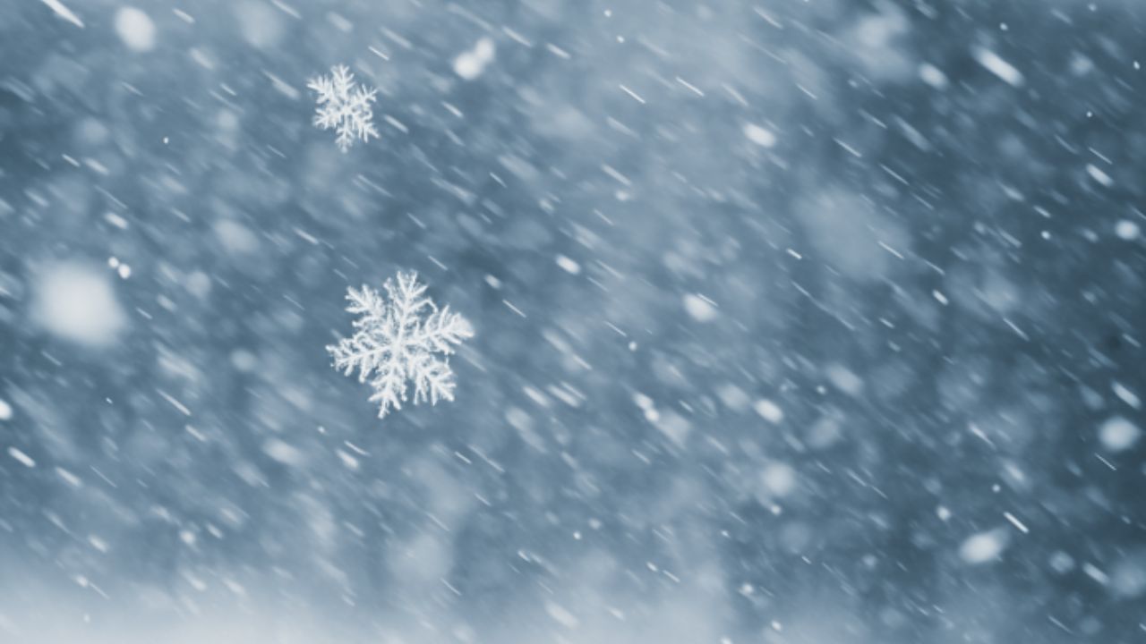
Snow Shower Chances Increase After Sunset
Conditions are expected to change later in the evening as a weather system approaches from the west. While widespread heavy snowfall is not forecast, scattered snow showers may develop across eastern New York and western New England.
The snow is expected to be light and intermittent, but even minor accumulation can create slick patches on untreated roads, bridges, and overpasses. As temperatures drop into the teens and 20s overnight, any moisture left on roadways could freeze, increasing the risk of icy spots.
Drivers in and around Schenectady, particularly near I-890, should remain alert late Friday night and into early Saturday morning.
Highways to Monitor Overnight
Motorists traveling along major routes including I-87 (Northway), I-90 (New York State Thruway), I-88, US-9, and US-7 should monitor changing conditions after dark.
Key travel concerns include:
- Brief reductions in visibility during snow showers
- Light accumulations on secondary roads
- Black ice formation as temperatures fall
- Slippery conditions on ramps and elevated roadways
Although the system is not expected to produce significant snowfall totals, timing may coincide with late-night travel and early Saturday departures, increasing the importance of caution.
Friday the 13th Brings Quiet Daytime Weather
Despite the date, no major daytime weather hazards are expected. Forecasters emphasize that Friday afternoon will remain uneventful, with comfortable winter temperatures and manageable conditions across the region.
The primary concern remains the period after sunset, when snow shower chances rise and colder air settles in.
Travel Outlook and Safety Tips
Those with evening plans are encouraged to complete travel before nightfall if possible. If driving later tonight:
- Reduce speed on potentially slick roads
- Increase following distance
- Watch for icy patches on bridges and shaded areas
- Allow extra time for overnight or early-morning travel
Overall, the Capital Region will see a mostly calm winter day followed by a modest increase in snow shower activity overnight. Staying aware of conditions and planning ahead will help ensure safe travel as temperatures drop and light snow moves through the area.