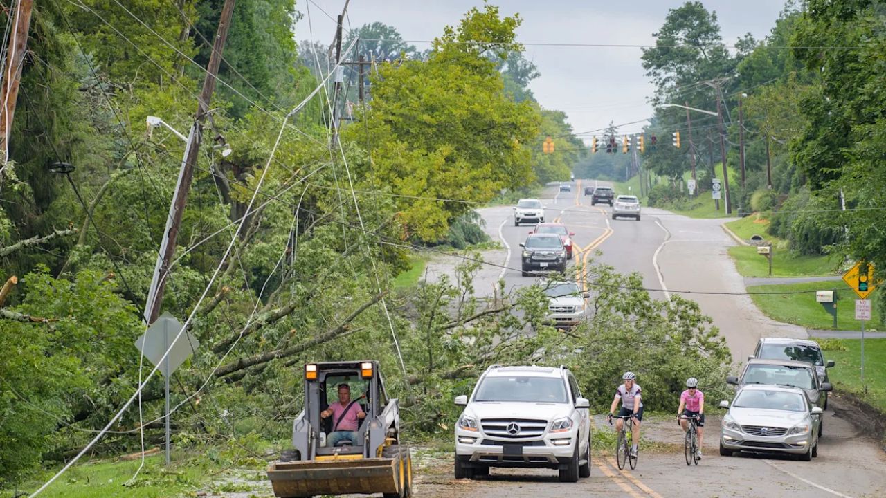
Wisconsin – Water levels are running high along rivers and creeks in and around Green Bay this morning, raising concerns about localized flooding as another round of rain moves in later today. With already saturated ground and swollen waterways, even moderate rainfall could keep levels elevated and cause minor overflows in vulnerable spots.
Forecasters indicate that several rivers in the region remain above bankfull, meaning water is spilling beyond normal boundaries in some low-lying areas. Additional rainfall this afternoon and evening — with precipitation chances near 60% — may prolong high flows and increase the risk of standing water near roads, parks, and neighborhoods close to streams.
Patchy fog is also expected to develop at times, potentially reducing visibility for drivers during the evening commute. Motorists should be alert for water pooling on roadways, especially near bridges, underpasses, and rural low crossings. It only takes a small amount of moving water to create dangerous driving conditions.
Areas to Watch
Communities including Green Bay, De Pere, and surrounding Brown County locations should remain cautious near rivers and creeks. Residents living in flood-prone zones may notice:
- Water creeping closer to yards and walkways
- Minor overflow into ditches and drainage areas
- Slower-moving but elevated river currents
Officials advise avoiding walking or driving through flooded areas and staying clear of riverbanks where soil may be unstable.
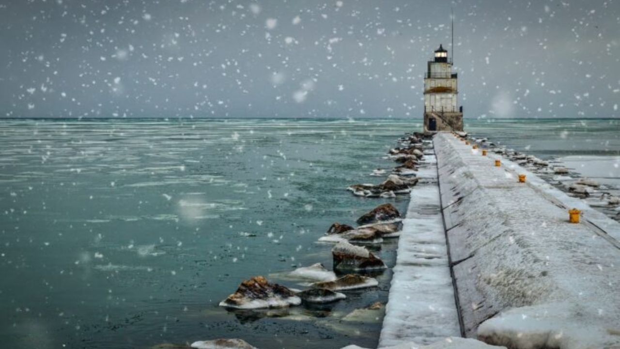
Colder Air Brings a Friday Shift
Rain chances gradually taper off late tonight, but a noticeable drop in temperatures follows. Friday will feel much cooler, with highs only reaching the upper 30s. As colder air filters in during the afternoon, a brief period of snow showers may develop.
Accumulation appears minimal at this time, but the transition from rain to snow signals a sharp change in air mass. Even light snowfall combined with wet ground could create slick patches.
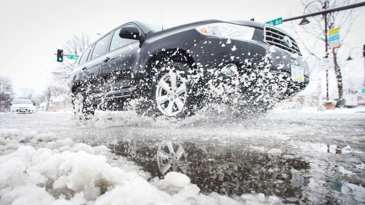
Refreeze Risk Friday Night
Temperatures are expected to dip to around 22°F by late Friday night. Any lingering moisture on roads, sidewalks, and bridges may refreeze, creating icy conditions early Saturday morning. Drivers heading out before sunrise should allow extra travel time and watch for black ice, especially in shaded areas.
Weekend Outlook: Gradual Improvement
Conditions improve over the weekend with increasing sunshine. Saturday looks mostly sunny with highs in the low 40s, offering a calmer break after the unsettled weather. Sunday brings a milder push, with temperatures climbing into the upper 50s — a noticeable warm-up compared to Friday’s chill.
Early next week remains seasonable, though additional rain chances could return, potentially keeping rivers elevated for several more days.
Stay Alert
Even after rainfall ends, river levels may take time to recede. Residents are encouraged to monitor local conditions, secure outdoor belongings near waterways, and stay informed about any advisories.
Have you noticed higher water levels or standing water in your neighborhood today?