Binghamton, NY – After a mild and comfortable start to the day with temperatures climbing into the 60s and even low 70s, weather conditions across Central New York and Northeast Pennsylvania are set to take a sharp turn. A passing cold front will bring periods of steady rain and the potential for isolated flooding later today and into the evening.
Clouds will continue to thicken through the afternoon, with rain developing from west to east. Most areas, including Binghamton, Syracuse, Ithaca, Elmira, and Scranton, can expect rainfall totals between half an inch and one inch. However, some localized spots could see slightly higher amounts where heavier downpours persist for a longer period.
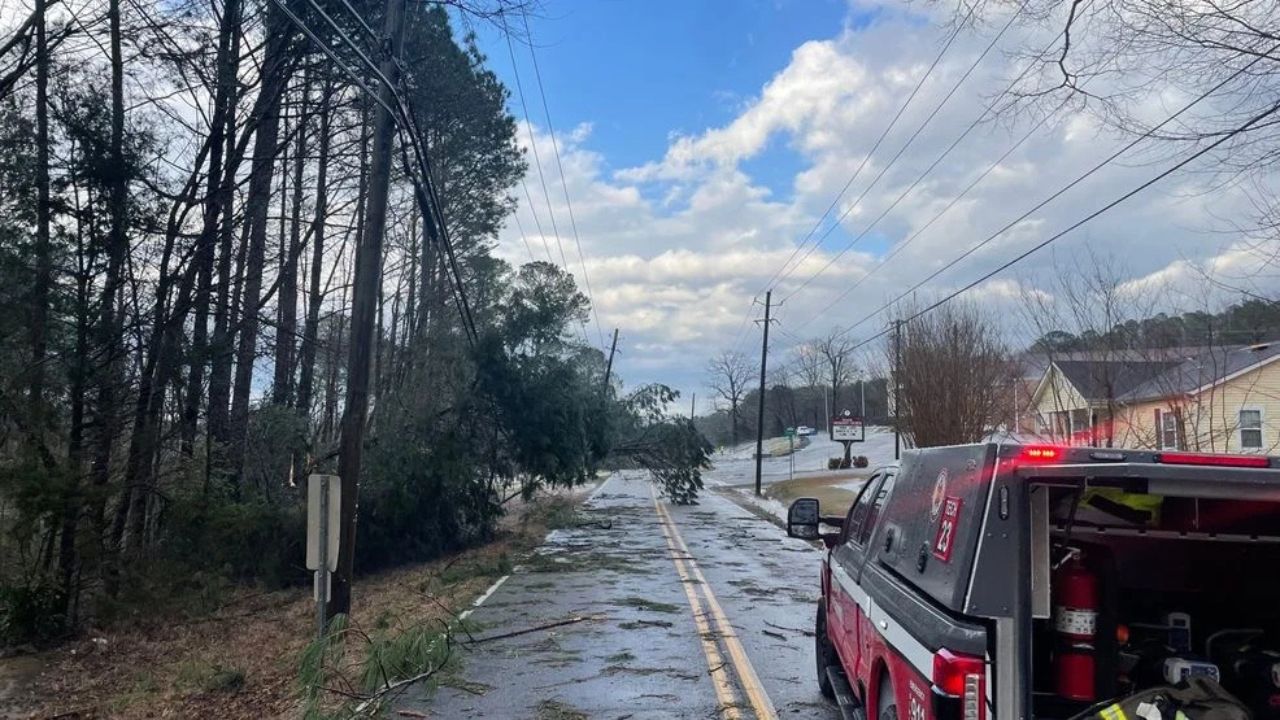
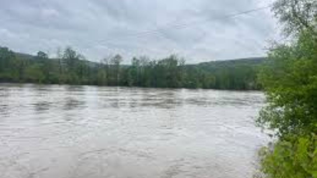
While widespread flooding is not anticipated, the region faces a marginal risk for flash flooding. This means isolated flooding issues may develop, particularly in low-lying areas, urban locations with poor drainage, and near small streams or creeks. Short bursts of intense rainfall could overwhelm storm drains and create temporary water buildup on roads.
Temperatures will likely reach their highest points earlier in the day before gradually dropping as the cold front moves through. Breezy conditions may accompany the front, adding to the unsettled feel by late afternoon.
The evening commute could be impacted by reduced visibility, slick roadways, and ponding water. Drivers are urged to slow down during heavy rainfall, allow extra travel time, and avoid driving through water-covered roads whenever possible.
Residents across Broome County, the Southern Tier, and surrounding parts of Central New York and Northeast Pennsylvania should remain weather-aware throughout the day. Keep an eye on changing conditions, especially if you live in flood-prone areas or near waterways. Conditions are expected to gradually improve overnight as the rain tapers off and cooler air settles into the region.
Stay alert, use caution when traveling, and be prepared for rapidly changing weather conditions as this system moves through.