ROCHESTER, N.Y. — Residents in the Rochester region are buckling up for a weather “rollercoaster” this week. After a cold front brought a fresh batch of showers on Friday, the area is waking up to a much cooler, cloudier start to the weekend. However, meteorologists are already tracking a significant “ridge” of high pressure that is set to bring a dramatic warming trend—and potential thunderstorms—to Western New York by Monday.
The Weekend Breakdown: A Tale of Two Days
If you have outdoor plans, timing will be everything this weekend.
Saturday: The “Crisp” Dry Day The weekend begins with a lingering chill as the cold front pushes south. Saturday morning starts off mostly cloudy with temperatures hovering in the 30s. Fortunately, a large area of high pressure is building in quickly. By the afternoon, the clouds will clear, giving way to plenty of blue sky and sunshine. Despite the sun, it will remain cooler than average, with afternoon highs struggling to reach the upper 40s.
Sunday: Warmer, But Wetter Sunday will technically be the warmer day of the weekend, but it may not be the “nicest.” A warm front is expected to lift through the region during the afternoon hours, bringing with it the next batch of showers. Temperatures won’t truly rebound until the front fully passes in the late evening, at which point we could see the mercury climb back into the 50s and even lower 60s.
The Forecast “Green” Threat: Looking Ahead to Next Week
The real story begins on Monday. A massive atmospheric ridge is building over the Great Lakes and the Northeast, which is set to deliver sustained spring warmth.
Highs in the 60s and 70s: Much of next week will feature temperatures well above the seasonal average. Many locals will finally be able to get back to outdoor gardening, hiking, and patio dining as the region basks in the 70-degree glow.
However, this warmth comes with a catch. The transition into spring heat often triggers unstable weather patterns. The current forecast includes:
- Rounds of Showers: Multiple days of rain are expected throughout the week.
- Thunderstorm Potential: With the heat comes the risk of storms.
The Threat Tracker: Why You Should Stay Alert
Currently, the region is listed as “Green” on the Threat Tracker, meaning there is no immediate danger. However, weather experts are closely monitoring the intensity of the incoming storms.
“We’ll be monitoring the intensity of any storms next week. If it looks like we could see some stronger storms, we’d issue a Yellow Alert,” officials stated.
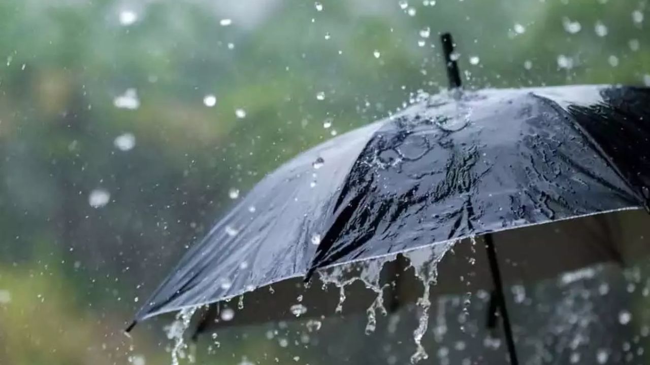
As outdoor activities pick up, a Yellow Alert would serve as a crucial warning for those on the golf courses, parks, or lakefront. Residents are encouraged to keep their umbrellas handy and stay tuned for updates as the “Spring Surge” officially arrives.
Are you ready for the 70-degree weather, or do you prefer the crisp April chill? How are you planning to spend the first warm week of the season? Let us know in the comments below!