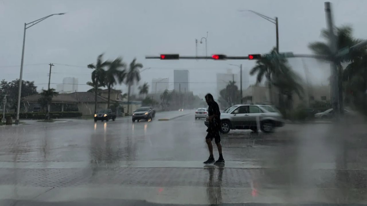
SOUTH FLORIDA — A relentless two-day barrage of “squally tempests” has left Florida’s east coast reeling, as a late-season cold front collided with tropical moisture to trigger widespread flooding, uprooted trees, and even a tornado in Miami-Dade County.
From April 7 to April 8, the slow-moving storm system pinned down affluent island towns and transformed busy thoroughfares into rivers. The National Weather Service (NWS) reported that the storms far exceeded initial forecasts of 2 to 4 inches in several key areas.
Record-Breaking Rainfall Totals
West Palm Beach took the hardest hit, according to official NWS monitoring stations. Palm Beach International Airport recorded a staggering 5.87 inches of rain over the two-day period. This marks the city’s highest rainfall total since June 2022.
Other notable rain totals across the state included:
- Miami International Airport: 4.06 inches
- Vero Beach International Airport: 3.15 inches
- Melbourne International Airport: 2.00 inches
- Tampa Bay Area: 1.52 inches
- Fort Lauderdale: 1.32 inches
Outside of airports, local gauges near Clewiston and Fort Pierce measured single-day totals nearly reaching 4.5 inches, straining the South Florida Water Management District’s drainage systems.
Chaos on the Roads: Manholes Floating and Potholes Deepening
The storm’s timing proved disastrous for commuters, hitting just before the Wednesday evening rush hour. In Riviera Beach, the intensity of the second wave of storms caught many off guard.
“We were able to keep a handle on it, but it was heavy,” said Mike Jachles, Public Information Officer for the City of Riviera Beach. “You see people just cruising through flooded roads… you can’t judge how deep the water is.”
The damage in Riviera Beach was particularly vivid:
- Floating Manhole Covers: Riviera Beach PD reported manhole covers being lifted off by water pressure along President Barack Obama Highway.
- Infrastructure Damage: One pothole grew so deep during the deluge that city workers had to use 15 bags of patch just to keep the road passable.
- Uprooted Trees: High winds and saturated soil uprooted palm trees on Singer Island and knocked out several major traffic lights.
A “Hit and Run” Storm System
Meteorologists described the event as a “hit and run” system stoked by a late-season cold front that refused to budge. The combination of high winds and “juicy” moisture levels created “squally” conditions that felt more like a tropical disturbance than a standard spring front.
In addition to the rain, the atmospheric instability was enough to spin up at least one tornado in Miami-Dade County, though no major injuries have been reported as of Thursday morning.
Safety Warning for Residents
As water begins to recede, officials are urging residents to remain cautious. Flooded roadways remain a primary concern, as hidden debris or eroded pavement can lead to deadly accidents.
“There have been deadly consequences from [driving through floods],” Jachles warned. “Turn around, don’t drown” remains the standing advice for Florida drivers dealing with the aftermath.
How did the storm affect your neighborhood? Did you witness flooding or wind damage in your area? Share your photos and updates in the comments below.