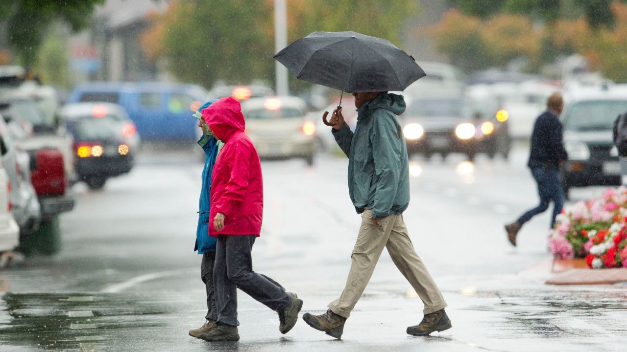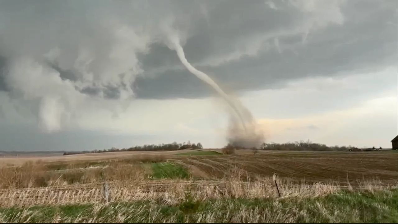
INDIANAPOLIS, IN — After a week of relentless “pounding” across the Plains and Midwest, the central U.S. is bracing for one final day of severe weather this Saturday. The update comes as the region tallies the damage from over 750 severe weather reports since Monday, including nearly 50 tornadoes that have leveled homes and flipped semi-trucks.
While the worst of the “tornado parade” has devastated states like Minnesota, Wisconsin, and Iowa, the focus is now shifting toward the eastern Great Lakes and Ohio Valley, including the Hoosier State.
Minnesota and Wisconsin Under Fire
The latest round of storms on Friday left a trail of destruction in the North:
- Tornado Strikes: A confirmed tornado flipped a semi-tractor near Elgin, Minnesota, and tore through two farmsteads. Another twister caused significant structural damage to homes in Marion (Rochester area).
- Historic Hail: Residents in Madison, Wisconsin, reported softball-sized hail (4 inches in diameter)—a phenomenon that hasn’t occurred in the area since 1960. The ice pelted Dane County, damaging over 1,700 vehicles and shattering siding.
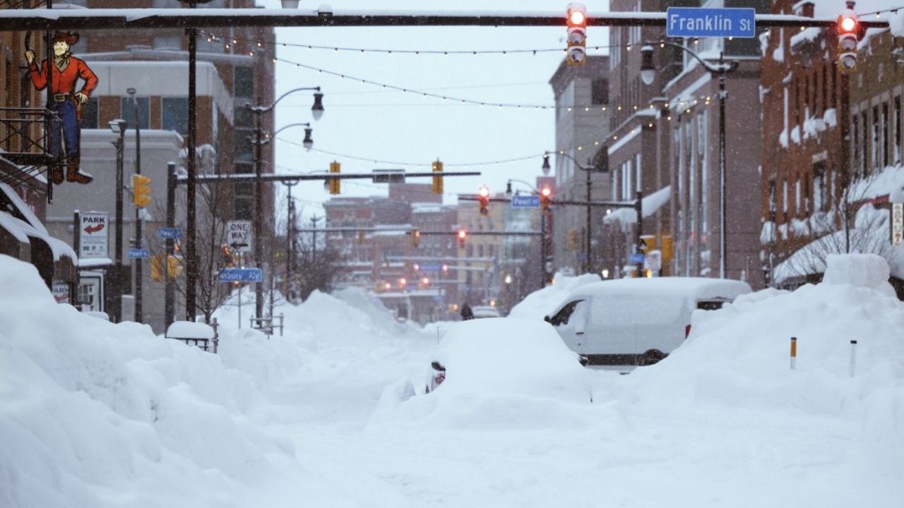
- Record-Breaking Floods: In Michigan, the Manistee River smashed its previous all-time record crest by over 2 feet. Gaylord, Michigan, has already recorded over 14 inches of rain this spring, breaking a record dating back to the Great Depression.
The Forecast: What to Expect Saturday
As the storm system pushes east, the primary threat is transitioning from tornadoes to damaging straight-line winds.
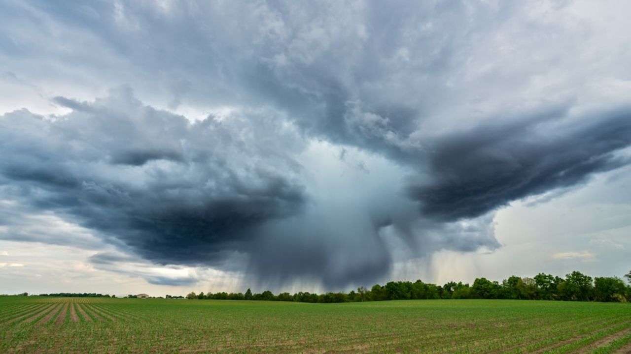
Meteorologists warn that a squall line—a long chain of intense thunderstorms—is likely to form overnight. These winds are capable of knocking down mature trees and power lines, with the potential for “embedded” tornadoes within the line.
Severe Threat Areas: The Southern Great Lakes, the Ozarks, and the Ohio Valley. Main Hazards: 60-80 mph wind gusts, quarter-sized hail, and flash flooding in urban areas.
Why the “Severe Parade”?
Experts say a “perfect storm” of atmospheric conditions is to blame. A high-pressure system sitting over the East Coast is acting like a pump, pulling moisture from the Gulf of Mexico deep into the Midwest. Simultaneously, the jet stream is plunging southward, creating a “trough” that acts as a spark for these violent storms.
Because the high-pressure system is stationary, the storms are hitting the same saturated ground day after day, leading to the current flash flood emergency in Milwaukee and northern Michigan.
The Light at the End of the Tunnel
There is good news for weary residents: once this cold front sweeps off the East Coast on Sunday, the nation is expected to get at least a three-day break from severe weather.
Are you in the path of the storm? Have you seen hail or wind damage in your neighborhood? Share your photos and weather updates in the comments below to help keep your neighbors informed!