Amarillo, Texas — Severe weather concerns are once again growing across parts of Texas as meteorologists warn that thunderstorms capable of producing hail, damaging winds, and isolated tornadoes could develop ahead of an incoming cold front.
The National Weather Service (NWS) says the greatest concern Wednesday will focus on the Texas Panhandle, where isolated but potentially dangerous storms are expected to develop during the evening hours.
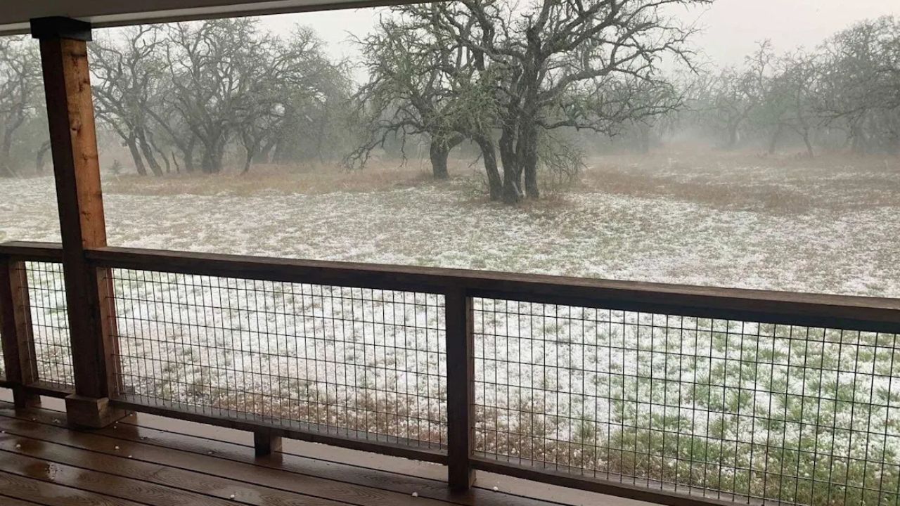
Severe Storm Threat Returns to Texas
According to forecasters, the first storms could begin developing as early as 5 p.m., with the highest likelihood for severe weather occurring between 6 p.m. and 10 p.m.
The NWS has urged residents to prepare in advance and ensure they have multiple ways to receive weather alerts and warnings.
Communities including Amarillo, Claude, Borger, and Pampa could see severe weather impacts if storms strengthen quickly.
Forecasters warn that conditions may support:
- Nickel-sized hail
- Wind gusts up to 70 mph
- Dangerous lightning
- Localized travel hazards
- Possible isolated tornado activity
While meteorologists describe the tornado risk as “very low,” they emphasized that it cannot be ruled out completely.
Storms Expected to Be Isolated but Dangerous
Current forecast models indicate the storms are likely to remain isolated rather than widespread. However, even isolated storms can produce significant damage if they become severe.
Strong wind gusts could damage trees, power lines, and weaker structures, while hail may create hazardous driving conditions and damage vehicles.
Officials are also warning motorists to exercise caution if storms move through during the evening commute, as roads could quickly become slick and visibility may drop sharply during heavy rain.
Record Heat Adds to Weather Concerns
Before storms arrive, parts of the region are expected to experience unusually hot temperatures for May.
Forecasters say Amarillo could reach 96 degrees, potentially making it the hottest May 13 recorded there since 1960.
Other cities are also expected to see intense heat, including:
- Dalhart near 92 degrees
- Borger near 98 degrees
The National Weather Service reminded residents to stay hydrated and avoid prolonged outdoor exposure during peak heat hours.
“If you are outside today, remember to drink plenty of water and, if possible, take frequent breaks in shade or air conditioning to cool off,” the NWS said.
Additional Storm Risks Continue Thursday
The threat for severe weather is expected to continue into Thursday, May 14, with forecasters warning that wind hazards could become even more significant.
Northern Lights Alert Upgraded: 20 U.S. States Could See Aurora Tonight
The NWS says wind gusts on Thursday could potentially reach 75 mph, making damaging straight-line winds the primary concern.
Residents across the Panhandle are being encouraged to closely monitor forecasts over the next two days as conditions may change rapidly depending on storm development.
Cold Front Expected to Bring Cooler Air
Weather conditions are expected to shift again early next week as a cold front moves southward across the Plains.
Forecasters say it is still too early to determine exactly how much temperatures may fall or when the front will arrive in specific areas. However, cooler air is expected to provide at least temporary relief from the recent heat.
Current projections suggest Amarillo could see temperatures around 55 degrees overnight with daytime highs near 92 degrees by Monday, May 18.
Until then, Texas residents may face a volatile mix of dangerous heat, severe storms, and powerful winds as the active weather pattern continues.
Are severe storms expected in your area this week? Share your thoughts and weather updates in the comments below.