STATE COLLEGE, PA – The ongoing spring temperature roller coaster is set to continue through the upcoming holiday weekend, bringing a sharp cooldown, persistent rain, and unseasonably chilly conditions across the region.
Heat Wave Swept Away By Canadian Air
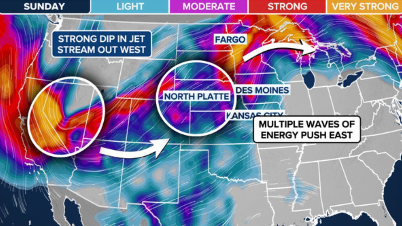
The most extreme and longest-lasting heat wave of the year so far is officially coming to an end. Cooler, less humid air moving in from Canada and the Midwest will completely displace the hot conditions by the second half of this week.
According to meteorologists, the temperature swing will be dramatic. For example, in State College, temperatures that hit 90°F on Monday will drop to the 70s on Wednesday, the 60s on Thursday and Friday, and could hover near 50°F on Saturday depending on rainfall.
Impact On Holiday Plans and Health
The sudden shift is expected to impact holiday weekend activities:
- Pool Closures: Pools that opened early ahead of Memorial Day are likely to sit unused as chilly air settles in.
- Health Warnings: Experts warn that the sudden drop can take a toll on individuals sensitive to cold weather, particularly those dealing with arthritis or muscle issues. Long sleeves and jackets will be necessary for outdoor plans.
Agricultural Outlook
This persistent pattern of major temperature swings has already disrupted local agriculture, moving from record heat to hard freezes. Fortunately, most local farmers will not have to worry about frosts or freezes during this specific stretch, with nighttime lows forecast to stay between the upper 30s and upper 50s.
Rain To Disrupt Outdoor Activities
In addition to the drop in temperature, rain and drizzle are forecast to overspread the area late this week. While the rainfall will provide much-needed relief to local drought conditions, residents planning outdoor Memorial Day gatherings are strongly urged to have an indoor backup option ready.