Dallas-Fort Worth, Texas — After several days of sunshine and rising temperatures, North Texas is expected to transition back into a more active weather pattern as the first week of June gets underway.
Forecasters say residents across the Dallas-Fort Worth Metroplex should prepare for a combination of heat, humidity and scattered afternoon thunderstorms, with rain chances increasing throughout the week.
Warm and Mostly Sunny Conditions Continue Tuesday
Tuesday is expected to start with plenty of sunshine across North Texas, helping temperatures climb once again during the afternoon hours.
However, weather conditions are expected to change later in the day as additional cloud cover begins developing across the region.
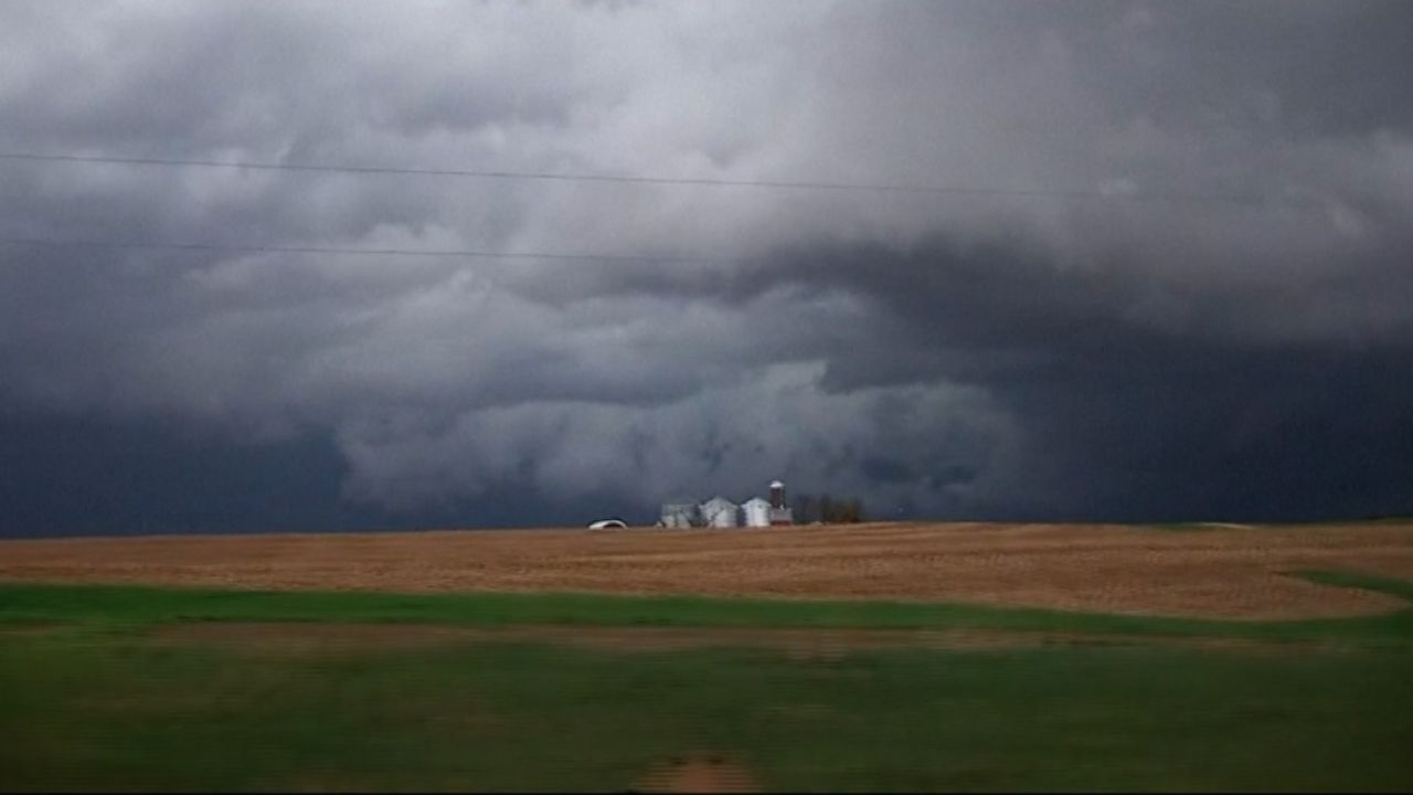
Forecasters are currently tracking a 20% chance of isolated showers and thunderstorms during the late afternoon and early evening hours.
While most communities are likely to remain dry, isolated storms that do form could become briefly strong.
Meteorologists say gusty winds and small hail cannot be ruled out in the strongest cells.
Because of the unpredictable nature of these storms, residents may want to keep an umbrella nearby when heading outdoors.
Unsettled Weather Pattern Returns to North Texas
The broader weather pattern across the region remains unstable as June begins.
Forecasters say North Texas is entering a familiar setup that often develops during late spring and early summer. The pattern features hot and humid afternoons followed by scattered thunderstorm development later in the day.
These storms typically form during peak daytime heating before gradually weakening around sunset.
Although widespread severe weather is not currently expected, isolated stronger storms remain possible.
Weather experts caution that localized storms could still produce brief periods of heavy rain, strong wind gusts and small hail, even without a major severe weather outbreak.
Rain Chances Could Bring Relief From Recent Heat
Many areas across North Texas have experienced several days of intense sunshine and limited cloud cover, allowing temperatures to soar into the 90s.
As cloud cover increases and rain chances become more widespread, forecasters expect at least a temporary break from the recent heat.
Temperatures are forecast to drop closer to or even slightly below seasonal averages for a few days this week, offering some relief from the early summer warmth.
The increased cloud cover will also help limit daytime heating, especially during periods of shower and thunderstorm activity.
June Forecast Remains Active
Looking ahead, weather models continue to indicate multiple opportunities for rain and thunderstorms throughout the first week of June.
The active pattern is expected to keep conditions somewhat unsettled across the Metroplex and surrounding communities.
While exact timing and locations of daily storms remain uncertain, residents should be prepared for changing weather conditions during the afternoon and evening hours.
Forecasters currently expect rain chances to gradually decrease during the second week of June, allowing temperatures to slowly climb once again.
For now, however, North Texans can expect a mix of sunshine, humidity, scattered storms and slightly cooler temperatures as June gets underway.
Are you looking forward to the cooler temperatures, or are you ready for summer heat to return? Share your thoughts in the comments below.