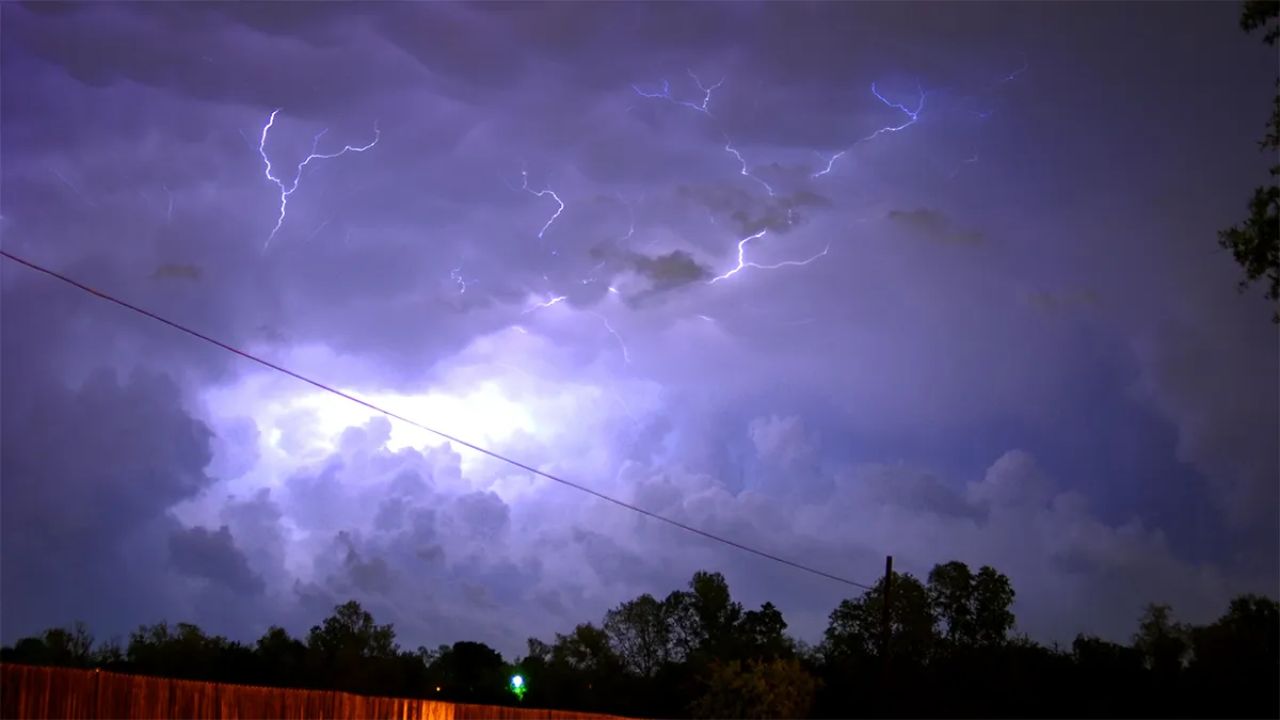
CHICAGO, IL – A prolonged stretch of calm weather ended Friday as showers and thunderstorms returned to the Chicago area, signaling the start of a more active and potentially severe weather pattern.
Severe Risk Overnight
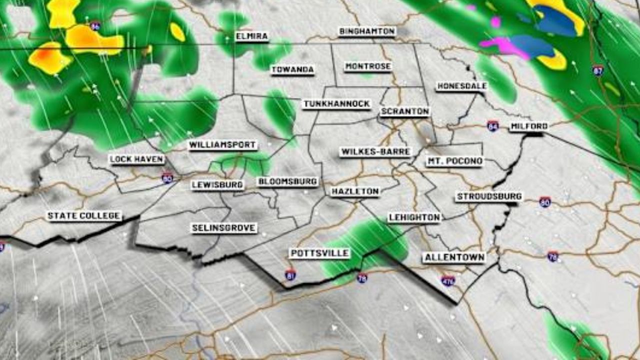
The Storm Prediction Center placed several of Chicago’s southwestern counties under a “slight” risk (level 2 of 5) for severe weather. The rest of the Chicago area remains under a “marginal” risk (level 1 of 5).
While scattered storms moved through Friday evening, meteorologists warn that the most significant severe threat will arrive overnight, specifically between 3:00 a.m. and 6:00 a.m. south of Interstate 80.
Primary Hazards and Airport Delays
The incoming overnight storms bring multiple weather hazards to the region:
- Damaging Winds: Wind gusts could potentially reach up to 60 mph.
- Large Hail: Hail up to one inch in diameter is possible.
- Flash Flooding: High moisture levels mean torrential rainfall could cause localized flooding.
- Tornado Risk: The risk for tornadoes currently remains low.
The turbulent weather already impacted regional travel on Friday, triggering a ground delay program at O’Hare International Airport that lasted for several hours before being lifted in the evening.
Weekend Outlook
- Saturday: Overnight storms are expected to clear out by 7:00 a.m., leading to a mostly dry day with a minor 30% chance of an afternoon shower. Highs will reach the mid-80s.
- Sunday: Conditions will remain mainly dry, though communities to the south and southwest face a slightly higher chance of rain. Highs will dip into the low 80s.
Looking ahead to next week, local forecasters predict a return to intense summer weather, with temperatures expected to climb into the 90s.