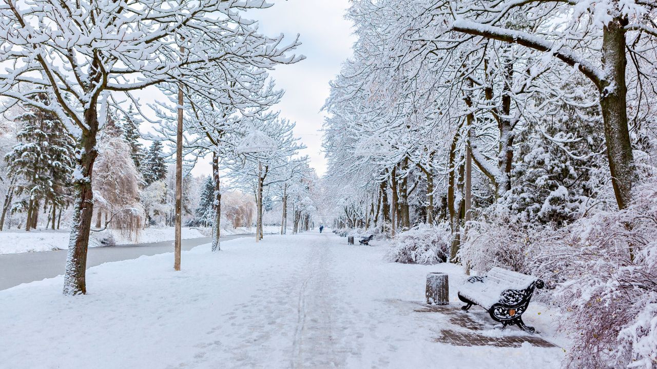
Rye, Colorado – Mountain travel across southern Colorado is expected to become increasingly hazardous beginning Thursday afternoon as a winter storm moves into the region, bringing the potential for significant snowfall in the Wet Mountains through Friday.
Winter Storm Watch Issued for Wet Mountains
The National Weather Service has issued a Winter Storm Watch for the Wet Mountains, including areas near Rye and surrounding high terrain. The watch is in effect from Thursday afternoon through Friday afternoon and covers elevations from roughly 6,300 feet up to and above 10,000 feet.
Forecasters say snow accumulations between 6 and 11 inches are possible, with the highest totals expected at higher elevations, particularly near mountain passes and exposed ridgelines. While lower elevations may see lighter amounts, conditions can still deteriorate quickly as snowfall intensifies.
Timing and Storm Progression
According to weather officials, snowfall is expected to begin Thursday afternoon, gradually increasing in intensity as colder air moves into the region. The storm is forecast to strengthen Thursday evening, a timing that could coincide with evening travel across mountain roads.
Snowfall rates may increase overnight, allowing accumulations to build rapidly. Friday morning could bring continued snow, especially across higher terrain, before the system gradually weakens later in the day. Even as snowfall tapers, lingering impacts such as slick roads and reduced visibility are expected to persist into Friday afternoon.
Travel Impacts and Road Conditions
Mountain routes in and around the Wet Mountains are likely to experience snow-covered and icy roads, making travel difficult and potentially dangerous. Areas near Rye and nearby mountain corridors may see periods of low visibility, particularly during heavier snow bands.
Road crews may struggle to keep up with snowfall rates at times, especially overnight when temperatures remain cold. Drivers traveling through mountain passes should be prepared for slower speeds, temporary closures, and sudden changes in road conditions.
Officials caution that conditions can change rapidly in winter storms, especially at higher elevations where wind and terrain can intensify impacts.
Safety Guidance for Residents and Travelers
Residents and travelers are urged to prepare ahead of time and adjust plans if possible. Avoiding non-essential travel during peak snowfall hours is strongly recommended.
Those who must travel should take extra precautions, including carrying winter emergency supplies, ensuring vehicles are equipped with adequate tires, and allowing extra travel time. Emergency kits should include blankets, food, water, a flashlight, and a fully charged phone.
Backcountry travel is also discouraged during the storm period. Increasing snow accumulation combined with reduced visibility can make navigation difficult and elevate risks for outdoor recreationists.
What a Winter Storm Watch Means
A Winter Storm Watch indicates that conditions are favorable for significant winter weather, but exact timing and amounts may still change. Officials emphasize that this watch could be upgraded to a warning or advisory as the storm approaches and forecast confidence increases.
Additional alerts may be issued if snowfall totals trend higher or if hazardous travel conditions become more widespread. Residents in the watch area are advised to remain alert and monitor updated forecasts through Friday.
Ongoing Monitoring and Preparedness
Weather officials will continue to evaluate incoming data as the system develops. Small shifts in temperature or storm track could influence snowfall totals, particularly at the lower end of the elevation range.
Travelers with plans through southern Colorado’s mountain regions should stay informed and be prepared to adjust routes or delay trips if conditions worsen.
Conclusion
The approaching winter storm has the potential to bring significant snowfall to the Wet Mountains, creating hazardous travel conditions from Thursday afternoon through Friday. With up to 11 inches of snow possible at higher elevations, preparation and caution will be key for anyone traveling or living in affected areas.
Residents and travelers are encouraged to stay updated on weather alerts, plan ahead, and prioritize safety as conditions evolve. Share your experiences in the comments below.