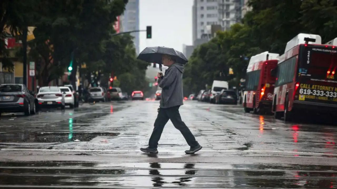
New York City, New York — Residents across the Northeast are dealing with an extended stretch of gloomy spring weather as a stubborn storm system continues to bring rain, clouds, and cooler-than-normal temperatures to the region.
Meteorologists say an unusual weather setup known as an “Omega block” is effectively trapping stormy conditions over the area, creating what experts describe as an “atmospheric traffic” jam that is slowing weather systems from moving out.
Severe Storm Threat Sweeps Through Region
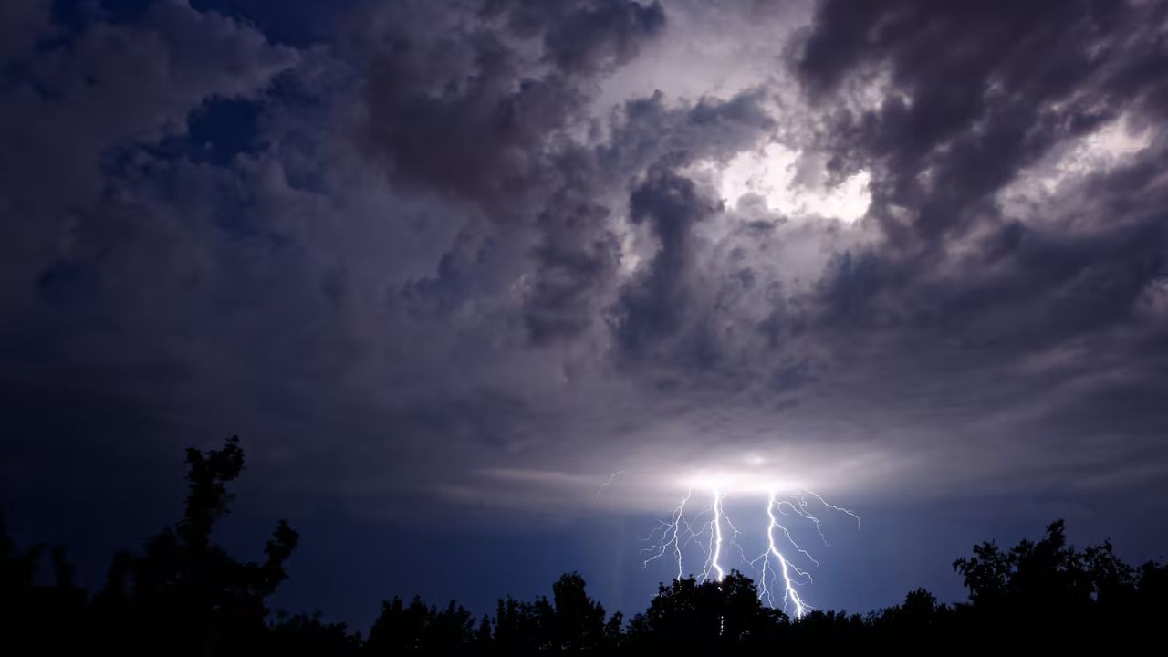
The unsettled weather pattern first brought the threat of severe thunderstorms on Wednesday across parts of the Northeast and Mid-Atlantic.
A Level 1 out of 5 severe storm risk was issued for portions of western New York, Pennsylvania, West Virginia, and Virginia.
Cities including Syracuse, Pittsburgh, and Charleston were among the areas at risk for thunderstorms capable of producing damaging wind gusts and heavy rain.
While the most intense storms are expected to move through relatively quickly, forecasters warn that the broader gloomy pattern will remain locked in through the end of the workweek.
Low Pressure System Fueling Days of Rain
At the center of the persistent weather pattern is a large area of low pressure stalled over the Northeast and nearby southern Canada.
This system continues pulling moisture into the region, keeping skies cloudy and conditions damp across major population centers along the Interstate 95 corridor and throughout New England.
By Thursday morning, the low-pressure system is forecast to position itself near the eastern Great Lakes and southern Canada, continuing to feed scattered showers and pockets of rain into the Northeast through the afternoon.
Meteorologists say the same moisture responsible for Wednesday’s storms will continue streaming into the region, preventing any significant clearing.
Rainfall Totals Continue Rising
Rainfall is expected to persist into Friday, though coverage may become more scattered compared to earlier in the week.
Dangerous Weather Pattern Targets Central U.S. With Damaging Winds and Large Hail
Forecasters predict that 1 to 2 inches of rain could accumulate across parts of upstate New York and interior New England before the storm system finally begins to weaken.
Although widespread flooding is not currently expected in most areas, repeated rainfall could still create localized ponding on roads and minor drainage issues in some communities.
Travel conditions may remain slow during periods of heavier rain, especially during peak commuting hours.
Temperatures Feeling More Like March
In addition to the rain, cooler air circulating around the storm system is keeping temperatures well below what many residents expect for late May.
Weather experts say the overall pattern feels more similar to early March rather than the approach of summer, with damp air and thick cloud cover preventing daytime warming.
The prolonged gray skies are also impacting visibility and limiting sunshine across much of the region.
Brighter Weekend Ahead
Despite the dreary forecast through Friday, there is some good news for those tired of the wet conditions.
Meteorologists expect the stubborn low-pressure system to gradually weaken and move away heading into the weekend, allowing warmer temperatures and drier weather to return to much of the Northeast.
The improvement could finally bring a more seasonable spring feel after several days of clouds and rain dominated the region.
Until then, residents are being advised to keep umbrellas nearby and remain alert for occasional heavier showers and gusty conditions.
How’s the weather looking in your area this week? Share your local conditions and thoughts in the comments below.