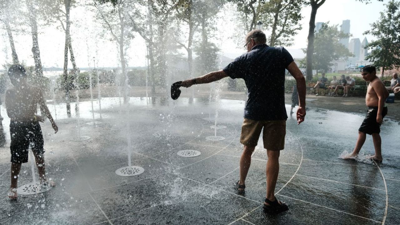
LOCAL AREA – A significant temperature spike is on the way after a clear and calm night, with inland areas expected to approach the low 90s by the weekend.
The Midweek Forecast
Weather conditions tonight will remain calm and clear, with temperatures only cooling down into the comfortable 50s.
The warmup begins in earnest on Thursday, as continued sunshine pushes afternoon temperatures well into the 80s.
Weekend Heat Peak
The upward trend peaks during the first half of the weekend. By Friday and Saturday, many inland locations are projected to hit the low 90s. Residents planning outdoor activities are advised to stay hydrated and take precautions against the sudden heat.
Rain and Cooling Trend Ahead
The summer-like heat will be short-lived. A shifting weather pattern will bring a return of rain showers by Sunday.
This incoming system will trigger a brief cooldown, dropping daytime highs back into the 60s and 70s to kick off next week.