Lubbock, Texas – A sharp February chill greeted residents across the South Plains early today as temperatures hovered at 32°F around sunrise in Lubbock. The cold start raised concerns for slick travel conditions before a rapid warm-up later in the day. While sunshine returns this afternoon, a more unsettled weather pattern is expected by the end of the week, bringing rain chances and fluctuating temperatures into Valentine’s weekend.
Incident Overview
The day began under freezing conditions, cold enough to allow moisture on roads to refreeze during the early morning hours. Patchy slick spots were possible on bridges, overpasses, shaded roadways, and rural highways, particularly where light drizzle or overnight irrigation left damp pavement. These hazards were most likely through midmorning, before temperatures climbed above freezing.
As the morning freeze eased, skies gradually cleared, allowing daytime highs to rebound to around 63°F. Light winds shifting from north to south helped accelerate the warming trend, creating a noticeably milder afternoon compared to the early hours.
Timeline of Weather Changes
Conditions across Lubbock are expected to evolve quickly over the next several days. After today’s cold start and afternoon recovery, the region will see a pronounced warm-up on Thursday, followed by increasing rain chances on Friday and into the weekend.
Thursday brings mostly sunny skies and a surge in temperatures, with highs climbing near 77°F, well above typical mid-February averages. This warm spell will be short-lived, however, as increasing cloud cover signals the arrival of a more active weather system.
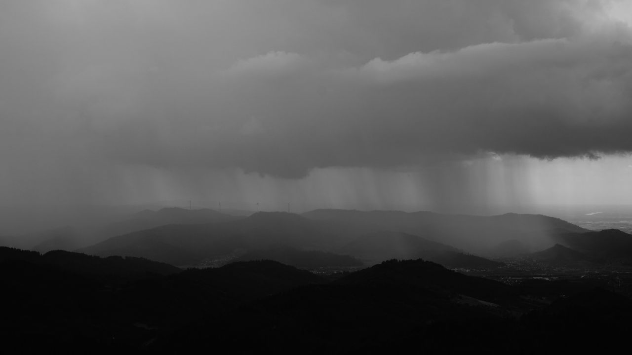
By Friday afternoon, rain chances rise to 50 percent, with showers becoming more widespread Friday night. Some storms may be capable of producing brief heavy downpours and gusty winds, which could impact evening travel.
Details From Forecasters
Meteorologists indicate that while severe weather is not the primary concern, periods of steady rainfall could reduce visibility and create ponding on roadways. Drivers should use caution on major routes such as Loop 289, U.S. 84, and surrounding highways during periods of heavier rain, especially after sunset.
Temperatures on Friday are expected to top out near 69°F, remaining mild despite the increasing moisture. Overnight lows will dip but stay above freezing, limiting concerns for ice during the rain event.
Key Facts at a Glance
- Morning low today: 32°F
- Today’s high: 63°F
- Thursday high: 77°F
- Friday rain chance: 50%
- Saturday rain chance: 60%
- Weekend highs: 61–68°F
Valentine’s Weekend Outlook
Valentine’s weekend trends cooler and wetter, though conditions will not be harsh. Saturday brings the highest likelihood of rain, with a 60 percent chance of showers and highs near 61°F. While rainfall may be inconvenient for outdoor plans, temperatures will remain seasonable.
By Saturday night, skies are expected to clear, allowing temperatures to fall into the upper 30s. Sunshine returns on Sunday, with highs rebounding to around 68°F, offering a pleasant close to the weekend for outdoor activities.
Additional Context: Travel and Safety
Residents and travelers should remain weather-aware through the weekend, especially during early mornings and during periods of rain. Cold starts combined with wet conditions can create hidden hazards, particularly on elevated roadways. Allowing extra travel time and reducing speed during rain showers can help lower accident risks.
Those with Valentine’s travel plans should monitor local conditions, as brief downpours may cause delays even without severe storms. Visibility can drop quickly during heavier showers, particularly after dark.
Looking Ahead
Early next week appears unseasonably warm, with temperatures running 10 to 20 degrees above average across much of Texas. Highs may reach the 70s by Washington’s Birthday, continuing a broader warming trend expected to expand across much of the United States into late February. While winter is not over, the pattern hints at an early taste of spring across the region.
Five-Day Outlook for Lubbock
- Today: Morning freeze, then decreasing clouds, high 63°F
- Thursday: Mostly sunny, high 77°F
- Friday: 50% chance of showers, high 69°F
- Saturday: Showers likely, high 61°F
- Sunday: Sunny, high 68°F
Conclusion
Lubbock residents will experience a classic February swing, from a freezing morning to near-spring warmth, followed by rain and cooler weekend conditions. Staying alert during early cold hours and rainy periods will be key as weather patterns shift rapidly over the next several days.
Share your experiences in the comments below.