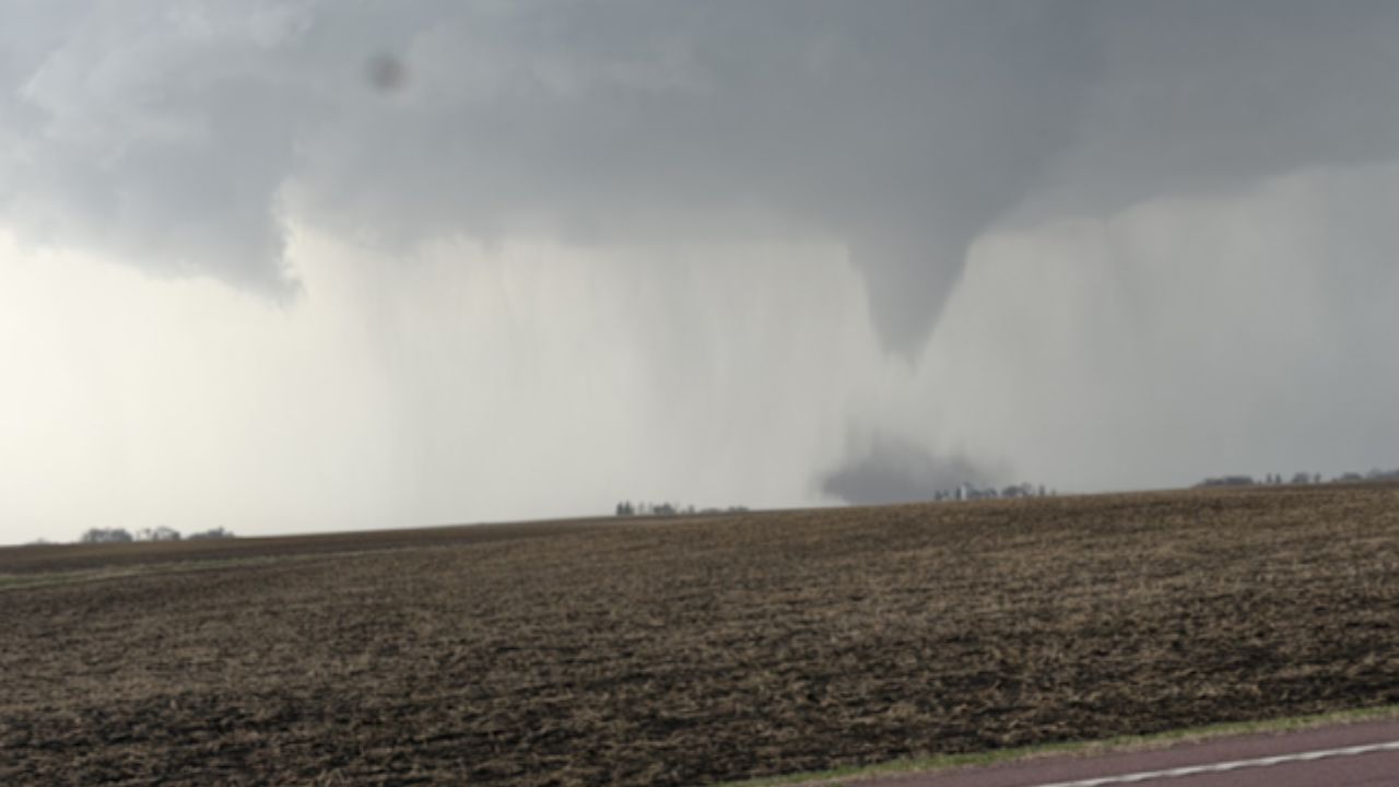
U.S. WEATHER DESK — Millions of Americans are under alert as a potent multi-day severe weather setup begins to sweep across the United States. From the High Plains to the Great Lakes and down into the Deep South, meteorologists are warning of a “stair-step” progression of storms that could bring everything from damaging wind gusts to “very large” hail and isolated tornadoes through the weekend.
The Storm Prediction Center (SPC) has highlighted a shifting corridor of risk that will evolve significantly between Wednesday, April 22, and Saturday, April 25.
Wednesday’s Outlook: Isolated Threats in the Plains and Ohio Valley
The initial phase of the storm system began on Wednesday, with the threat primarily focused on two distinct regions. The High Plains—covering parts of West Texas, Kansas, and Nebraska—saw scattered development along a dryline. Simultaneously, a separate cell of concern moved across Northeast Indiana and Northern Ohio.
While these initial storms were expected to stay isolated, the SPC warned that any cell that reached maturity could produce significant hail and sudden, intense wind gusts.
Thursday: The Danger Intensifies (April 23)
The threat level ramps up significantly on Thursday as a cold front pushes across the Central and Northern Plains. Forecasters have issued a “Slight Risk” (Level 2 out of 5) for a corridor stretching from Southern Kansas through Omaha, Nebraska, and into the Twin Cities region of Minnesota.
Residents in cities like Wichita, Omaha, and Minneapolis should be on high alert. The primary hazards for Thursday include:
- Large to Very Large Hail: Atmospheric conditions are ripe for hail stones that could cause property and vehicle damage.
- Tornadoes: Meteorologists expect storms to start as “discrete cells.” These individual storm pods are the most likely to produce tornadoes before they eventually merge into a solid line of wind.
- Damaging Winds: As the storm cells consolidate into a line later in the evening, the risk of straight-line wind damage increases.
Further south in Oklahoma and North Texas, the atmosphere is described as “highly unstable.” While a “cap” in the atmosphere may prevent storms from forming, forecasters warn that if that cap breaks, any resulting storm will likely become severe almost instantly.
The Weekend Shift: Southward Bound
By Friday and Saturday, the energy from this system will dive south. Parts of Oklahoma, Arkansas, Mississippi, and Tennessee are next in line. While the organization of these storms appears slightly less defined than Thursday’s activity, the sheer amount of moisture and heat in the Lower Mississippi Valley will be enough to support locally damaging winds and isolated tornadoes.
Safety Reminders for Hoosiers, Kansans, and Beyond
With back-to-back storm systems already hitting the Great Lakes and Midwest this spring, emergency management officials are urging residents to review their severe weather plans now.
- Multiple Alert Sources: Ensure you have a NOAA Weather Radio or a reliable weather app with “Always On” notifications.
- Identify Your Safe Spot: Whether it is a basement or an interior, windowless room on the lowest floor, know exactly where you are going before the sirens sound.
- Charge Your Devices: Potential wind damage can lead to multi-hour power outages.
Stay safe, America. Is your community in the path of these storms? Have you already seen hail or high winds in your area today?
Share your local weather reports and photos in the comments below to help keep your neighbors informed!