Dallas–Fort Worth, Texas — North Texas residents should prepare for changing weather conditions this week, including the possibility of strong to severe storms Tuesday night and fluctuating temperatures across the Dallas–Fort Worth Metroplex.
Meteorologists say the week will begin mostly quiet, but storm chances will increase as a weather system moves through the region.
While much of Monday will remain dry, Tuesday evening and overnight currently appear to bring the highest risk for stronger storms across North Texas.
Warm and breezy start to the week
Monday will begin with partly cloudy skies across the Dallas–Fort Worth area, with only a very small chance of an isolated shower.
Most locations across North Texas are expected to remain dry throughout the day.
As the afternoon progresses, cloud cover will increase while southwest winds strengthen, helping push temperatures well above seasonal averages.
Forecasters say Monday’s warmer temperatures are being driven by strong southwest winds bringing warmer air into North Texas.
Despite the clouds, rain chances remain low through most of Monday.
Storm chances increase Tuesday
Conditions will begin shifting Tuesday as the atmosphere becomes more favorable for thunderstorm development.
The day will likely feature mostly cloudy skies with scattered showers and storms possible during the afternoon.
However, meteorologists say the strongest storms are more likely later in the evening and overnight hours.
Weather models suggest a cap in the atmosphere during the daytime Tuesday may suppress most storm development until later in the evening.
Once that cap breaks, storms could develop quickly and organize into a stronger line moving across the region.
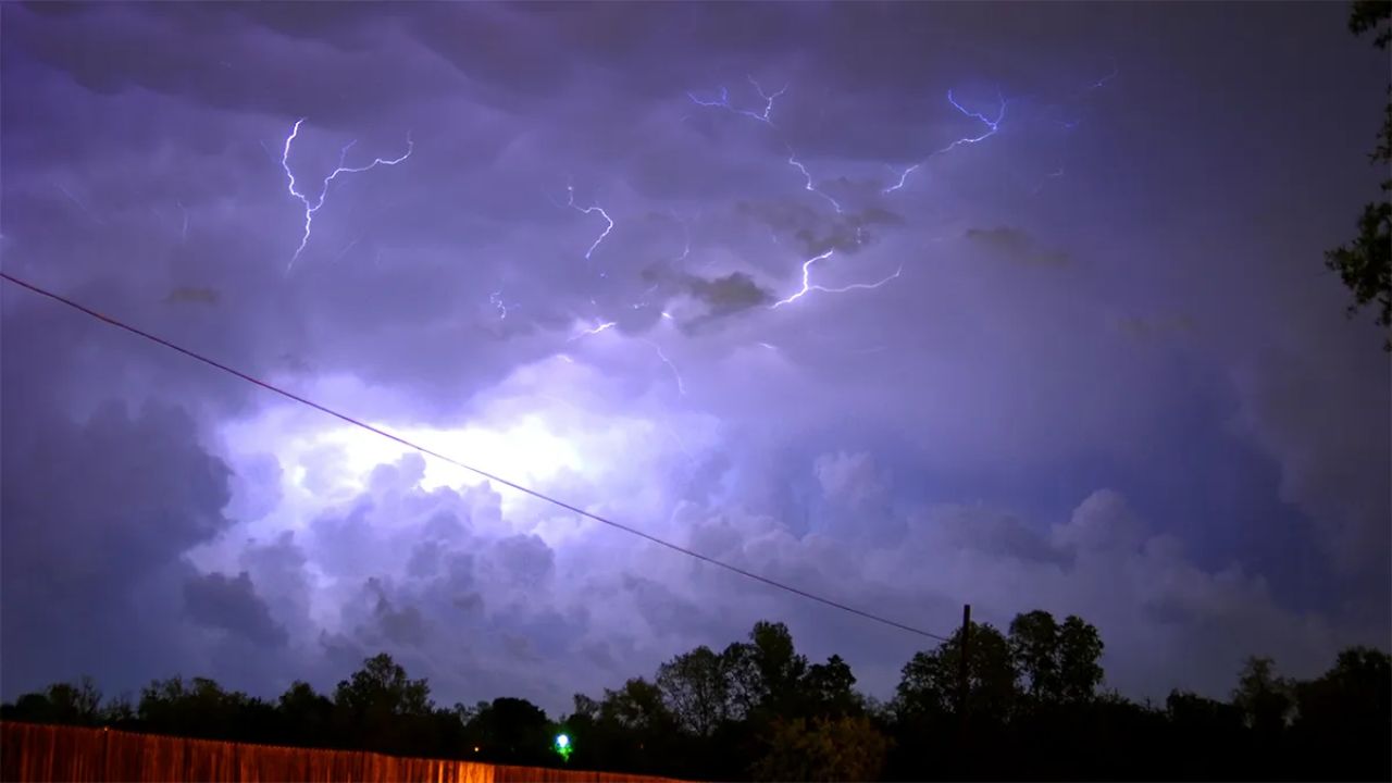
Severe storms possible Tuesday night
The main window for stronger storms appears to be Tuesday evening into early Wednesday morning.
For the Dallas–Fort Worth Metroplex, forecasters say the main line of storms may not arrive until after 8 p.m. Tuesday.
Storms moving through North Texas could bring several hazards.
Potential impacts include:
Quarter-size hail
Wind gusts exceeding 50 mph
Heavy downpours
A very low tornado risk
Meteorologists emphasize that damaging winds and hail are currently the primary concerns with Tuesday night’s storms.
Although the tornado risk remains low, forecasters say a brief spin-up tornado cannot be completely ruled out within stronger storm cells.
Rain moves out by Wednesday
Storms should gradually move east across North Texas overnight Tuesday and into early Wednesday.
By late Wednesday morning, the majority of rainfall is expected to shift out of the Dallas–Fort Worth area.
Some lingering showers may remain through midday Wednesday, but the severe weather threat should diminish early in the day.
Quieter weather expected later in the week
After midweek storms move through, weather conditions across North Texas are expected to settle down.
Forecast models show drier conditions returning for the second half of the week and heading into the weekend.
However, temperatures will continue to fluctuate over the next couple of weeks.
Meteorologists say North Texas may experience several temperature swings over the next 14 days, with warm days followed by occasional cooler periods.
Overall, the forecast suggests more warm days than cold ones, signaling that spring weather patterns are beginning to take hold across the region.
What residents should watch
The most important timeframe to monitor this week will be Tuesday evening through early Wednesday morning, when stronger storms could impact the Dallas–Fort Worth area.
Residents are encouraged to stay updated with local forecasts and ensure they have multiple ways to receive weather alerts overnight, when severe storms can be more dangerous.
Weather conditions will continue evolving over the next few days as meteorologists refine the timing and strength of the storm system.
Are you expecting storms in your part of North Texas this week? Share your local weather conditions or preparation tips respectfully in the comments below.