Southern California is expected to see a shift in weather conditions this weekend as a pair of incoming storm systems bring much-needed rainfall to the region, along with a chance of thunderstorms and localized flooding.
After warm daytime temperatures midweek, conditions will begin to cool as a cut-off low-pressure system moves in. Temperatures are expected to drop by around 10 degrees heading into the weekend, though the system is not considered particularly cold.
According to forecasters, rain could begin as early as Friday and continue into early next week. A second upper-level system is expected to arrive late Sunday, extending the period of unsettled weather.
Rainfall totals across the region are projected to range between 0.5 and 1 inch. However, areas that experience stronger convective bursts could receive significantly higher amounts, with localized totals reaching up to 2 to 3 inches by Monday.
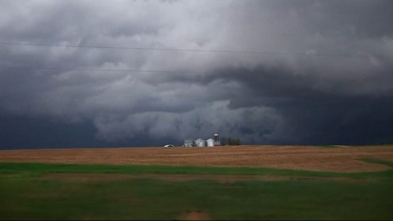
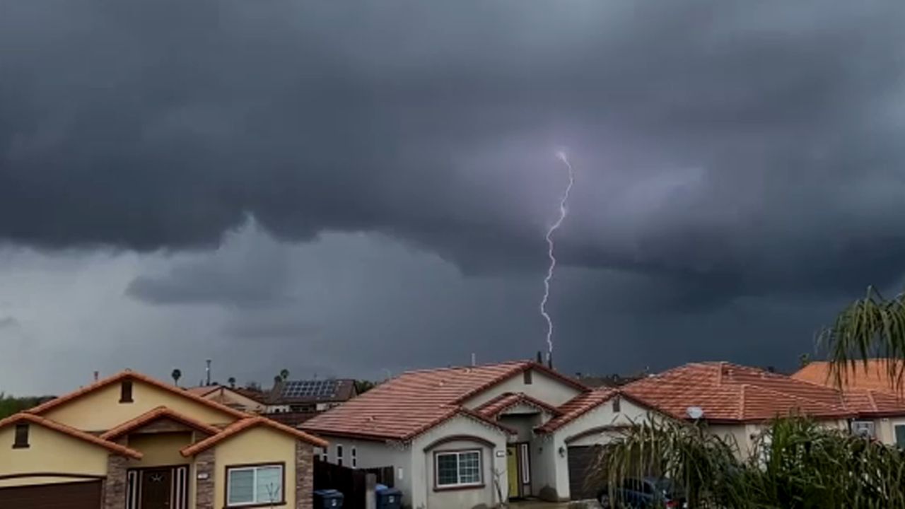
The first storm system is also expected to bring warmer air from the south, creating conditions favorable for thunderstorm development. This combination of warm and cold air increases the likelihood of brief but intense downpours.
Because of these sudden heavy rain bursts, there is a risk of minor flooding in isolated areas. In addition, gusty winds and small hail may accompany some of the stronger storm cells.
Snow levels will initially remain high, around 7,000 feet, but are expected to drop to approximately 5,000 feet as the second, cooler system moves in later in the weekend.
Despite the incoming storms, the weekend will not be a continuous washout. Forecasts indicate there will be extended dry periods with sunshine, with rainfall mainly occurring in short, heavy bursts rather than steady precipitation.