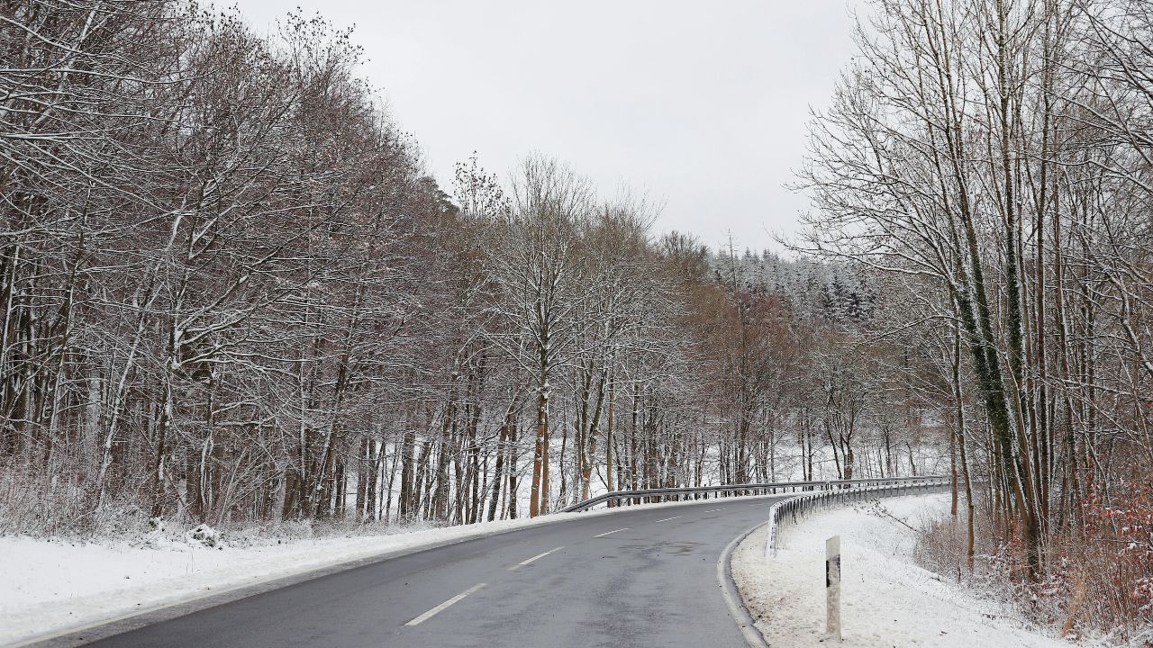
Anchorage, Alaska – A fast-moving winter weather system is expected to bring intense snowfall to large portions of Southcentral Alaska early Wednesday, creating hazardous travel conditions during the morning commute. Forecasters warn that short bursts of heavy snow could rapidly reduce visibility on major roadways and mountain passes.
Winter Weather Advisories are in effect across multiple regions as light, powdery snow accumulates quickly before tapering later in the day. Drivers are being urged to plan for delays and rapidly changing road conditions.
Incident Overview
According to the National Weather Service office in Anchorage, snow is expected to begin before dawn Wednesday, coinciding with peak commute hours. While total accumulations may appear modest in some locations, the rate of snowfall is the primary concern.
Snowfall rates may approach 1 inch per hour, particularly during heavier bursts, significantly lowering visibility and making untreated roads slick in a short period of time.
Timeline of Expected Conditions
Snow is forecast to start developing across Anchorage and surrounding communities in the early morning hours, intensifying quickly as commuters head to work and school. The most hazardous travel conditions are expected from pre-dawn through mid-morning, with lingering impacts into the afternoon in outlying areas.
By late Wednesday, snowfall intensity is expected to gradually decrease for most lowland communities, though mountain passes may continue to experience difficult conditions.
Areas Under Winter Weather Advisories
Winter Weather Advisories cover a broad portion of Southcentral Alaska, including Anchorage, Eagle River, the Matanuska Valley, and much of the Susitna Valley.
Forecast accumulations include:
- 2 to 4 inches in Anchorage, Eagle River, Palmer, Wasilla, and Big Lake
- 3 to 6 inches in northern and eastern areas such as Sutton, Chickaloon, Talkeetna, and Trapper Creek
Despite relatively moderate totals, the dry, powdery nature of the snow increases the risk of sudden visibility loss as passing vehicles kick snow back into the air.
Mountain Pass and High-Impact Areas
More dangerous conditions are expected in higher elevations, especially at Thompson Pass, where snowfall totals of 5 to 10 inches are possible. Winds gusting up to 50 mph could combine with falling snow to produce blowing snow and near-whiteout conditions from mid-morning through Wednesday evening.
Even after snowplows clear roadways, strong winds and light snow can quickly re-cover lanes, making travel unpredictable for drivers unfamiliar with winter mountain driving.
Visibility and Road Hazards
During heavier snow bursts, visibility may drop to one-half mile or less, particularly in open areas and along highways. The light snow texture allows it to remain airborne longer, which can create sudden whiteouts with little warning.
Bridges, overpasses, and untreated secondary roads are expected to become slick early, increasing the risk of spin-outs and minor collisions during the commute.
Official Guidance and Travel Advice
Weather officials recommend that motorists slow down, increase following distances, and allow extra travel time Wednesday morning. Checking current road conditions and forecasts through the National Weather Service Anchorage forecast page before departing is strongly advised.
Drivers traveling through the Mat-Su region or mountain passes should be prepared for rapidly deteriorating conditions and consider postponing non-essential travel until snowfall rates ease.
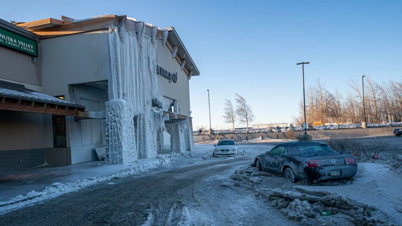
Additional Context: Why Light Snow Can Be Dangerous
Unlike wetter snow, dry, powdery snow does not compact quickly. This means traction can disappear suddenly, and visibility can drop even after snowfall slows. Vehicles traveling at highway speeds can lift snow back into the air, creating conditions similar to a brief blizzard.
These factors make light snow events particularly deceptive, as roads may appear passable one moment and become hazardous the next.
Conclusion
Wednesday’s fast-moving snow system is expected to create significant travel challenges across Southcentral Alaska, especially during the morning commute. While snowfall totals vary by location, high snowfall rates, blowing snow, and reduced visibility are the primary hazards to watch.
Residents are encouraged to stay weather-aware, adjust travel plans if possible, and drive cautiously throughout the day.
If you experienced difficult travel or changing road conditions during the storm, share your experiences in the comments below.