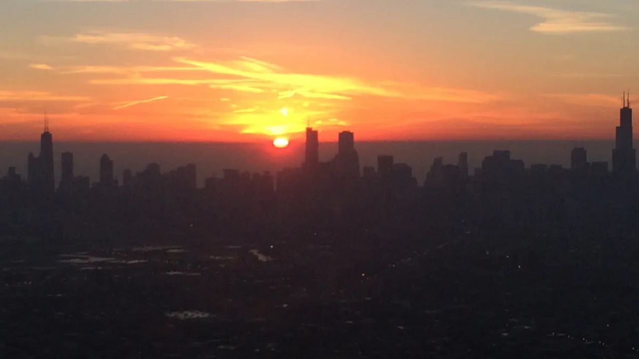
Chicago, Illinois — After enjoying springlike temperatures near 65 degrees on Friday, the Chicago area is preparing for a sharp cooldown this weekend — and even the possibility of light snow.
Friday began with frost and below-freezing temperatures, but dry air allowed readings to climb nearly 40 degrees by the afternoon, creating an unseasonably warm feel across the region.
That brief taste of spring won’t last long.
Cold Front Brings Weekend Cooldown
By late Friday night, temperatures will settle into the 40s before dropping into the 30s by Saturday morning as a cold front pushes through. Some outlying areas could see lows dip into the upper 20s.
Cloud cover will increase before sunrise Saturday, leading to a mostly cloudy day.
While some precipitation is expected, forecasters say amounts remain uncertain, as part of it may evaporate before reaching the ground.
Afternoon highs Saturday should remain above freezing in the mid-30s, possibly reaching the low 40s south of Interstate 80. Light rain may mix in at times, and with temperatures staying above freezing, significant snow accumulation is unlikely during the day.
Evening Freeze Could Bring Slick Spots
Conditions may change after sunset.
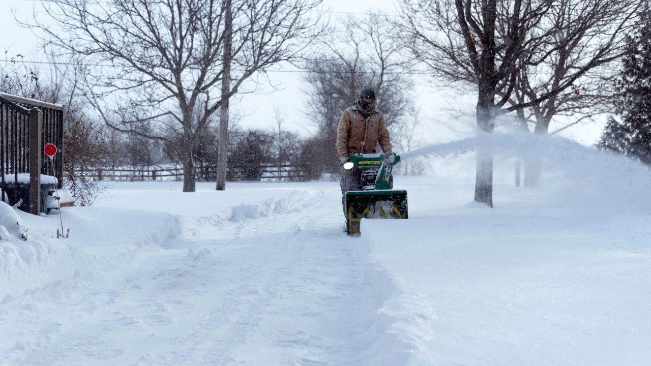
Temperatures are forecast to drop back below freezing Saturday evening, settling into the upper 20s or near 30 degrees. If enough moisture lingers, a light dusting of snow could develop overnight, potentially leading to slick roads and sidewalks.
Drivers are encouraged to remain cautious late Saturday and early Sunday if snowfall materializes.
Read Also: Another Winter Storm May Target NYC, New Jersey and Connecticut Next Week
Lake-Effect Snow Possible Sunday
On Sunday morning, there is a chance for lake-effect snow, depending on wind direction.
If winds shift more northerly, the Chicago area could see some snow bands. However, if winds turn differently, the region may miss the activity altogether.
Should the lake-effect snow remain limited, Sunday may stay mostly cloudy, with afternoon highs struggling to climb out of the 20s, rather than reaching 30 degrees.
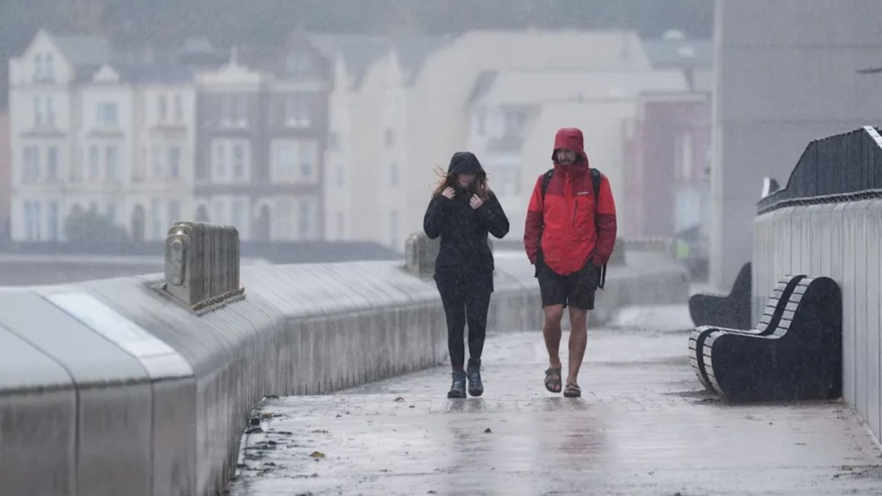
Rainy Pattern Ahead Next Week
For those hoping warmer weather returns quickly, temperatures will gradually rebound next week.
Highs are expected to reach around 40 degrees Monday, but sunshine will be limited.
A prolonged rainy pattern is forecast to begin late Monday night, continuing through Tuesday, returning Wednesday night, and potentially lasting into next weekend. Forecasters say a couple of inches of rain could fall over the course of the week.
Looking ahead to next weekend, temperatures may climb back toward 60 degrees, bringing another taste of spring — though likely with lingering clouds or showers.
Are you ready for winter’s quick comeback this weekend? Let us know how you’re preparing for the temperature swings in the comments below.