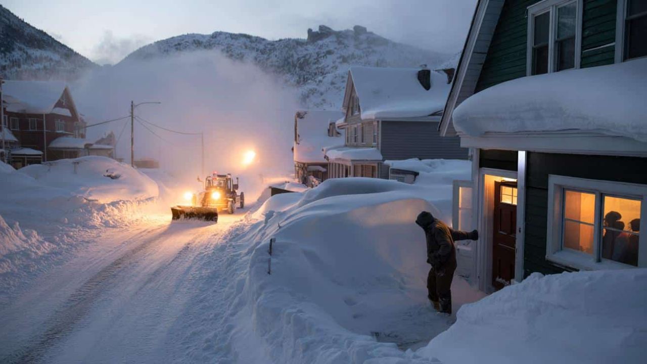
Just days after enduring a historic blizzard followed by a brief taste of spring-like warmth, the Northeast United States is once again bracing for another round of snow and icy conditions.
While this system is not expected to rival last weekend’s record-setting totals, forecasters warn that snow and ice could still disrupt travel across multiple states through Tuesday morning.
Blizzard Aftermath: From 37.9 Inches in Providence to Another Snow Threat
Last weekend, much of the Northeast was buried under significant snowfall, with several states recording at least 20 inches. Providence, Rhode Island, saw a staggering 37.9 inches — a record-setting amount for the city.
Now, as a new weather system reorganizes, wintry precipitation is pushing northward once again.
According to the National Weather Service, a warm front attempting to reestablish itself is expected to spread snow and mixed precipitation into the region beginning Tuesday morning.
Winter Weather Advisories are already in effect across parts of the Mid-Atlantic, with additional alerts expanding into the Northeast.
8 States Under Winter Weather Warnings
The National Weather Service has issued new winter storm warnings affecting the following states:
- Connecticut
- Massachusetts
- New Jersey
- New York
- Pennsylvania
- Oregon
- Vermont
- Wyoming
These warnings cover Monday night into Tuesday morning and beyond, with officials cautioning that snow and ice accumulation could create hazardous travel conditions during both nighttime and morning commutes.
Snowfall Expectations by Region
While this system is less intense than the previous blizzard, accumulations are still expected:
- Upstate New York: Up to 2 inches of snow and ice accumulation.
- Pittsburgh Suburbs (Pennsylvania): Similar totals expected overnight into Tuesday.
- Wyoming: Heaviest snowfall projected, with more than 10 inches possible in the Sierra Madre Mountain Range and up to 8 inches in lower elevations.
- Oregon: Up to 10 inches of snow forecast along the Cascades Monday night.
Travel disruptions are likely, especially in mountainous regions and higher elevations.
Dangerous Commutes and Ice Risks
Even modest snow totals combined with ice can significantly impact road safety. Officials are advising drivers to:
- Allow extra travel time.
- Reduce speeds on slick roads.
- Prepare emergency kits in vehicles.
- Monitor local weather alerts for updated advisories.
Overnight freezing conditions may worsen road hazards during early morning hours.
Warmer Weather on the Way
Despite the renewed winter conditions, forecasters say a notable warm-up is on the horizon for much of the eastern United States.
The National Weather Service reports that once this storm system passes, temperatures are expected to rise midweek and continue climbing into the weekend.
Meanwhile, parts of the Southwest and Southern Plains are experiencing unusually warm conditions.
“The western portion of the Southern Plains and parts of the Southwest will be particularly warm today and Tuesday, with record high daily temperatures possible,” the NWS stated.
In the southern Mid-Atlantic region, some areas could even see temperatures surpass 80 degrees later this week.
What to Expect Next
Meteorologists suggest this storm will be more moderate compared to the historic blizzard that recently blanketed the Northeast. However, the timing of snowfall during peak travel hours means even lighter accumulations could cause significant inconvenience.
Residents are encouraged to stay updated through local forecasts and heed any additional warnings or advisories issued over the next 24 to 36 hours.
Conclusion
The Northeast is once again facing winter weather challenges just days after record snowfall, but this time the system is expected to be less severe. Still, snow and ice across eight states could impact travel and daily routines through Tuesday morning.
As colder conditions give way to a potential warm-up later this week, the region continues to experience dramatic temperature swings — a reminder that winter weather patterns can remain unpredictable well into the season.