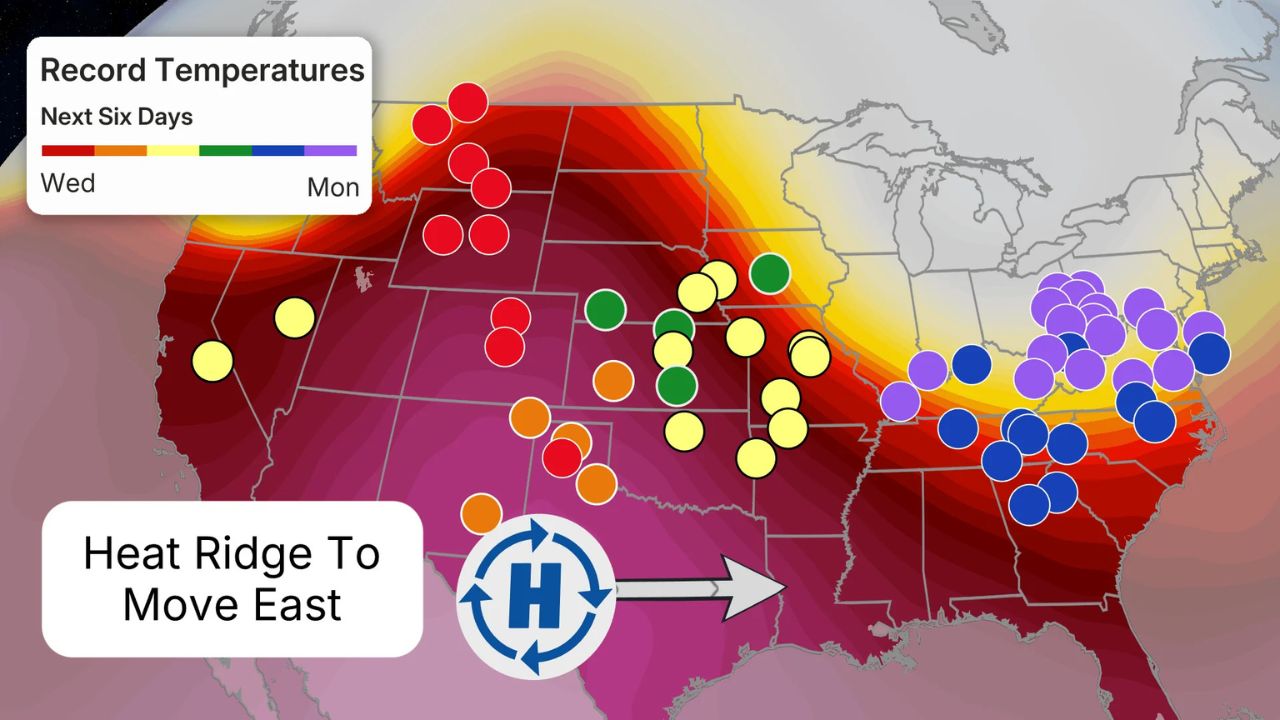
CENTRAL U.S. — Residents across the Plains and Midwest are being urged to stay weather-aware as a relentless “parade” of severe storms prepares to march across the heart of the country. According to the latest data from the NOAA Storm Prediction Center, a multi-day stretch of dangerous weather—including the risk of tornadoes, damaging winds, and massive hail—is set to begin this weekend and persist well into next week.
While the Central U.S. is no stranger to spring storms, meteorologists are concerned about the “stuck” nature of this weather pattern, which could see the same communities hit by back-to-back threats for several days in a row.
The Weekend Kickoff: Baseball-Sized Hail Possible
The threat ramps up significantly starting Saturday. Forecasters are keeping a close watch on western Texas and extreme eastern New Mexico. In these regions, atmospheric conditions are ripe for “supercell” thunderstorms. These isolated but intense storms are capable of producing massive hail, potentially reaching the size of baseballs, which can cause devastating damage to vehicles and property.
Further north, residents in Nebraska should also stay alert on Saturday, as stronger storms bringing localized wind gusts and hail are expected to develop throughout the evening.
The Week Ahead: A Daily Breakdown
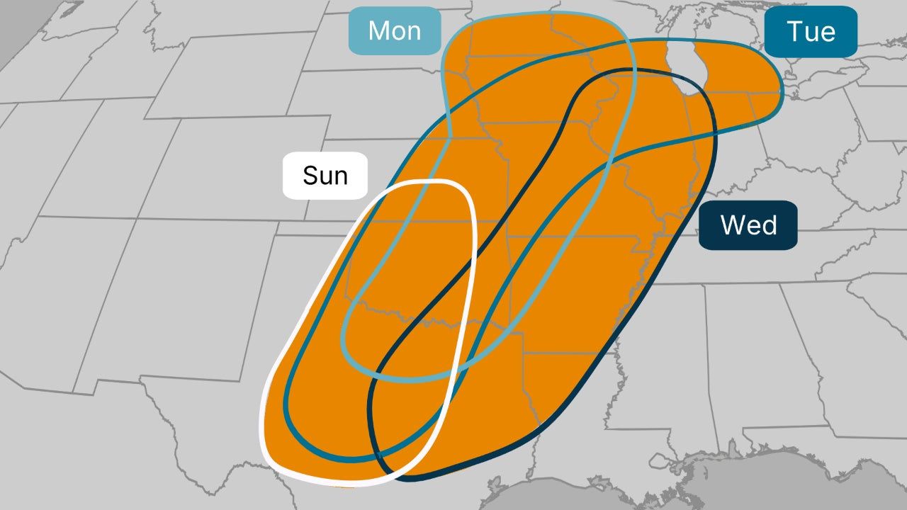
As we move into Sunday and the following workweek, the storm system will gain momentum. While uncertainty remains regarding the exact timing of individual cells, the general outlook is as follows:
- Sunday: The primary threat shifts to the Southern Plains, specifically Oklahoma and Texas. However, the moisture is so deep that thunderstorms could stretch as far north as the northern Great Lakes.
- Monday: The risk remains scattered but potent, stretching from the Southern Plains all the way up to the Upper Mississippi Valley.
- Tuesday: This is currently trending as the most dangerous day of the week. Forecasters warn of a potentially widespread outbreak of severe thunderstorms from Texas to the Midwest, with all hazards—tornadoes, hail, and damaging winds—on the table.
- Wednesday: The “parade” continues as scattered severe storms push into the Mid-Mississippi Valley and eastern Texas.
The “Why” Behind the Weather: An Atmospheric Tug-of-War
What makes this particular setup so intense? Meteorologists point to a unique atmospheric “tug-of-war.” A high-pressure system sitting over the eastern U.S. is acting like a pump, forcing warm, humid moisture from the Gulf of Mexico deep into the Plains.
Simultaneously, a southward plunge of the jet stream (a “trough”) is moving across the West. As this trough pivots into the Central Plains, it provides the “spark” needed for severe weather. Because the high pressure in the East is blocking the system from moving quickly, the trough is expected to hover, causing the same areas to be bombarded by storms day after day.
Flash Flooding: A Hidden Danger
Beyond the wind and tornadoes, a significant flash flooding threat is emerging. While much of the Plains is currently grappling with drought, the ground may not be able to absorb the projected “locally heavy rain” quickly enough. Multiple days of downpours could lead to rapid runoff, turning streets into rivers and threatening low-lying communities.
How to Prepare
Local emergency management officials recommend that all residents in the path of these storms review their severe weather plans now.
- Identify Your Safe Space: Know exactly where to go if a Tornado Warning is issued (basement or interior room).
- Charge Devices: Ensure phones and weather radios are charged in case of power outages.
- Secure Property: Move vehicles under cover if hail is in the forecast for your area.
Are you in the path of these upcoming storms? Share your local weather updates or photos (if safe to do so) in the comments below to help keep your neighbors informed!