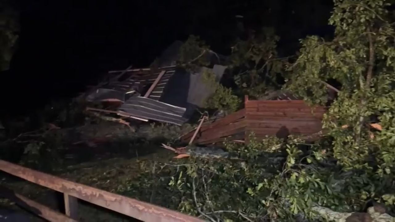
State College, Pennsylvania — A volatile weather pattern is expected to move across central Pennsylvania today as meteorologists warn that severe thunderstorms and possible isolated tornadoes could develop by the afternoon, bringing dangerous conditions to communities around State College and along major highways including Interstate 99.
The morning began with thick gray clouds and mild, humid air settling over the region, a signal that the atmosphere is building energy for potentially powerful storms later in the day.
According to the National Weather Service in State College, the most intense weather is expected from mid-afternoon through the evening hours as a strong cold front sweeps east across Pennsylvania.
“Severe thunderstorms capable of producing damaging wind gusts and isolated tornadoes are possible across central Pennsylvania later today.”
Residents across Centre, Huntingdon, and Mifflin counties are being urged to stay weather-aware as conditions could deteriorate rapidly once storms begin to develop.
Dangerous storms could impact major highways
Drivers traveling across central Pennsylvania today should prepare for rapidly changing road conditions, especially along Interstate 80, Interstate 99, and Route 322.
Heavy rain associated with the storms may cause sudden visibility drops and water pooling on roadways, increasing the risk of accidents during the evening commute.
Strong wind gusts could also create hazards by breaking tree branches or scattering debris across roads.
“Motorists along the I-99 corridor should be prepared for sudden downpours, strong winds, and quickly changing travel conditions.”
Officials recommend drivers slow down during storms and allow extra time for travel if severe weather develops.
Warm temperatures fueling storm development
Meteorologists say temperatures climbing into the mid-60s this afternoon will help fuel thunderstorm development as the approaching cold front interacts with the warm air mass.
Southerly winds could gust up to 35 mph, adding additional energy that could strengthen storms as they move across central counties.
The unstable atmosphere could support damaging wind gusts, heavy rain, and isolated tornado activity in stronger storm cells.
Winter conditions could return overnight
After the severe storms move through, the weather is expected to change dramatically as the cold front pushes east later tonight.
Meteorologists say temperatures will drop sharply after midnight, allowing rain to transition into snow showers across parts of central Pennsylvania.
Higher elevation areas could see 1 to 2 inches of wet snow before the storm system exits early Tuesday morning.
Read Also: Wind Advisory and Flood Watch Issued as Storm Moves Into NYC Region
“Rain could quickly change to snow late tonight as colder air moves into the region behind the cold front.”
While snowfall totals are expected to remain relatively light, the sudden shift in temperatures may create slick spots on some roads by early Tuesday morning.
Cold and windy conditions follow the storm system
Tuesday will bring a dramatic temperature drop across the region.
Daytime highs are expected to reach only around 30°F, while gusty winds will make conditions feel significantly colder.
Wind chills could fall into the teens throughout the day, creating a sharp contrast from the mild weather earlier in the week.
Gradual improvement expected midweek
The weather pattern will slowly stabilize as the storm system moves out of the region.
By Wednesday, skies should begin to clear with temperatures gradually climbing back into the mid-30s.
While conditions will remain chilly, calmer winds and brighter skies should provide a more comfortable midweek forecast.
Four-day outlook for State College
Tuesday: Slight chance of snow showers, high near 30°F
Tuesday Night: Partly cloudy and cold, low near 18°F
Wednesday: Partly sunny, high near 36°F
Thursday: Mostly cloudy, high near 43°F
Friday: Partly sunny and milder, high near 51°F
“Residents across central Pennsylvania should remain alert for severe weather this afternoon before colder conditions move in tonight.”
Have you experienced severe storms in central Pennsylvania before? Share your thoughts or local conditions in the comments and join the conversation with other readers.