INDIANAPOLIS, IN — A relentless and dangerous multi-day severe weather outbreak that began on Monday is entering its most critical phase. Forecasters are warning residents across the Great Plains, Midwest, and Northeast to prepare for a “siege” of thunderstorms capable of producing strong tornadoes, baseball-sized hail, and life-threatening flash flooding through the upcoming weekend.
Happening Now: Clusters Sweep the Great Lakes
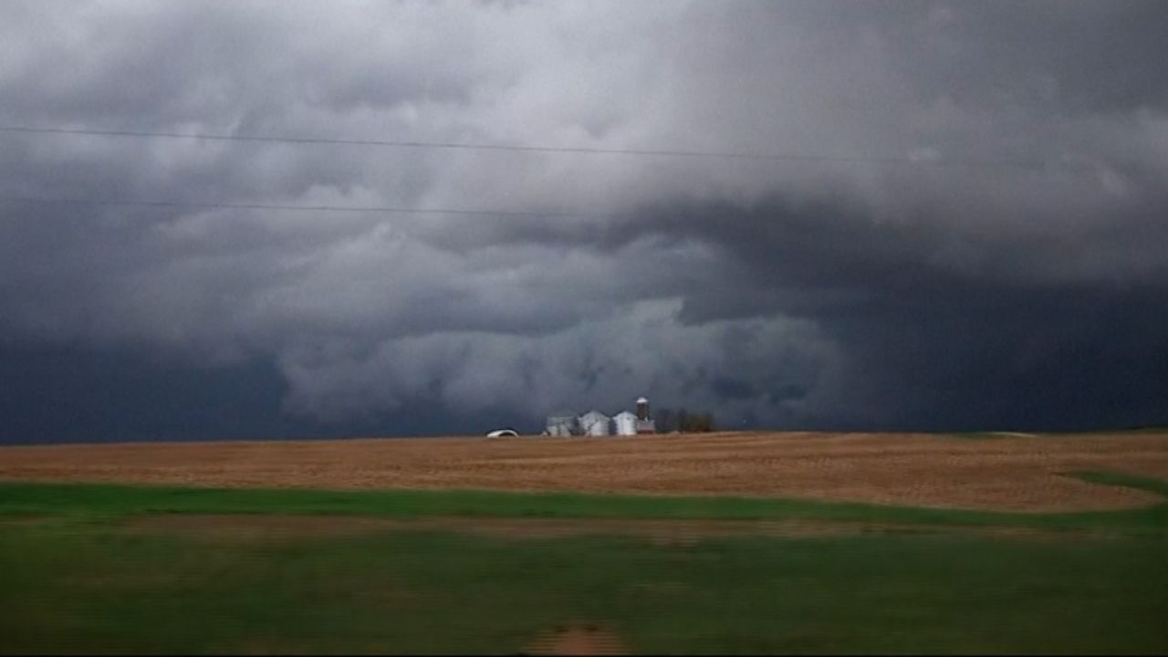
As of Thursday morning, active severe thunderstorm clusters are moving through the Plains and southern Great Lakes. These storms are currently packing a punch with damaging wind gusts and locally heavy rainfall.
The National Weather Service has already shaded large portions of the map in red (Tornado Watches) and yellow (Severe Thunderstorm Watches), signaling that the atmosphere is primed for volatile weather development. Local authorities are urging residents to have multiple ways to receive alerts, especially during overnight hours.
Thursday: Focused Threat in the Northeast
While the overall threat today appears more isolated compared to earlier in the week, the danger remains high for specific regions. The primary focus for Thursday’s severe weather will be:
- Upstate New York to Central New England: This area is under the gun for supercell development.
- Hazards: Isolated tornadoes, damaging straight-line winds, and scattered hail.
- Impact: Commuters in the interior Northeast should expect delays and localized power outages as these fast-moving cells sweep through.
Friday: “A More Serious Threat” Emerges
Meteorologists are sounding the alarm for Friday afternoon and evening, calling it a “more serious threat.” The storm system is expected to re-intensify as it shifts back over the Southern Plains and the Cornbelt.
This setup is particularly concerning because it features two distinct modes of danger:
- Supercells: Individual, rotating storms that could produce strong tornadoes and giant hail.
- Squall Lines: Fast-moving walls of wind that can cause widespread structural damage and contain “embedded” tornadoes that form with little warning.
The “darker shaded areas” on the forecast maps indicate the highest risk zones, where the combination of heat, moisture, and wind shear is most explosive.
Saturday: Weekend Impact and Flooding Concerns
The siege doesn’t end Friday. As a powerful cold front pushes East on Saturday, isolated to scattered severe storms will likely erupt from the Great Lakes and Ohio Valley all the way down to Texas.
Beyond the wind and tornado threat, flooding rain remains a major concern. With soils already saturated from Monday’s initial storms, even a few inches of additional rain could trigger significant river flooding and flash floods in urban areas.
Safety Checklist for Local Residents
- Identify Your Shelter: Know exactly where to go—preferably a basement or an interior room on the lowest floor.
- Charge Devices: Ensure your phones and power banks are fully charged before storms arrive.
- Secure Property: Move outdoor furniture, trash cans, and loose items inside to prevent them from becoming flying debris.
What is the weather like in your area right now? Are you seeing the dark clouds roll in, or are you preparing your storm shelter? Share your local updates and photos in the comments below to help keep your neighbors informed!