Binghamton, New York – Drivers across central New York and northeast Pennsylvania are being urged to prepare for slick, icy travel conditions beginning late Tuesday afternoon as a wintry mix of snow, freezing rain, sleet, and rain moves into the region. The most dangerous travel conditions are expected Tuesday evening through Wednesday morning, coinciding with both commute periods as temperatures remain near the freezing mark.
Forecasters say even small amounts of ice can significantly impact road safety, especially on untreated surfaces, bridges, and elevated roadways.
Winter Weather Advisory in Effect
According to the National Weather Service in Binghamton, a Winter Weather Advisory is in effect from late Tuesday afternoon through Wednesday morning for Oneida County, much of central New York, and portions of northeast Pennsylvania.
Meteorologists expect a complex and rapidly changing precipitation pattern, with snowfall transitioning to freezing rain and sleet before changing back to snow in some areas overnight.
Key forecast details include:
- Ice accumulation around one-tenth of an inch
- Localized ice up to one-quarter inch near and just north of the Mohawk Valley
- Snow and freezing rain mixing in northern Oneida County
- Freezing rain and rain more likely in southern Oneida County before changing back to wet snow
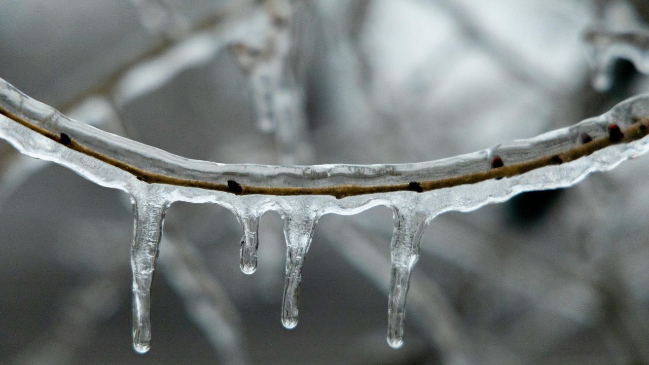
Even light ice accumulations can lead to widespread travel disruptions, including spin-outs, accidents, and difficult walking conditions.
Areas Most Likely to Be Impacted
Communities expected to experience hazardous travel conditions include Utica, Rome, Boonville, Oneonta, Delhi, Monticello, Walton, and Honesdale. Residents in these areas may notice roads changing quickly from wet to icy, particularly during periods of freezing rain.
In northern Oneida County, snow and freezing rain may alternate through the evening, creating uneven road surfaces. Meanwhile, areas closer to the Mohawk Valley may see a longer period of freezing rain before colder air pushes back in overnight.
These transitions increase the risk of black ice, which can be especially dangerous because it is difficult to see.
Travel Conditions Expected to Deteriorate Tonight
Transportation officials warn that the Tuesday evening commute could become increasingly hazardous as temperatures hover around 32 degrees, allowing ice to form even while precipitation appears light.
Motorists are advised to:
- Reduce speed and increase following distance
- Avoid sudden braking or sharp turns
- Use extra caution on bridges, hills, and untreated roads
- Allow extra travel time or delay non-essential trips
Sidewalks, parking lots, and driveways may also become slippery, increasing the risk of slips and falls, particularly for pedestrians and those walking pets.
Wednesday Morning Commute May Remain Difficult
The Wednesday morning commute could still be impacted, especially in areas where freezing rain lingers or where snow refreezes overnight. Road crews are expected to continue treating main routes, but secondary roads and rural areas may remain icy.
Forecasters note that travel conditions should gradually improve later Wednesday as temperatures rise above freezing and precipitation tapers off. Until then, drivers should remain alert for changing conditions, especially during early morning hours.
A spokesperson with the National Weather Service emphasized the importance of caution, noting that even brief freezing rain events can cause widespread issues due to thin but dangerous ice layers.
Safety Tips for Residents
Officials recommend residents take simple precautions to stay safe during the advisory period:
- Wear footwear with good traction
- Use handrails when walking outdoors
- Check on elderly neighbors or those with mobility issues
- Ensure vehicles are equipped with winter-ready tires
- Keep emergency supplies in vehicles, including blankets, flashlights, and chargers
Those who must travel overnight or early Wednesday should monitor local forecasts and road condition updates before heading out.
What Happens Next
The Winter Weather Advisory remains in effect through Wednesday morning, and additional updates may be issued if conditions worsen or if ice accumulation exceeds current expectations. Weather patterns this time of year can shift quickly, making real-time updates especially important.
Residents are encouraged to stay informed and make travel decisions cautiously as this wintry mix moves through the region.
Have you encountered icy roads or changing conditions where you live? Share your experiences in the comments below.