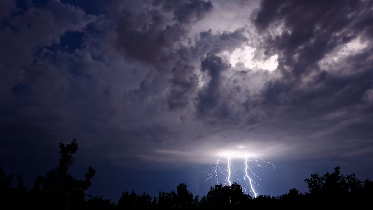
KANSAS CITY, MO — Residents across the nation’s heartland are being urged to stay weather-aware as meteorologists warn of a persistent, near-daily threat of severe thunderstorms beginning late Wednesday and lasting well into next week.
While experts note the setup may not initially seem as volatile as last week’s historic 70-tornado outbreak, the combination of Gulf moisture and a strong jet stream could trigger significant outbreaks with very little warning.
The Daily Breakdown: What to Expect
The storm track is expected to shift geographically each day, bringing different threats to various regions:
- Wednesday Night: The first volley hits northwestern Kansas, Nebraska, the Dakotas, and western Minnesota. Expect “spotty” severe storms with hail and wind gusts up to 70 mph (with local bursts reaching 85 mph).
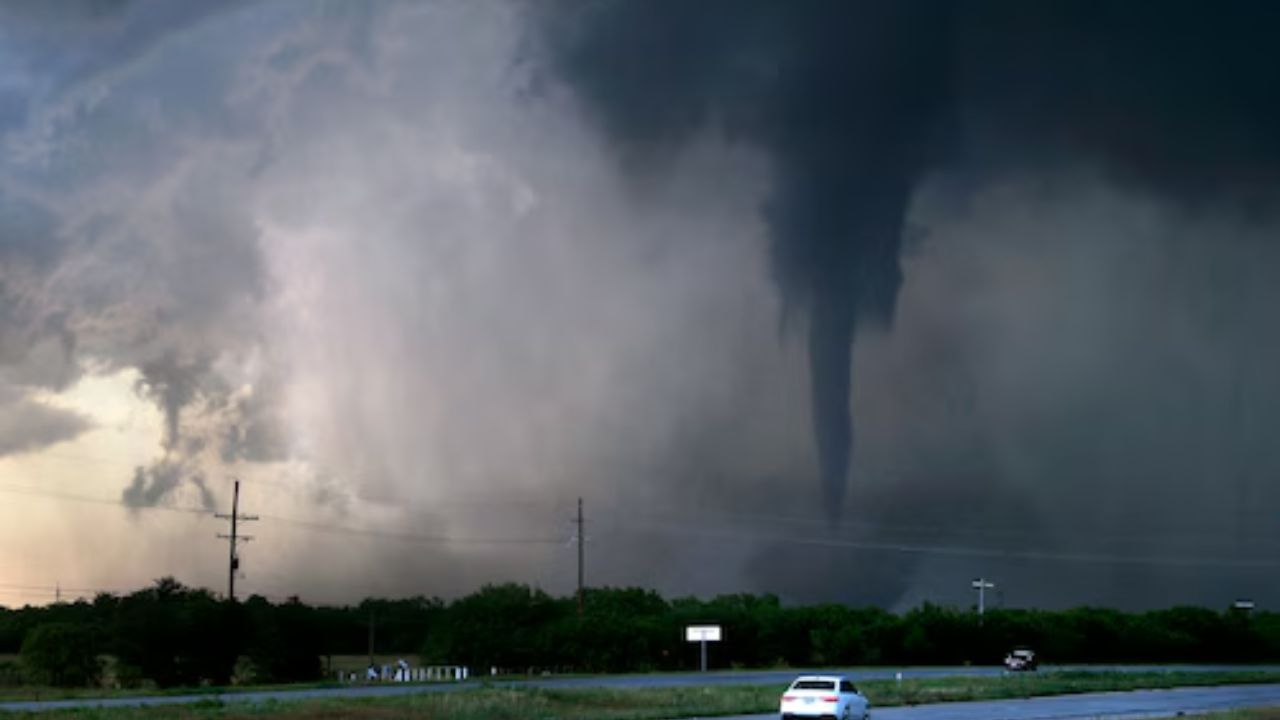
- Thursday: Coverage expands significantly. A 2,000-mile stretch from Oklahoma to south-central Canada is at risk. The most concentrated danger zone sits over western Iowa, eastern Nebraska, western Missouri, and eastern Kansas, where tornadoes are a distinct possibility.
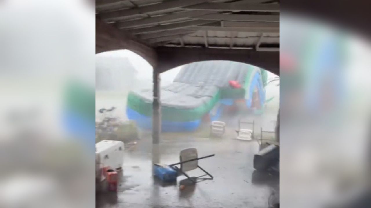
- Friday & Saturday: The threat shifts toward Texas, Illinois, Tennessee, and Mississippi. While localized flooding and drought relief are expected, damaging hail remains the primary concern.
- Sunday “Major Day” Alert: Meteorologists are circling Sunday as a potential high-intensity day. A concentrated zone covering eastern Oklahoma, NE Texas, SE Kansas, and western Arkansas could see powerful wind gusts and multiple tornadoes.
Hidden Dangers: The “After Dark” Factor
One of the most concerning aspects of this forecast is the timing. Early next week, as the storms move toward the Mississippi Valley, some of the most intense activity is predicted to occur after sunset.
Nighttime tornadoes are statistically more dangerous because they are difficult to spot visually, and many residents may be asleep when warnings are issued. Authorities recommend having a weather radio or emergency alerts enabled on your smartphone with the volume turned up.
Travel and Commute Disruptions
Major hubs, including Kansas City, St. Louis, and Dallas, could see significant impacts:
- Aviation: Ground stops and flight cancellations are likely at major airports as storms approach.
- Highway Safety: Sudden downpours will cause hydroplaning risks on I-35, I-70, and I-44. Motorists are urged to never seek shelter under highway overpasses, as these can act as wind tunnels during tornadic activity.
Community Check-In: Are You Prepared?
Last week was a wake-up call for many in the Central U.S. As we head into another active week, we want to know:
1. Does your family have a designated “Safe Room” or storm shelter ready?
2. Do you have a way to receive alerts if the power goes out at night?
3. If you’re a traveler, are you adjusting your plans for the Sunday peak?
Share your storm prep tips or local weather updates in the comments below to help your neighbors stay safe!