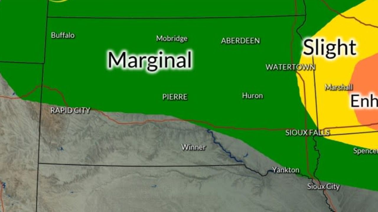
LOCAL FORECAST — After a brief taste of spring warmth, a dramatic shift in the weather pattern is headed our way. While Monday stands out as the “best day of the bunch,” local residents should prepare for a soggy midweek and a significantly colder weekend that could threaten early-season gardens.
As quiet weather prevails Monday night, the atmosphere is beginning to shift. Temperatures are expected to bottom out in the lower and middle 40s tonight, setting the stage for a series of weather systems that will bring rain, wind, and a late-season chill to the region.
The Midweek Setup: Rain and Falling Temperatures
The transition begins on Tuesday as an approaching cold front moves through the area. Residents should keep an umbrella handy, as the front will trigger scattered showers throughout the day. While Tuesday won’t be a total washout, the next significant round of weather arrives shortly after.
On Wednesday afternoon, a more robust system will move in, bringing rain that will persist through the night. Forecasters warn that this rain has the potential to be heavy at times, which could impact the Wednesday evening commute and lead to localized ponding on roadways.
During this period, temperatures will hover in the upper 50s and lower 60s, but don’t get used to the mild air—a much sharper cooling trend is lurking just behind this system.
The Weekend Outlook: Clouds, Showers, and Even Snow?
The real story begins on Thursday as a slow-moving, upper-level storm system settles over the Northeast and the Great Lakes. Because these systems are notoriously sluggish, the impact will likely be felt straight through the weekend.
From Thursday through Sunday, locals can expect:
- Persistent Cloud Cover: More clouds than sun for four consecutive days.
- Daily Showers: Isolated-to-scattered rain showers will be a daily occurrence.
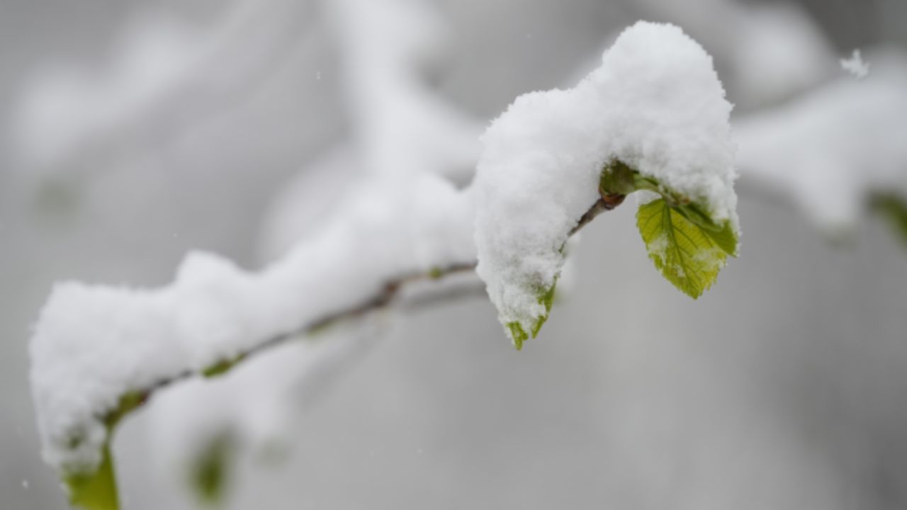
- Wintry Mix Potential: In a surprising twist for late April, a few snow showers are possible, particularly during the overnight and early morning hours when the air is at its coldest.
High temperatures during this stretch will struggle to leave the lower and middle 50s, feeling more like late March than late April.
Gardener’s Warning: Frost Potential
With overnight lows plunging into the 30s later this week, the threat of frost is becoming a major concern for local hobbyists and farmers.
If you have already started your spring planting or have sensitive outdoor vegetation, you will need to take precautions. Depending on exactly how low the mercury drops at night, areas of frost are highly likely. It is recommended to cover delicate plants or bring potted greens indoors before the sun goes down on Thursday and Friday nights.
Community Check-In: Are You Ready for the Cold?
We’ve had a few teases of warm weather, but Mother Nature isn’t done with the cold just yet.
We want to hear from you:
- Have you already started your garden, or were you waiting for the “Last Frost” date?
- Are you ready for a weekend of “indoor weather,” or did this forecast ruin your outdoor plans?
- Do you think we’re actually going to see snow showers this late in the season?
Drop a comment below and let your neighbors know how you’re preparing for the chill!