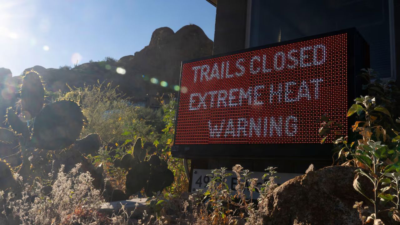
Oklahoma City, Oklahoma — Severe weather threats are continuing across the Central United States as meteorologists warn that another dangerous round of storms could bring powerful tornadoes, giant hail, and flooding rain into early next week.
After days of active weather across the country, forecasters say conditions are once again becoming favorable for significant storm development, placing more than 40 million Americans at risk.
Dangerous Storm Setup Developing
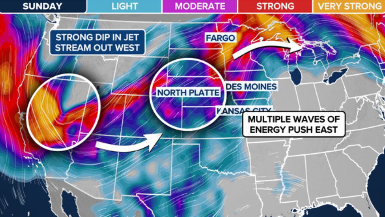
Weather experts say a strong dip in the jet stream is moving into the western United States, helping fuel instability across the Plains and Midwest.
At the same time, a strengthening low-pressure system is expected to intensify as it moves northeastward through Sunday afternoon.
The setup becomes even more dangerous due to a surge of warm, moisture-rich air flowing north from the Gulf, creating the perfect environment for severe thunderstorm development.
Forecasters expect the heart of storm activity to stretch from central Minnesota to the Texas Panhandle, covering a massive area vulnerable to dangerous weather.
Supercell Thunderstorms Could Produce Tornadoes
On Sunday afternoon and evening, meteorologists are especially concerned about the formation of discrete, long-lived supercell thunderstorms.
These powerful storms are capable of producing very large hail measuring up to 3 inches or more, damaging wind gusts, and tornadoes.
Forecasters warn that the tornado threat may become even more serious after sunset.
Some tornadoes could become strong and dangerous, especially in parts of the northern Plains and Midwest where atmospheric conditions are expected to rapidly intensify.
Highest-Risk Areas Identified
A Level 2 out of 5 severe weather risk covers a broad area from Minnesota down to Texas on Sunday.
However, a more concentrated Level 3 out of 5 threat has been issued for parts of:
- South Dakota
- Minnesota
- Iowa
- Nebraska
These regions are expected to face the greatest risk for severe thunderstorms capable of producing tornadoes and destructive hail.
On Monday, the severe weather threat expands even farther, stretching from Michigan to Texas over a distance of more than 1,000 miles.
The enhanced risk area will shift southward into:
- Kansas
- Eastern Nebraska
- Western Iowa
Like Sunday, the biggest concerns Monday will remain large hail and a few strong tornadoes.
Storm Threat Continues Into Tuesday
The severe weather pattern is not expected to end quickly. Forecasters say the threat will continue into Tuesday, with another Level 2 out of 5 storm risk extending from Oklahoma to Illinois.
Heat, Humidity and Hail: Texas Forecast Shows Stormy Conditions Could Intensify by Sunday Evening
Communities already impacted by recent storms could once again face dangerous conditions as repeated rounds of thunderstorms move through the region.
Flooding Rain Also Possible
In addition to tornadoes and hail, heavy rainfall could create flooding concerns in multiple states.
Meteorologists predict a widespread 1 to 2 inches of rain from Minnesota to Texas by the time the storm system moves out. Some localized areas could receive 2 to 3 inches of rainfall, increasing the possibility of flash flooding and water-covered roads.
Residents in affected areas are being urged to stay alert, monitor weather warnings closely, and have emergency plans ready in case tornado watches or warnings are issued.
Are severe storms expected in your area this week? Share your thoughts and stay weather-aware in the comments below.