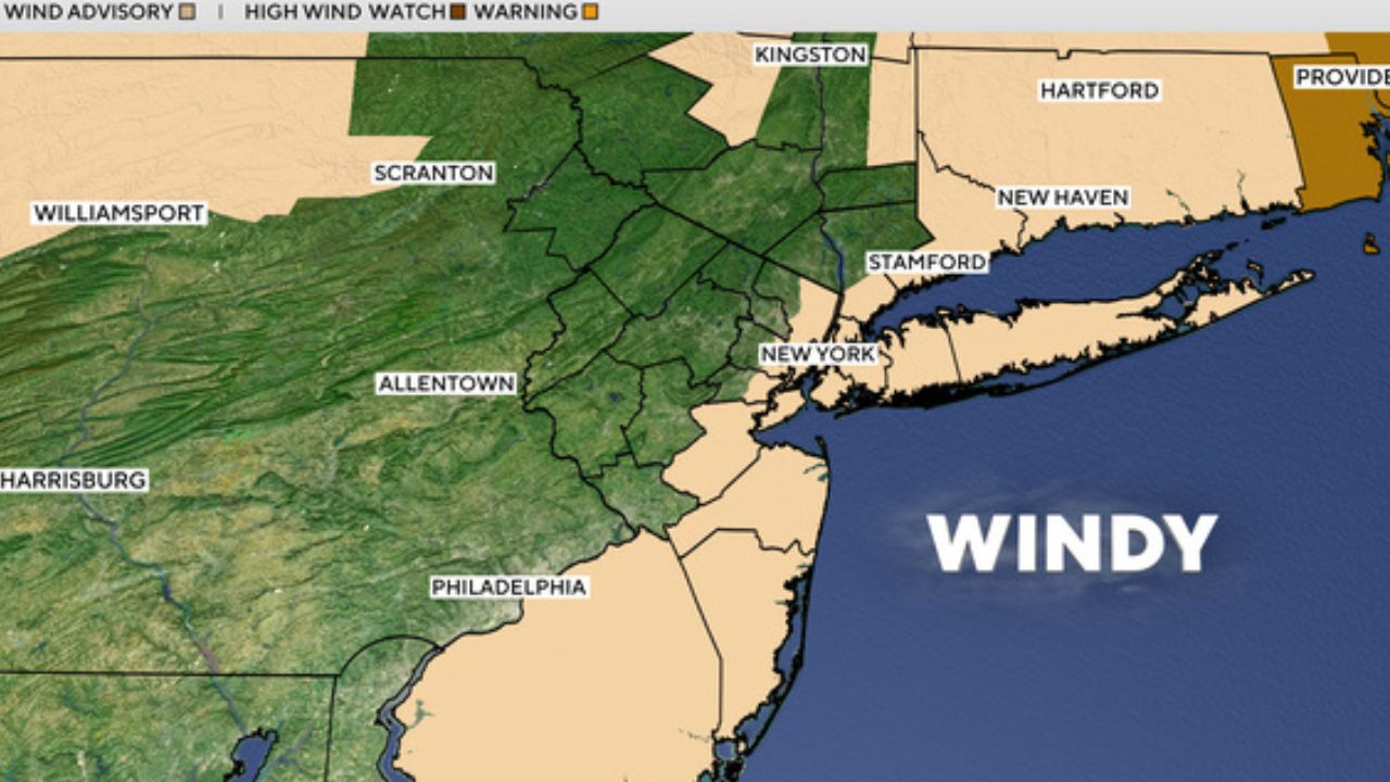
Kansas City, Missouri — Residents across the Kansas City metro area are being advised to stay weather-aware as forecasters track a developing storm system that could bring severe thunderstorms, damaging winds, and possible tornadoes early next week.
While much of the weekend is expected to remain dry, meteorologists warn that conditions could quickly become more dangerous by Monday as a stronger system moves into the region.
Weekend Starts Mostly Quiet
The Kansas City area is expected to see plenty of dry weather throughout most of the weekend, giving residents a brief break before more active weather arrives.
However, forecasters say some thunderstorms may develop across northwest Missouri and northeast Kansas during the weekend. These storms could become strong in isolated areas before weakening as they approach the Kansas City metro.
At this time, the greatest risk for severe weather appears to remain north of the city, though weather patterns can shift quickly depending on storm development and atmospheric conditions.
Despite the storm potential, many areas in and around Kansas City are still expected to enjoy long stretches of dry weather through Sunday.
Hot and Humid Conditions Expected Sunday
Before the stronger storm system arrives, Sunday is forecast to bring hot and humid conditions across much of the region.
Temperatures are expected to climb while moisture levels increase, creating an uncomfortable but mostly dry day for many residents.
Meteorologists say the heat and humidity will help create the unstable atmosphere needed for stronger storms to develop by Monday.
The combination of warm temperatures and incoming weather disturbances often increases the potential for severe thunderstorm formation during spring weather patterns in the Midwest.
Monday Declared an Alert Day
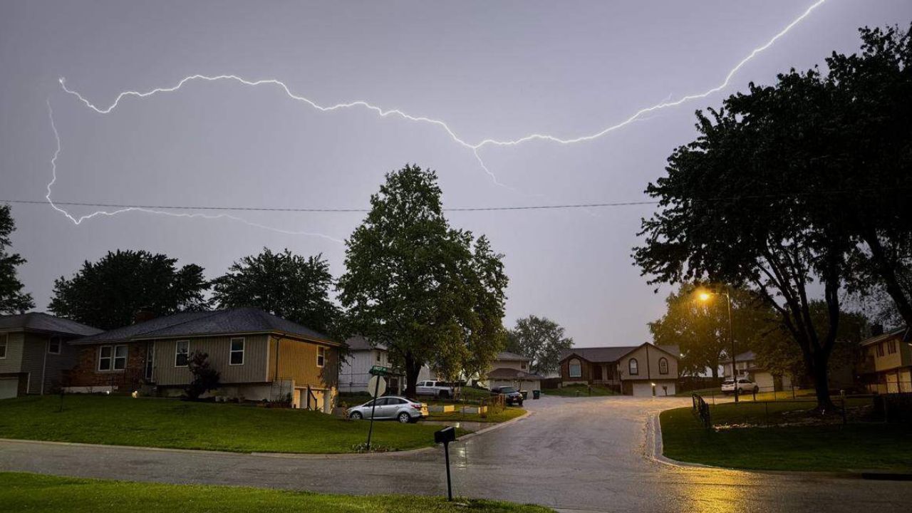
The greatest concern arrives Monday, which has already been designated as an Alert Day due to the increasing risk of severe weather across the area.
Forecasters say widespread rain and thunderstorms are expected to develop as a cold front pushes through the region.
The storms could become severe shortly after forming, with several hazards already being closely monitored.
Possible threats include:
- Large hail capable of damaging vehicles and property
- Strong and damaging wind gusts
- Heavy rainfall
- A few isolated tornadoes
Meteorologists caution that even if tornadoes remain limited, strong thunderstorms can still produce dangerous conditions capable of causing widespread damage and travel disruptions.
Cooler Weather Returns After Storms
The good news for residents is that the unsettled weather is not expected to last long.
Once the cold front passes through the region, cooler and more comfortable conditions are forecast to return. Humidity levels are expected to drop significantly, bringing a more pleasant stretch of weather after Monday’s storm threat moves out.
This pattern is common during spring months when strong temperature contrasts often trigger severe weather before cooler air settles in behind the system.
Residents Encouraged to Stay Prepared
With severe weather season underway, officials are encouraging residents to review safety plans and stay updated on the latest forecasts throughout the weekend and into Monday.
People are advised to have multiple ways to receive weather alerts, especially overnight or during work hours when warnings can sometimes be missed.
Even though not every community will see severe weather, forecasters stress that conditions can change rapidly, making preparation important for everyone in the region.
Do you think the Kansas City area is ready for another round of severe weather? Share your thoughts and stay weather-aware in the comments below.